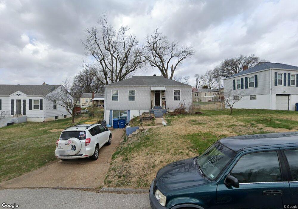
1915 Stedman Ct Saint Louis, MO 63114
Estimated Value: $123,193 - $145,000
2
Beds
1
Bath
1,008
Sq Ft
$131/Sq Ft
Est. Value
About This Home
This home is located at 1915 Stedman Ct, Saint Louis, MO 63114 and is currently estimated at $132,298, approximately $131 per square foot. 1915 Stedman Ct is a home located in St. Louis County with nearby schools including Iveland Elementary School, Hoech Middle School, and Ritenour Senior High School.
Ownership History
Date
Name
Owned For
Owner Type
Purchase Details
Closed on
Oct 4, 2007
Sold by
Shelton Letha M
Bought by
Harkins David J and Shelton Harkins Jeanne M
Current Estimated Value
Home Financials for this Owner
Home Financials are based on the most recent Mortgage that was taken out on this home.
Original Mortgage
$78,000
Outstanding Balance
$49,381
Interest Rate
6.48%
Mortgage Type
Purchase Money Mortgage
Estimated Equity
$82,917
Create a Home Valuation Report for This Property
The Home Valuation Report is an in-depth analysis detailing your home's value as well as a comparison with similar homes in the area
Home Values in the Area
Average Home Value in this Area
Purchase History
| Date | Buyer | Sale Price | Title Company |
|---|---|---|---|
| Harkins David J | $78,000 | Tsi |
Source: Public Records
Mortgage History
| Date | Status | Borrower | Loan Amount |
|---|---|---|---|
| Open | Harkins David J | $78,000 |
Source: Public Records
Tax History Compared to Growth
Tax History
| Year | Tax Paid | Tax Assessment Tax Assessment Total Assessment is a certain percentage of the fair market value that is determined by local assessors to be the total taxable value of land and additions on the property. | Land | Improvement |
|---|---|---|---|---|
| 2025 | $1,753 | $27,250 | $6,840 | $20,410 |
| 2024 | $1,753 | $20,410 | $3,140 | $17,270 |
| 2023 | $1,714 | $20,410 | $3,140 | $17,270 |
| 2022 | $1,821 | $19,040 | $2,740 | $16,300 |
| 2021 | $1,820 | $19,040 | $2,740 | $16,300 |
| 2020 | $1,529 | $14,710 | $3,120 | $11,590 |
| 2019 | $1,514 | $14,710 | $3,120 | $11,590 |
| 2018 | $1,629 | $14,270 | $2,740 | $11,530 |
| 2017 | $1,553 | $14,270 | $2,740 | $11,530 |
| 2016 | $1,336 | $12,470 | $3,120 | $9,350 |
| 2015 | $1,366 | $12,470 | $3,120 | $9,350 |
| 2014 | $1,496 | $13,920 | $1,650 | $12,270 |
Source: Public Records
Map
Nearby Homes
- 10040 Driver Ave
- 10110 Lackland Rd
- 2106 Lackland Rd
- 10222 Driver Ave
- 9833 Eastbrook Dr
- 10107 Niblic Dr
- 10111 Niblic Dr
- 9816 Lullaby Ln
- 1735 O Connell Ave
- 9913 Zykan Ct
- 9906 Zykan Ct
- 10310 Lackland Rd
- 9833 Zykan Dr
- 10301 Niblic Dr
- 9825 Zykan Dr
- 9705 Miriam Ave
- 9617 Cote Brilliante Ave
- 2228 Spencer Ave
- 10490 Canter Way
- 1481 Werremeyer Place
- 1919 Stedman Ct
- 1911 Stedman Ct
- 1925 Stedman Ct
- 1912 Clare Ct
- 1907 Stedman Ct
- 1908 Clare Ct
- 1916 Clare Ct
- 1904 Clare Ct
- 1912 Stedman Ct
- 1920 Clare Ct
- 1916 Stedman Ct
- 1929 Stedman Ct
- 1908 Stedman Ct
- 1901 Stedman Ct
- 1920 Stedman Ct
- 1924 Clare Ct
- 1900 Clare Ct
- 1904 Stedman Ct
- 1924 Stedman Ct
- 1933 Stedman Ct