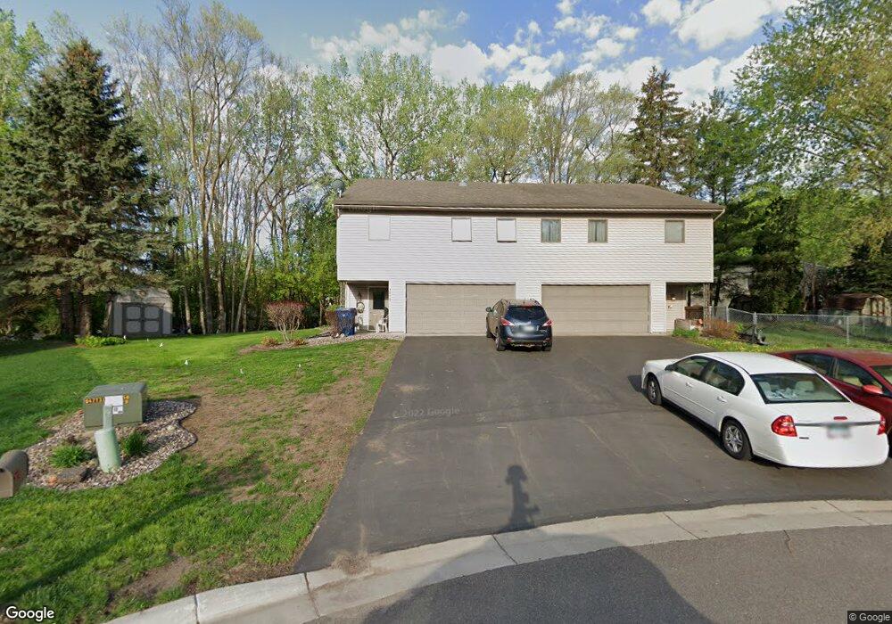
1916 55th Street Ct E Inver Grove Heights, MN 55077
Estimated Value: $278,000 - $344,000
3
Beds
2
Baths
1,020
Sq Ft
$305/Sq Ft
Est. Value
About This Home
This home is located at 1916 55th Street Ct E, Inver Grove Heights, MN 55077 and is currently estimated at $310,664, approximately $304 per square foot. 1916 55th Street Ct E is a home located in Dakota County with nearby schools including Salem Hills Elementary School, Inver Grove Heights Middle School, and Simley Senior High School.
Ownership History
Date
Name
Owned For
Owner Type
Purchase Details
Closed on
Aug 31, 2009
Sold by
Knoll Karen M
Bought by
Reynolds Randolph
Current Estimated Value
Home Financials for this Owner
Home Financials are based on the most recent Mortgage that was taken out on this home.
Original Mortgage
$191,468
Outstanding Balance
$120,398
Interest Rate
5.27%
Mortgage Type
FHA
Estimated Equity
$190,266
Purchase Details
Closed on
Mar 28, 2005
Sold by
Sherry Robert and Sherry Lori Anne
Bought by
Knoll Karen
Create a Home Valuation Report for This Property
The Home Valuation Report is an in-depth analysis detailing your home's value as well as a comparison with similar homes in the area
Home Values in the Area
Average Home Value in this Area
Purchase History
| Date | Buyer | Sale Price | Title Company |
|---|---|---|---|
| Reynolds Randolph | -- | -- | |
| Knoll Karen | $206,000 | -- |
Source: Public Records
Mortgage History
| Date | Status | Borrower | Loan Amount |
|---|---|---|---|
| Open | Reynolds Randolph | $191,468 |
Source: Public Records
Tax History Compared to Growth
Tax History
| Year | Tax Paid | Tax Assessment Tax Assessment Total Assessment is a certain percentage of the fair market value that is determined by local assessors to be the total taxable value of land and additions on the property. | Land | Improvement |
|---|---|---|---|---|
| 2024 | $4,316 | $252,400 | $62,300 | $190,100 |
| 2023 | $4,316 | $257,600 | $60,700 | $196,900 |
| 2022 | $3,182 | $253,300 | $60,600 | $192,700 |
| 2021 | $3,120 | $218,000 | $52,700 | $165,300 |
| 2020 | $2,978 | $206,600 | $50,200 | $156,400 |
| 2019 | $2,007 | $191,900 | $47,800 | $144,100 |
| 2018 | $1,659 | $182,300 | $45,500 | $136,800 |
| 2017 | $1,688 | $154,500 | $43,400 | $111,100 |
| 2016 | $1,583 | $153,900 | $41,300 | $112,600 |
| 2015 | $1,567 | $122,336 | $33,676 | $88,660 |
| 2014 | -- | $114,488 | $31,912 | $82,576 |
| 2013 | -- | $109,910 | $29,472 | $80,438 |
Source: Public Records
Map
Nearby Homes
- 5875 Asher Ave
- 6090 Babcock Trail
- 4825 Babcock Trail Unit 2005
- 1855 63rd St E
- 4739 Blaine Ave Unit 506
- 6320 Baker Ave
- 4898 Bitterman Path Unit 9101
- 4680 Bloomberg Ln
- 5870 Blackberry Bridge Path
- 6495 Beckman Ave
- 4570 Blaylock Way Unit 4202
- 4552 Blaylock Way
- 2116 65th St E
- 5903 Bryant Ln
- 5472 Bryce Ave
- 4970 Boyd Ave
- 4543 Bloomberg Cir
- 1127 9th Ave S
- 416 20th Ave S
- 6244 Bolland Trail
- 1914 55th Street Ct E
- 1918 55th Street Ct E
- 1904 1904 55th Street-Court-e
- 1846 55th St E
- 1920 55th Street Ct E
- 1912 55th Street Ct E
- 1922 55th Street Ct E
- 1910 55th Street Ct E
- 1924 55th Street Ct E
- 1840 55th St E
- 1908 55th Street Ct E
- 1836 55th St E
- 1926 55th Street Ct E
- 1904 55th Street Ct E
- 1885 Upper 55th St E
- 1928 55th Street Ct E
- 1847 Upper 55th St E
- 1826 55th St E Unit 30
- 1915 55th St E
- 1930 55th Street Ct E