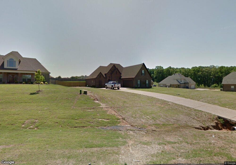
1916 Bakersfield Trace Nesbit, MS 38651
Lewisburg NeighborhoodEstimated Value: $358,478 - $498,000
3
Beds
--
Bath
2,471
Sq Ft
$176/Sq Ft
Est. Value
About This Home
This home is located at 1916 Bakersfield Trace, Nesbit, MS 38651 and is currently estimated at $435,620, approximately $176 per square foot. 1916 Bakersfield Trace is a home with nearby schools including Lewisburg Primary School, Lewisburg Elementary School, and Lewisburg Middle School.
Ownership History
Date
Name
Owned For
Owner Type
Purchase Details
Closed on
May 11, 2020
Sold by
Bills Jeremy W
Bought by
Bills Casey A
Current Estimated Value
Home Financials for this Owner
Home Financials are based on the most recent Mortgage that was taken out on this home.
Original Mortgage
$217,600
Outstanding Balance
$191,552
Interest Rate
3.3%
Mortgage Type
New Conventional
Estimated Equity
$244,068
Purchase Details
Closed on
Dec 20, 2013
Sold by
Dhc Of Ms Llc
Bought by
Bills Jeremy W and Bills Casey A
Home Financials for this Owner
Home Financials are based on the most recent Mortgage that was taken out on this home.
Original Mortgage
$221,906
Interest Rate
4.38%
Mortgage Type
FHA
Create a Home Valuation Report for This Property
The Home Valuation Report is an in-depth analysis detailing your home's value as well as a comparison with similar homes in the area
Home Values in the Area
Average Home Value in this Area
Purchase History
| Date | Buyer | Sale Price | Title Company |
|---|---|---|---|
| Bills Casey A | -- | Guardian Title Llc | |
| Bills Jeremy W | -- | First National Financial Tit |
Source: Public Records
Mortgage History
| Date | Status | Borrower | Loan Amount |
|---|---|---|---|
| Open | Bills Casey A | $217,600 | |
| Closed | Bills Jeremy W | $221,906 |
Source: Public Records
Tax History
| Year | Tax Paid | Tax Assessment Tax Assessment Total Assessment is a certain percentage of the fair market value that is determined by local assessors to be the total taxable value of land and additions on the property. | Land | Improvement |
|---|---|---|---|---|
| 2025 | $1,746 | $24,808 | $3,600 | $21,208 |
| 2024 | $1,524 | $18,242 | $3,600 | $14,642 |
| 2023 | $1,524 | $18,169 | $0 | $0 |
| 2022 | $1,517 | $18,169 | $3,600 | $14,569 |
| 2021 | $1,517 | $18,169 | $3,600 | $14,569 |
| 2020 | $1,399 | $16,996 | $3,600 | $13,396 |
| 2019 | $1,399 | $16,996 | $3,600 | $13,396 |
| 2017 | $1,423 | $30,618 | $17,109 | $13,509 |
| 2016 | $1,423 | $17,109 | $3,600 | $13,509 |
| 2015 | $1,723 | $30,618 | $17,109 | $13,509 |
| 2014 | $1,423 | $17,109 | $0 | $0 |
Source: Public Records
Map
Nearby Homes
- 4809 Bakersfield Dr
- 1960 Bakersfield Dr N
- 2024 Laughter Rd
- 4609 Big Horn Dr S
- 4490 Big Horn Dr S
- 1817 Caribe Dr
- 1789 Caribe Dr
- 1762 Bakersfield Way
- 1755 Bakersfield Way
- 1735 Bakersfield Way
- 4276 Brooke Dr
- 5290 Watson View Dr
- 2009 Plumas Dr
- 2216 Watson View E
- 4209 Edison Dr
- Lot 107 Brooke Dr
- 1722 Baisley Dr
- 1835 Baisley Dr
- Lot 99 Baisley Dr
- 1811 Baisley Dr
- 1932 Bakersfield Trace
- 4806 Bakersfield Dr
- 4788 Bakersfield Dr
- 4828 Bakersfield Dr
- 1948 Bakersfield Trace
- 1921 Bakersfield Trace
- 4879 Bakersfield Cove
- 4850 Bakersfield Dr
- 1888 Bakersfield Trace
- 1947 Bakersfield Trace
- 4887 Bakersfield Cove
- 1973 Bakersfield Trace
- 1992 Bakersfield Trace
- 1962 Bakersfield Trace
- 4868 Bakersfield Dr
- 4718 Bakersfield Dr
- 4881 Bakersfield Cove
- 4721 Bakersfield Dr
- 1965 Bakersfield Trace
- 4911 Bakersfield Cove
Your Personal Tour Guide
Ask me questions while you tour the home.