Estimated Value: $287,000 - $476,000
3
Beds
1
Bath
956
Sq Ft
$422/Sq Ft
Est. Value
About This Home
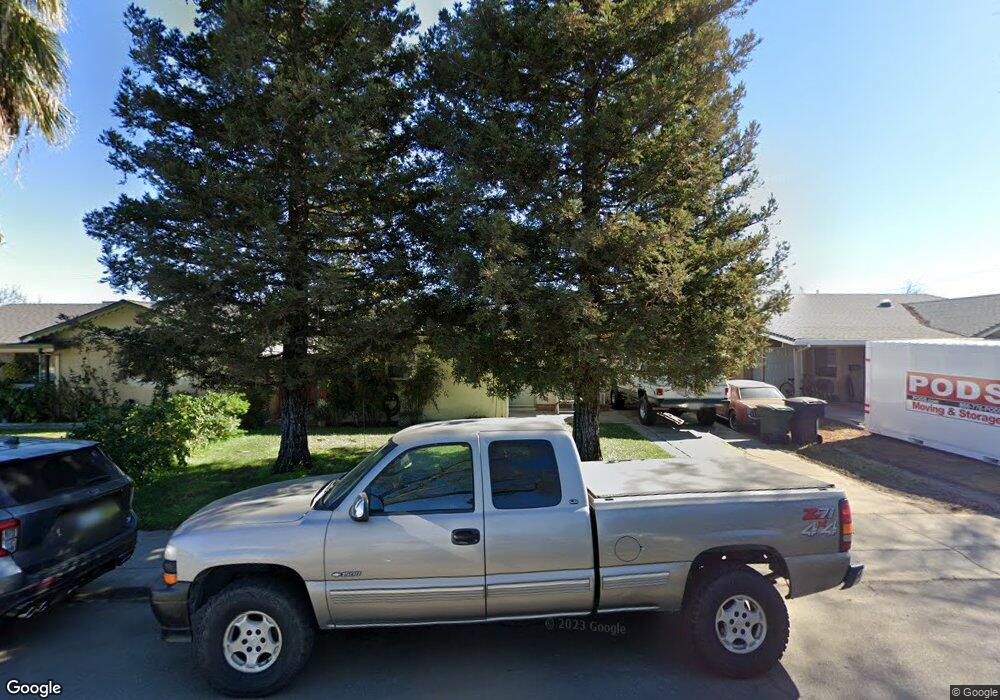
This home is located at 1916 Deborah St, Tracy, CA 95376 and is currently estimated at $403,083, approximately $421 per square foot. 1916 Deborah St is a home located in San Joaquin County with nearby schools including Central Elementary School, Tracy High School, and Primary Charter School.
Ownership History
Date
Name
Owned For
Owner Type
Purchase Details
Closed on
Sep 17, 2022
Sold by
Thorson Troy R and Thorson Christine R
Bought by
Thorson-Holt 2022 Revocable Living Trust
Current Estimated Value
Purchase Details
Closed on
Jan 20, 2021
Sold by
Holt Christine and Estate Of Barbara A Holt
Bought by
Holt Christine
Purchase Details
Closed on
Nov 12, 1998
Sold by
Wertman Robert E and Wertman C L
Bought by
Thorson Troy R and Holt Christine R
Home Financials for this Owner
Home Financials are based on the most recent Mortgage that was taken out on this home.
Original Mortgage
$108,231
Interest Rate
6.54%
Mortgage Type
FHA
Create a Home Valuation Report for This Property
The Home Valuation Report is an in-depth analysis detailing your home's value as well as a comparison with similar homes in the area
Home Values in the Area
Average Home Value in this Area
Purchase History
| Date | Buyer | Sale Price | Title Company |
|---|---|---|---|
| Thorson-Holt 2022 Revocable Living Trust | -- | -- | |
| Thorson-Holt 2022 Revocable Living Trust | -- | -- | |
| Holt Christine | -- | None Available | |
| Thorson Troy R | $126,000 | Chicago Title Co |
Source: Public Records
Mortgage History
| Date | Status | Borrower | Loan Amount |
|---|---|---|---|
| Previous Owner | Thorson Troy R | $108,231 |
Source: Public Records
Tax History
| Year | Tax Paid | Tax Assessment Tax Assessment Total Assessment is a certain percentage of the fair market value that is determined by local assessors to be the total taxable value of land and additions on the property. | Land | Improvement |
|---|---|---|---|---|
| 2025 | $2,206 | $197,357 | $86,216 | $111,141 |
| 2024 | $2,031 | $193,488 | $84,526 | $108,962 |
| 2023 | $1,998 | $189,695 | $82,869 | $106,826 |
| 2022 | $1,956 | $185,977 | $81,245 | $104,732 |
| 2021 | $1,932 | $182,331 | $79,652 | $102,679 |
| 2020 | $1,919 | $180,463 | $78,836 | $101,627 |
| 2019 | $1,887 | $176,926 | $77,291 | $99,635 |
| 2018 | $1,854 | $173,458 | $75,776 | $97,682 |
| 2017 | $1,761 | $170,058 | $74,291 | $95,767 |
| 2016 | $1,780 | $166,724 | $72,834 | $93,890 |
| 2014 | $1,661 | $161,003 | $70,335 | $90,668 |
Source: Public Records
Map
Nearby Homes
- 1704 East St
- 379 E 22nd St
- 360 E Grant Line Rd Unit 11
- 360 E Grant Line Rd Unit 19 A
- 305 Portola Way
- 206 W 20th St
- 445 Royal Ct
- 2734 Balboa Dr
- 262 W Lowell Ave
- 1636 Parker Ave
- 1930 Wall St
- 2935 Holly Dr
- 1823 Wall St
- 2929 N Macarthur Dr Unit 173
- 445 W Lowell Ave
- 125 E 12th St
- 251 Ramona Way
- 539 W Lowell Ave
- 508 W Grant Line Rd
- 613 Carol Louise Ln
- 1920 Deborah St
- 1912 Deborah St
- 1924 Deborah St
- 1908 Deborah St
- 1928 Deborah St
- 1904 Deborah St
- 1917 Deborah St
- 1913 Deborah St
- 1921 Deborah St
- 1900 Deborah St
- 1909 Deborah St
- 322 E 20th St
- 339 E 20th St
- 1905 Deborah St
- 1828 Deborah St
- 318 E 20th St
- 1901 Deborah St
- 314 E 20th St
- 1824 Deborah St
- 1829 Deborah St
Your Personal Tour Guide
Ask me questions while you tour the home.