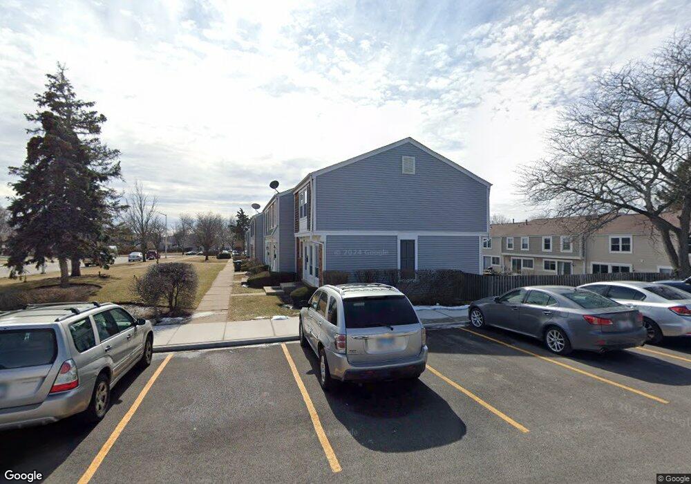
1916 Governors Ln Unit 1 Hoffman Estates, IL 60169
South Hoffman Estates NeighborhoodEstimated Value: $262,000 - $283,526
2
Beds
2
Baths
1,224
Sq Ft
$224/Sq Ft
Est. Value
About This Home
This home is located at 1916 Governors Ln Unit 1, Hoffman Estates, IL 60169 and is currently estimated at $274,632, approximately $224 per square foot. 1916 Governors Ln Unit 1 is a home located in Cook County with nearby schools including John Muir Literacy Academy, Dwight D Eisenhower Junior High School, and Hoffman Estates High School.
Ownership History
Date
Name
Owned For
Owner Type
Purchase Details
Closed on
Mar 21, 2008
Sold by
Thompson David A and Thompson Martetta
Bought by
Ocampo Francisco and Cacucciolo Margarita
Current Estimated Value
Home Financials for this Owner
Home Financials are based on the most recent Mortgage that was taken out on this home.
Original Mortgage
$161,511
Outstanding Balance
$100,889
Interest Rate
5.79%
Mortgage Type
FHA
Estimated Equity
$173,743
Purchase Details
Closed on
May 6, 1998
Sold by
Harris Bank Palatine
Bought by
Thompson David A and Thompson Martetta
Home Financials for this Owner
Home Financials are based on the most recent Mortgage that was taken out on this home.
Original Mortgage
$74,182
Interest Rate
7.25%
Mortgage Type
FHA
Create a Home Valuation Report for This Property
The Home Valuation Report is an in-depth analysis detailing your home's value as well as a comparison with similar homes in the area
Home Values in the Area
Average Home Value in this Area
Purchase History
| Date | Buyer | Sale Price | Title Company |
|---|---|---|---|
| Ocampo Francisco | $167,500 | None Available | |
| Thompson David A | $80,000 | -- |
Source: Public Records
Mortgage History
| Date | Status | Borrower | Loan Amount |
|---|---|---|---|
| Open | Ocampo Francisco | $161,511 | |
| Previous Owner | Thompson David A | $74,182 |
Source: Public Records
Tax History Compared to Growth
Tax History
| Year | Tax Paid | Tax Assessment Tax Assessment Total Assessment is a certain percentage of the fair market value that is determined by local assessors to be the total taxable value of land and additions on the property. | Land | Improvement |
|---|---|---|---|---|
| 2024 | $4,660 | $18,500 | $3,000 | $15,500 |
| 2023 | $4,478 | $18,500 | $3,000 | $15,500 |
| 2022 | $4,478 | $18,500 | $3,000 | $15,500 |
| 2021 | $3,510 | $13,806 | $1,858 | $11,948 |
| 2020 | $3,502 | $13,806 | $1,858 | $11,948 |
| 2019 | $3,487 | $15,340 | $1,858 | $13,482 |
| 2018 | $3,640 | $14,599 | $1,622 | $12,977 |
| 2017 | $3,595 | $14,599 | $1,622 | $12,977 |
| 2016 | $3,605 | $14,599 | $1,622 | $12,977 |
| 2015 | $3,394 | $13,190 | $1,416 | $11,774 |
| 2014 | $3,351 | $13,190 | $1,416 | $11,774 |
| 2013 | $3,247 | $13,190 | $1,416 | $11,774 |
Source: Public Records
Map
Nearby Homes
- 2230 Stratham Place
- 1949 Blackberry Ln Unit 91
- 1996 Blackberry Ln Unit 14
- 1956 Georgetown Ln Unit 4
- 1795 Marquette Ln Unit 5601
- 1925 Georgetown Ln Unit 4
- 1672 Cornell Dr
- 1886 Stockton Dr Unit 3253
- 1685 Cornell Dr
- 1840 Huntington Blvd Unit 412
- 1840 Huntington Blvd Unit 415
- 1808 Fayette Walk Unit H
- 1800 Huntington Blvd Unit AE615
- 1763 Bristol Walk Unit 1763
- 1738 Ardwick Dr
- 1704 Fayette Walk Unit B
- 1475 Rebecca Dr Unit 217
- 1977 Kenilworth Cir Unit D
- 1975 Kenilworth Cir Unit B
- 1375 Rebecca Dr Unit 318
- 1912 Governors Ln Unit 1
- 1920 Governors Ln
- 1904 Governors Ln
- 1900 Governors Ln Unit 1
- 1913 Williamsburg Dr Unit 1
- 1917 Williamsburg Dr
- 1911 Williamsburg Dr Unit 1
- 1909 Williamsburg Dr Unit 1
- 1921 Williamsburg Dr Unit 1
- 1896 Governors Ln Unit 1
- 1905 Williamsburg Dr Unit 1
- 1925 Williamsburg Dr Unit 1
- 1903 Williamsburg Dr Unit 1
- 1894 Governors Ln Unit 1
- 1901 Williamsburg Dr Unit 1
- 1929 Williamsburg Dr Unit 1
- 1890 Governors Ln Unit 1
- 2178 Botsford Place Unit 1
- 2174 Botsford Place Unit 1