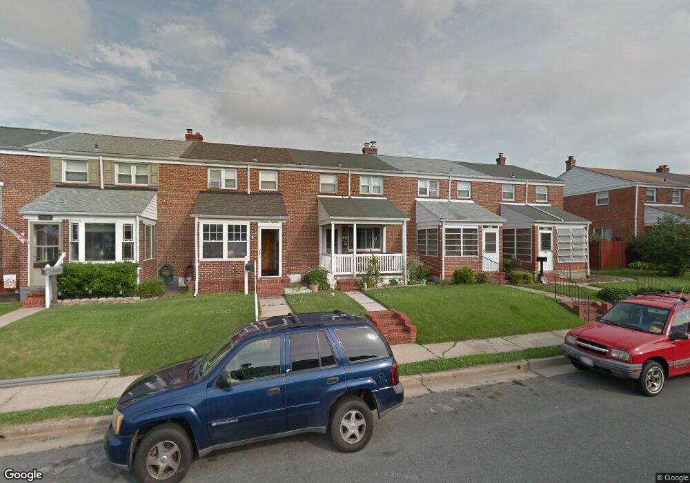
1916 Ormand Rd Dundalk, MD 21222
Estimated Value: $152,259 - $219,000
Studio
1
Bath
1,008
Sq Ft
$196/Sq Ft
Est. Value
About This Home
This home is located at 1916 Ormand Rd, Dundalk, MD 21222 and is currently estimated at $198,065, approximately $196 per square foot. 1916 Ormand Rd is a home located in Baltimore County with nearby schools including Grange Elementary School, General John Stricker Middle School, and Patapsco High & Center for Arts.
Ownership History
Date
Name
Owned For
Owner Type
Purchase Details
Closed on
Apr 27, 2004
Sold by
Travis Robin R
Bought by
Powell Robin R
Current Estimated Value
Purchase Details
Closed on
Apr 19, 2004
Sold by
Travis Robin R
Bought by
Powell Robin R
Purchase Details
Closed on
Dec 18, 1997
Sold by
Travis David A
Bought by
Travis Robin R
Create a Home Valuation Report for This Property
The Home Valuation Report is an in-depth analysis detailing your home's value as well as a comparison with similar homes in the area
Home Values in the Area
Average Home Value in this Area
Purchase History
| Date | Buyer | Sale Price | Title Company |
|---|---|---|---|
| Powell Robin R | -- | -- | |
| Powell Robin R | -- | -- | |
| Powell Robin R | -- | -- | |
| Powell Robin R | -- | -- | |
| Travis Robin R | -- | -- |
Source: Public Records
Tax History
| Year | Tax Paid | Tax Assessment Tax Assessment Total Assessment is a certain percentage of the fair market value that is determined by local assessors to be the total taxable value of land and additions on the property. | Land | Improvement |
|---|---|---|---|---|
| 2025 | $2,370 | $138,467 | -- | -- |
| 2024 | $2,370 | $129,133 | $0 | $0 |
| 2023 | $1,153 | $119,800 | $36,000 | $83,800 |
| 2022 | $2,374 | $118,333 | $0 | $0 |
| 2021 | $2,140 | $116,867 | $0 | $0 |
| 2020 | $2,140 | $115,400 | $36,000 | $79,400 |
| 2019 | $2,029 | $112,667 | $0 | $0 |
| 2018 | $1,971 | $109,933 | $0 | $0 |
| 2017 | $1,826 | $107,200 | $0 | $0 |
| 2016 | $1,689 | $107,200 | $0 | $0 |
| 2015 | $1,689 | $107,200 | $0 | $0 |
| 2014 | $1,689 | $124,000 | $0 | $0 |
Source: Public Records
Map
Nearby Homes
- 1935 Stanhope Rd
- 2782 Moorgate Rd
- 1930 Stanhope Rd
- 2811 Moorgate Rd
- 1954 Stanhope Rd
- 2012 Wareham Rd
- 1911 Sunberry Rd
- 7252 Meadow Ln
- 7807 Rockbourne Rd
- 7832 Rockbourne Rd
- 1940H Robinwood Rd
- 7111 Sollers Point Rd
- 7849 Harold Rd
- 9 Vista Mobile Dr
- 2924 Sollers Point Rd
- 7512 School Ave
- 2953 Yorkway
- 8201 Seaworthy Way
- 7449 Lawrence Rd Unit D
- 3145 Baybriar Rd
- 1914 Ormand Rd
- 1918 Ormand Rd
- 1920 Ormand Rd
- 1912 Ormand Rd
- 1910 Ormand Rd
- 1924 Ormand Rd
- 1908 Ormand Rd
- 1906 Ormand Rd
- 1926 Ormand Rd
- 1917 Wareham Rd
- 1919 Wareham Rd
- 1915 Wareham Rd
- 1921 Wareham Rd
- 1913 Wareham Rd
- 1904 Ormand Rd
- 1928 Ormand Rd
- 1923 Wareham Rd
- 1911 Wareham Rd
- 1902 Ormand Rd
- 1930 Ormand Rd
Your Personal Tour Guide
Ask me questions while you tour the home.