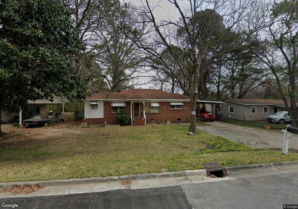
1916 Reese Rd Columbus, GA 31907
Eastern Columbus NeighborhoodEstimated Value: $68,000 - $112,000
2
Beds
2
Baths
1,008
Sq Ft
$92/Sq Ft
Est. Value
About This Home
This home is located at 1916 Reese Rd, Columbus, GA 31907 and is currently estimated at $92,535, approximately $91 per square foot. 1916 Reese Rd is a home located in Muscogee County with nearby schools including Brewer Elementary School, Richards Middle School, and Hardaway High School.
Ownership History
Date
Name
Owned For
Owner Type
Purchase Details
Closed on
Apr 28, 2020
Sold by
Church Terry
Bought by
Jakes Deborah and Jakes Shawon Ray
Current Estimated Value
Home Financials for this Owner
Home Financials are based on the most recent Mortgage that was taken out on this home.
Original Mortgage
$32,725
Outstanding Balance
$28,999
Interest Rate
3.3%
Estimated Equity
$63,536
Purchase Details
Closed on
Jun 30, 2015
Sold by
Regions Bank
Bought by
Church Terry
Purchase Details
Closed on
Dec 2, 2014
Sold by
Eastern Properties Inc
Bought by
Regions Bank
Create a Home Valuation Report for This Property
The Home Valuation Report is an in-depth analysis detailing your home's value as well as a comparison with similar homes in the area
Home Values in the Area
Average Home Value in this Area
Purchase History
| Date | Buyer | Sale Price | Title Company |
|---|---|---|---|
| Jakes Deborah | $35,000 | -- | |
| Church Terry | $34,000 | -- | |
| Regions Bank | -- | -- |
Source: Public Records
Mortgage History
| Date | Status | Borrower | Loan Amount |
|---|---|---|---|
| Open | Jakes Deborah | $32,725 |
Source: Public Records
Tax History Compared to Growth
Tax History
| Year | Tax Paid | Tax Assessment Tax Assessment Total Assessment is a certain percentage of the fair market value that is determined by local assessors to be the total taxable value of land and additions on the property. | Land | Improvement |
|---|---|---|---|---|
| 2025 | $32 | $28,420 | $9,372 | $19,048 |
| 2024 | $31 | $28,420 | $9,372 | $19,048 |
| 2023 | $32 | $28,420 | $9,372 | $19,048 |
| 2022 | $32 | $14,948 | $7,028 | $7,920 |
| 2021 | $25 | $14,000 | $4,880 | $9,120 |
| 2020 | $913 | $22,344 | $7,028 | $15,316 |
| 2019 | $915 | $22,344 | $7,028 | $15,316 |
| 2018 | $549 | $22,344 | $7,028 | $15,316 |
| 2017 | $918 | $22,344 | $7,028 | $15,316 |
| 2016 | $560 | $13,580 | $2,635 | $10,945 |
| 2015 | $169 | $10,200 | $2,635 | $7,565 |
| 2014 | -- | $16,012 | $2,635 | $13,377 |
| 2013 | -- | $16,012 | $2,635 | $13,377 |
Source: Public Records
Map
Nearby Homes
- 911 Lamore St
- 1918 Watkins Dr
- 1674 Forestside Dr
- 4418 Gardiner Dr
- 4201 Forrest Rd
- 4630 Gardiner Dr
- 1544 Celia Dr
- 1618 Forestside Dr
- 4785 Gardiner Dr
- 4 Clausen Dr
- 3875 Mulberry Dr
- 1433 Kevin Ct
- 4332 Fay Dr
- 1618 Edgechester Ave
- 4237 Fort St
- 4268 Yates Dr
- 1404 Hunt Ave
- 4248 Yates Dr
- 0 Langdon St
- 4642 Wellborn Dr
- 1940 Reese Rd
- 1922 Reese Rd
- 1910 Reese Rd
- 1933 Reese Rd
- 1928 Reese Rd
- 4312 Searcy St
- 4317 Snellings Dr
- 1921 Reese Rd
- 4330 Searcy St
- 1903 Reese Rd
- 4242 Searcy St
- 4325 Snellings Dr
- 4237 Barr St
- 4309 Searcy St
- 4303 Searcy St
- 4306 Snellings Dr
- 4312 Snellings Dr
- 4236 Barr St
- 4302 Snellings Dr
- 4315 Searcy St