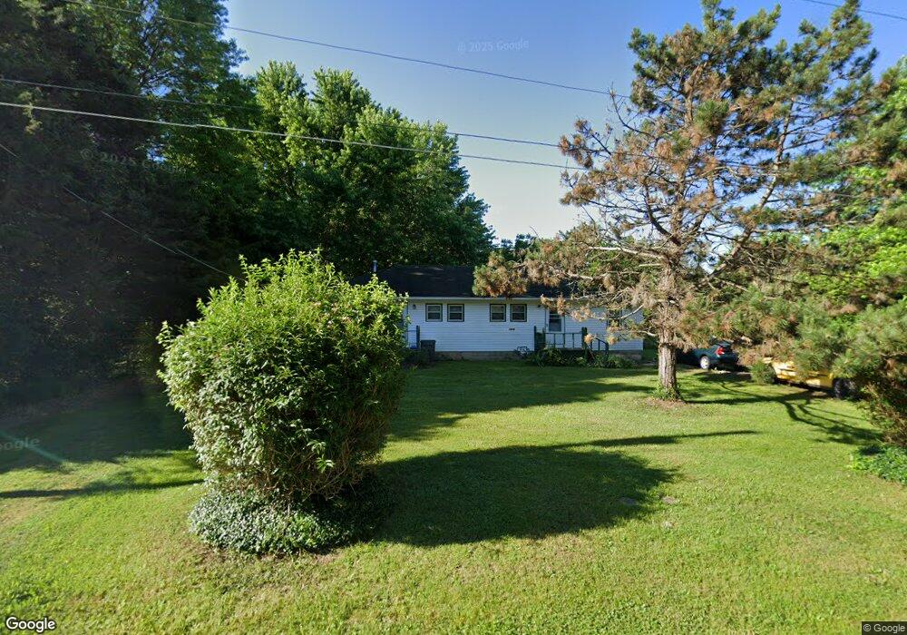
1916 W Sayer Dr Springfield, MO 65803
Estimated Value: $191,000 - $277,000
4
Beds
2
Baths
1,512
Sq Ft
$144/Sq Ft
Est. Value
About This Home
This home is located at 1916 W Sayer Dr, Springfield, MO 65803 and is currently estimated at $218,000, approximately $144 per square foot. 1916 W Sayer Dr is a home located in Greene County with nearby schools including Watkins Elementary School, Reed Academy, and Hillcrest High School.
Ownership History
Date
Name
Owned For
Owner Type
Purchase Details
Closed on
Nov 19, 2025
Sold by
Mann Jennifer Anne and Mann Timothy Eugene
Bought by
Burros Carolyn L
Current Estimated Value
Home Financials for this Owner
Home Financials are based on the most recent Mortgage that was taken out on this home.
Original Mortgage
$70,000
Outstanding Balance
$70,000
Interest Rate
6.3%
Mortgage Type
New Conventional
Estimated Equity
$148,000
Purchase Details
Closed on
Apr 24, 2012
Sold by
Farr Robert and Farr Adele K
Bought by
Burgess Dennis K
Create a Home Valuation Report for This Property
The Home Valuation Report is an in-depth analysis detailing your home's value as well as a comparison with similar homes in the area
Purchase History
| Date | Buyer | Sale Price | Title Company |
|---|---|---|---|
| Burros Carolyn L | -- | None Listed On Document | |
| Burgess Dennis K | -- | None Available |
Source: Public Records
Mortgage History
| Date | Status | Borrower | Loan Amount |
|---|---|---|---|
| Open | Burros Carolyn L | $70,000 |
Source: Public Records
Tax History
| Year | Tax Paid | Tax Assessment Tax Assessment Total Assessment is a certain percentage of the fair market value that is determined by local assessors to be the total taxable value of land and additions on the property. | Land | Improvement |
|---|---|---|---|---|
| 2025 | $891 | $17,060 | $6,650 | $10,410 |
| 2024 | $720 | $12,830 | $2,850 | $9,980 |
| 2023 | $716 | $12,830 | $2,850 | $9,980 |
| 2022 | $680 | $12,270 | $2,850 | $9,420 |
| 2021 | $680 | $12,270 | $2,850 | $9,420 |
| 2020 | $702 | $12,030 | $2,850 | $9,180 |
| 2019 | $682 | $12,030 | $2,850 | $9,180 |
| 2018 | $809 | $14,190 | $4,370 | $9,820 |
| 2017 | $801 | $13,550 | $4,370 | $9,180 |
| 2016 | $764 | $13,550 | $4,370 | $9,180 |
| 2015 | $757 | $13,550 | $4,370 | $9,180 |
| 2014 | $763 | $13,550 | $4,370 | $9,180 |
Source: Public Records
Map
Nearby Homes
- 3486 N Farm Road 143
- 1835 W Farm Road 102
- 1420 W Farm Road 102
- 000 Missouri 13
- 1.16 Acres W Norton Rd
- 2406 W Spring Water St
- 434 W Kerr St
- 2005 W Melville Rd
- 2488 W Farm Road 112
- 1122 W Vancouver St
- 2499 W Cedar Creek Dr
- 3879 N Williams Ct
- 2453 N Albertha Ave
- 1141 W Talmage St
- 2812 W North St
- 919 W Woodridge St
- 1632 N Grant Ave
- 2544 N Johnston Ave
- 3714 N Mount Zion Ct
- 2515 N West Ave
- 1930 W Sayer Dr
- 1906 W Sayer Dr
- 1909 W Smith St
- 2006 W Sayer Dr
- 1917 W Smith St
- 1929 W Sayer Dr
- 1833 W Smith St
- 2005 W Sayer Dr
- 1928 W Smith St
- 3155 N Oakland Ave
- 3156 N Oakland Ave
- 1821 W Smith St
- 3301 N Farm Road 139
- 2015 W Sayer Dr
- 3143 N Oakland Ave
- 1832 W Smith St
- 3144 N Oakland Ave
- 1911 W McClernon St
- 1807 W Smith St
- 3140 N Oakland Ave
Your Personal Tour Guide
Ask me questions while you tour the home.