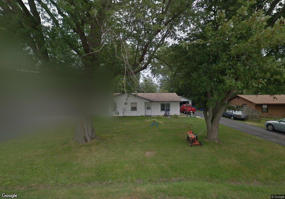
19160 Airport Rd Unit 1 Romeoville, IL 60446
Lewis University NeighborhoodEstimated Value: $196,861 - $268,000
--
Bed
--
Bath
--
Sq Ft
9,583
Sq Ft Lot
About This Home
This home is located at 19160 Airport Rd Unit 1, Romeoville, IL 60446 and is currently estimated at $229,965. 19160 Airport Rd Unit 1 is a home located in Will County with nearby schools including Irene King Elementary School, A. Vito Martinez Middle School, and Romeoville High School.
Ownership History
Date
Name
Owned For
Owner Type
Purchase Details
Closed on
Sep 9, 2022
Sold by
Campbell Harley R and Campbell Deborah K
Bought by
Campbell Harley R and Campbell Deborah K
Current Estimated Value
Home Financials for this Owner
Home Financials are based on the most recent Mortgage that was taken out on this home.
Original Mortgage
$86,700
Outstanding Balance
$83,232
Interest Rate
5.88%
Mortgage Type
New Conventional
Estimated Equity
$146,733
Purchase Details
Closed on
Dec 4, 1995
Sold by
Campbell Harley R and Campbell Jacque M
Bought by
Campbell Harley R and Campbell Deborah K
Home Financials for this Owner
Home Financials are based on the most recent Mortgage that was taken out on this home.
Original Mortgage
$60,000
Interest Rate
7.43%
Create a Home Valuation Report for This Property
The Home Valuation Report is an in-depth analysis detailing your home's value as well as a comparison with similar homes in the area
Home Values in the Area
Average Home Value in this Area
Purchase History
| Date | Buyer | Sale Price | Title Company |
|---|---|---|---|
| Campbell Harley R | -- | None Listed On Document | |
| Campbell Harley R | $60,000 | -- |
Source: Public Records
Mortgage History
| Date | Status | Borrower | Loan Amount |
|---|---|---|---|
| Open | Campbell Harley R | $86,700 | |
| Previous Owner | Campbell Harley R | $60,000 |
Source: Public Records
Tax History Compared to Growth
Tax History
| Year | Tax Paid | Tax Assessment Tax Assessment Total Assessment is a certain percentage of the fair market value that is determined by local assessors to be the total taxable value of land and additions on the property. | Land | Improvement |
|---|---|---|---|---|
| 2024 | $5,665 | $61,104 | $18,935 | $42,169 |
| 2023 | $5,665 | $54,856 | $16,999 | $37,857 |
| 2022 | $5,083 | $51,169 | $15,856 | $35,313 |
| 2021 | $4,872 | $48,087 | $14,901 | $33,186 |
| 2020 | $4,756 | $46,506 | $14,411 | $32,095 |
| 2019 | $4,528 | $44,082 | $13,660 | $30,422 |
| 2018 | $4,530 | $43,502 | $12,881 | $30,621 |
| 2017 | $4,203 | $40,262 | $11,922 | $28,340 |
| 2016 | $3,364 | $37,733 | $11,173 | $26,560 |
| 2015 | $3,209 | $35,902 | $10,631 | $25,271 |
| 2014 | $3,209 | $34,856 | $10,321 | $24,535 |
| 2013 | $3,209 | $39,609 | $11,728 | $27,881 |
Source: Public Records
Map
Nearby Homes
- 15035 Hartman Dr
- 1.4 Acres S Archer Ave
- 1600 Fairmount
- Lot 24 W Windemere Cir
- Lot 13 W Windemere Cir
- 17439 W Windemere Cir
- 17529 W Windemere Cir
- 242 Tallman Ave
- 204 Healy Ave
- 221 Murphy Dr
- 408 Haller Ave
- 729 Vine St
- 4 Larsen Cir
- 923 E Savannah Dr Unit 2
- Lot 2 Governors Hwy
- 0 N Weber Rd Unit MRD12364369
- 939 E Savannah Dr
- 120 N State St
- 118 N State St
- 119 Franklin St
- 19202 Airport Rd
- 19150 Airport Rd
- 19157 Jacquie Ave
- 19205 Jacquie Ave
- 19151 Jacquie Ave
- 19212 Airport Rd
- 19140 Airport Rd
- 19213 Jacquie Ave
- 19141 Jacquie Ave
- 19220 Airport Rd
- 19220 Airport Rd
- 19217 Jacquie Ave
- 19132 Airport Rd
- 19133 Jacquie Ave
- 19228 Airport Rd
- 19158 Jacquie Ave
- 19154 Jacquie Ave
- 19204 Jacquie Ave
- 19227 Jacquie Ave
- 19124 Airport Rd