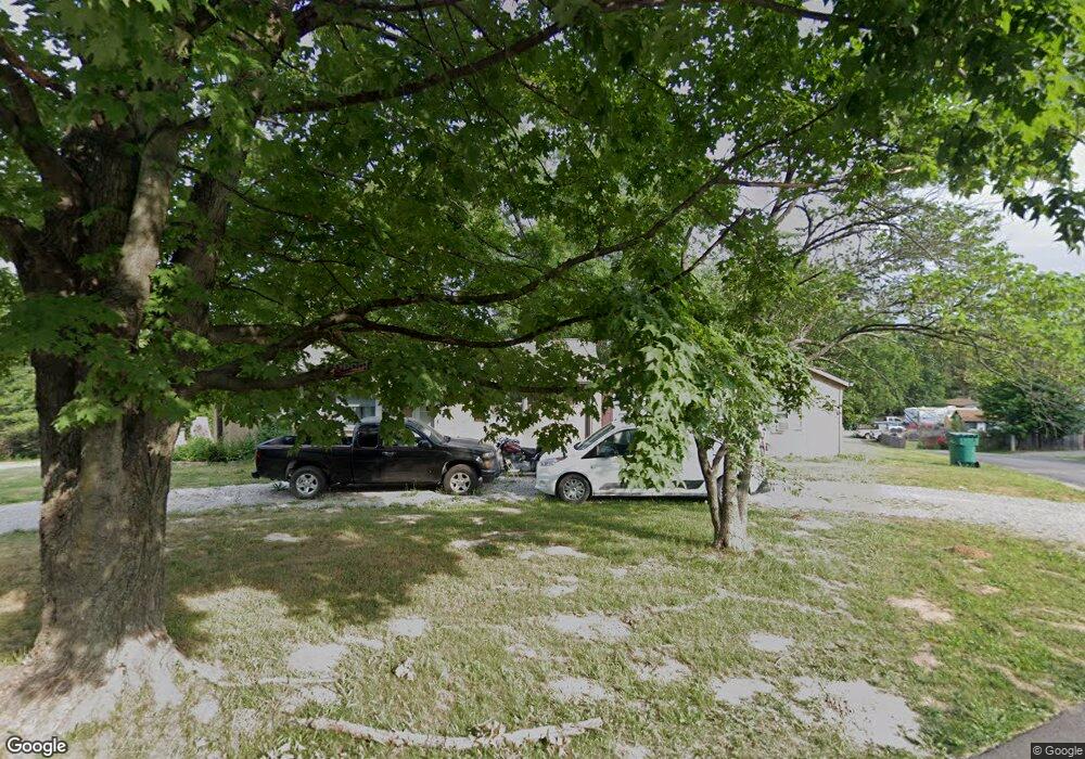
1917 Atkinson Rd High Ridge, MO 63049
Estimated Value: $144,000 - $192,832
3
Beds
2
Baths
820
Sq Ft
$211/Sq Ft
Est. Value
About This Home
This home is located at 1917 Atkinson Rd, High Ridge, MO 63049 and is currently estimated at $173,208, approximately $211 per square foot. 1917 Atkinson Rd is a home located in Jefferson County with nearby schools including Northwest High School, Messenger Christian School, and St. Anthony School.
Ownership History
Date
Name
Owned For
Owner Type
Purchase Details
Closed on
Apr 1, 2021
Sold by
John Balir Llc
Bought by
Wenk Jill M and Wenk Theodore
Current Estimated Value
Home Financials for this Owner
Home Financials are based on the most recent Mortgage that was taken out on this home.
Original Mortgage
$100,000
Outstanding Balance
$90,879
Interest Rate
2.8%
Mortgage Type
New Conventional
Estimated Equity
$82,329
Purchase Details
Closed on
May 18, 2009
Sold by
Fannie Mae
Bought by
John Blair Llc
Purchase Details
Closed on
Oct 24, 2008
Sold by
Loon Justin and Stuart Travis R
Bought by
Federal National Mortgage Association
Purchase Details
Closed on
Apr 5, 2006
Sold by
Bunton James F and Bunton Barbara J
Bought by
Kisner Michael D and Kisner Sara J
Create a Home Valuation Report for This Property
The Home Valuation Report is an in-depth analysis detailing your home's value as well as a comparison with similar homes in the area
Home Values in the Area
Average Home Value in this Area
Purchase History
| Date | Buyer | Sale Price | Title Company |
|---|---|---|---|
| Wenk Jill M | -- | None Available | |
| John Blair Llc | -- | Htc | |
| Federal National Mortgage Association | $116,484 | None Available | |
| Kisner Michael D | -- | Htc |
Source: Public Records
Mortgage History
| Date | Status | Borrower | Loan Amount |
|---|---|---|---|
| Open | Wenk Jill M | $100,000 |
Source: Public Records
Tax History
| Year | Tax Paid | Tax Assessment Tax Assessment Total Assessment is a certain percentage of the fair market value that is determined by local assessors to be the total taxable value of land and additions on the property. | Land | Improvement |
|---|---|---|---|---|
| 2025 | $989 | $14,700 | $2,300 | $12,400 |
| 2024 | $989 | $13,700 | $2,300 | $11,400 |
| 2023 | $989 | $13,700 | $2,300 | $11,400 |
| 2022 | $985 | $13,700 | $2,300 | $11,400 |
| 2021 | $979 | $13,700 | $2,300 | $11,400 |
| 2020 | $878 | $12,000 | $1,900 | $10,100 |
| 2019 | $877 | $12,000 | $1,900 | $10,100 |
| 2018 | $0 | $12,000 | $1,900 | $10,100 |
| 2017 | $812 | $12,000 | $1,900 | $10,100 |
| 2016 | $724 | $10,600 | $1,900 | $8,700 |
| 2015 | $743 | $10,600 | $1,900 | $8,700 |
| 2013 | -- | $10,100 | $1,900 | $8,200 |
Source: Public Records
Map
Nearby Homes
- 4616 Greenore Dr
- 1516 Cassie Ct
- 4824 E Golden Cir
- 1636 S Golden Cir
- 1705 Little Brennan Rd
- 0 Mikel Ln
- 1418 Twin Trails Dr
- 1007 San Luis Dr
- 2108 Hillsboro Valley Park Rd
- 1275 Diamond Valley Dr
- 108 E Lark Dr
- 208 Major Dr
- 1308 Birch Meadow Dr
- 1226 Kings Trail Ln
- 4118 Harbor Towne Dr
- 600 Gerries Way
- 1185 Scheel Ln
- 159 Brandy Mill Cir Unit B
- 1102 Mosswoods Ct
- 151 Brandy Mill Cir Unit F
- 1913 Atkinson Rd
- 1912 Jo Ann Dr
- 1925 Atkinson Rd
- 1909 Jo Ann Dr
- 1920 Atkinson Rd
- 1908 Atkinson Rd
- 1912 Atkinson Rd
- 1927 Atkinson Rd
- 1904 Atkinson Rd
- 1904 Jo Ann Dr
- 1924 Atkinson Rd
- 1905 Jo Ann Dr
- 1900 Jo Ann Dr
- 4619 Brennan Rd
- 4617 Brennan Rd
- 4625 Brennan Rd
- 4625 Brennan Rd
- 1801 Jessie Cir
- 4645 Brennan Rd
- 4641 Brennan Rd
Your Personal Tour Guide
Ask me questions while you tour the home.