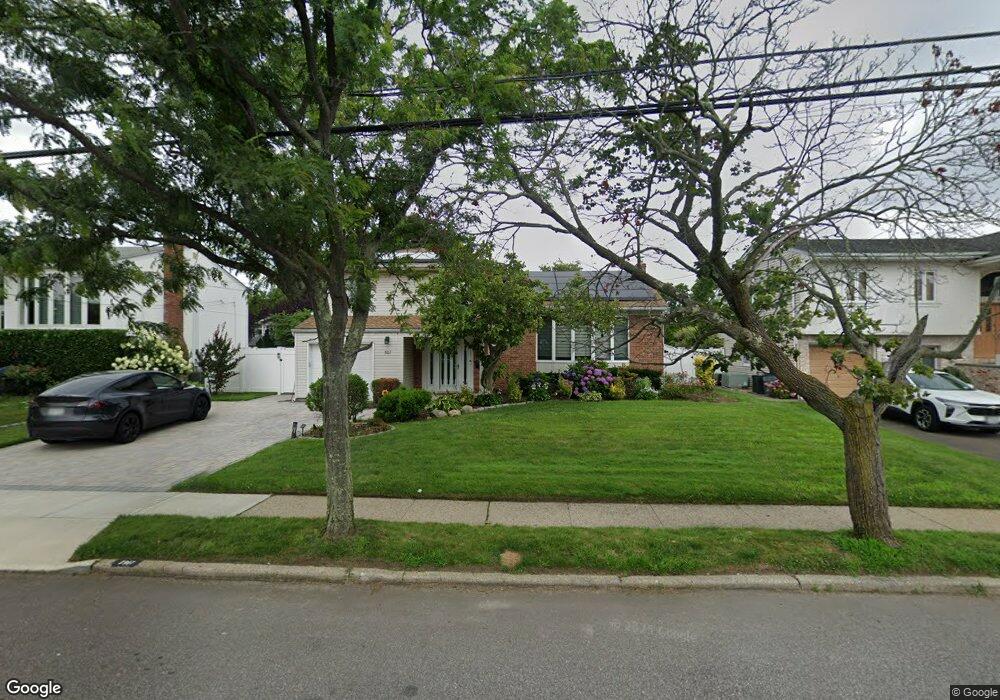
1917 Edward Ln Merrick, NY 11566
Estimated Value: $766,000 - $810,214
3
Beds
3
Baths
2,027
Sq Ft
$389/Sq Ft
Est. Value
About This Home
This home is located at 1917 Edward Ln, Merrick, NY 11566 and is currently estimated at $788,107, approximately $388 per square foot. 1917 Edward Ln is a home located in Nassau County with nearby schools including Burcham Elementary School, Merrick Avenue Middle School, and John F. Kennedy High School.
Ownership History
Date
Name
Owned For
Owner Type
Purchase Details
Closed on
Apr 12, 2022
Sold by
Sable Ellen and Sable David
Bought by
Mei Donger
Current Estimated Value
Home Financials for this Owner
Home Financials are based on the most recent Mortgage that was taken out on this home.
Original Mortgage
$400,000
Outstanding Balance
$370,795
Interest Rate
3.25%
Mortgage Type
New Conventional
Estimated Equity
$417,312
Create a Home Valuation Report for This Property
The Home Valuation Report is an in-depth analysis detailing your home's value as well as a comparison with similar homes in the area
Home Values in the Area
Average Home Value in this Area
Purchase History
| Date | Buyer | Sale Price | Title Company |
|---|---|---|---|
| Mei Donger | $595,000 | Commonwealth Land Ttl Ins Co | |
| Mei Donger | $595,000 | Commonwealth Land Ttl Ins Co | |
| Mei Donger | $595,000 | Commonwealth Land Ttl Ins Co |
Source: Public Records
Mortgage History
| Date | Status | Borrower | Loan Amount |
|---|---|---|---|
| Open | Mei Donger | $400,000 | |
| Closed | Mei Donger | $400,000 |
Source: Public Records
Tax History Compared to Growth
Tax History
| Year | Tax Paid | Tax Assessment Tax Assessment Total Assessment is a certain percentage of the fair market value that is determined by local assessors to be the total taxable value of land and additions on the property. | Land | Improvement |
|---|---|---|---|---|
| 2025 | $15,299 | $504 | $279 | $225 |
| 2024 | $3,391 | $476 | $224 | $252 |
| 2023 | $17,080 | $592 | $279 | $313 |
| 2022 | $17,080 | $592 | $279 | $313 |
| 2021 | $16,037 | $569 | $268 | $301 |
| 2020 | $19,251 | $992 | $799 | $193 |
| 2019 | $4,346 | $992 | $799 | $193 |
| 2018 | $4,135 | $992 | $0 | $0 |
| 2017 | $9,643 | $992 | $755 | $237 |
| 2016 | $13,635 | $1,050 | $693 | $357 |
| 2015 | $4,122 | $1,109 | $732 | $377 |
| 2014 | $4,122 | $1,109 | $732 | $377 |
| 2013 | $4,260 | $1,211 | $799 | $412 |
Source: Public Records
Map
Nearby Homes
- 1911 Edward Ln
- 1923 Edward Ln
- 1928 Leonard Ln
- 1922 Leonard Ln
- 1934 Leonard Ln
- 1905 Edward Ln
- 1929 Edward Ln
- 1916 Edward Ln
- 1910 Edward Ln
- 1916 Leonard Ln
- 1940 Leonard Ln
- 1922 Edward Ln
- 1902 Edward Ln
- 1899 Edward Ln
- 1935 Edward Ln
- 1928 Edward Ln
- 1896 Edward Ln
- 1908 Leonard Ln
- 1948 Leonard Ln
- 1893 Edward Ln