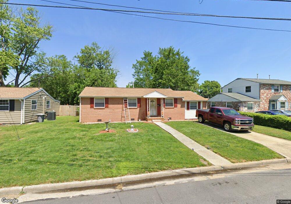
1917 Hart Cir Hampton, VA 23663
Buckroe Beach NeighborhoodEstimated Value: $245,000 - $290,000
3
Beds
1
Bath
1,530
Sq Ft
$171/Sq Ft
Est. Value
About This Home
This home is located at 1917 Hart Cir, Hampton, VA 23663 and is currently estimated at $261,784, approximately $171 per square foot. 1917 Hart Cir is a home located in Hampton City with nearby schools including Benjamin Syms Middle School, Kecoughtan High School, and Gloria Dei Lutheran School.
Ownership History
Date
Name
Owned For
Owner Type
Purchase Details
Closed on
Oct 6, 1999
Sold by
Epps Vernon S
Bought by
Crawley Dent Adriene R
Current Estimated Value
Home Financials for this Owner
Home Financials are based on the most recent Mortgage that was taken out on this home.
Original Mortgage
$78,850
Outstanding Balance
$23,772
Interest Rate
7.81%
Estimated Equity
$238,012
Create a Home Valuation Report for This Property
The Home Valuation Report is an in-depth analysis detailing your home's value as well as a comparison with similar homes in the area
Home Values in the Area
Average Home Value in this Area
Purchase History
| Date | Buyer | Sale Price | Title Company |
|---|---|---|---|
| Crawley Dent Adriene R | $78,850 | -- |
Source: Public Records
Mortgage History
| Date | Status | Borrower | Loan Amount |
|---|---|---|---|
| Open | Crawley Dent Adriene R | $78,850 |
Source: Public Records
Tax History
| Year | Tax Paid | Tax Assessment Tax Assessment Total Assessment is a certain percentage of the fair market value that is determined by local assessors to be the total taxable value of land and additions on the property. | Land | Improvement |
|---|---|---|---|---|
| 2025 | $2,722 | $235,200 | $55,000 | $180,200 |
| 2024 | $2,319 | $214,500 | $55,000 | $159,500 |
| 2023 | $2,319 | $187,700 | $55,000 | $132,700 |
| 2022 | $1,977 | $167,500 | $50,000 | $117,500 |
| 2021 | $1,918 | $144,200 | $42,000 | $102,200 |
| 2020 | $1,686 | $136,000 | $38,300 | $97,700 |
| 2019 | $1,641 | $132,300 | $38,300 | $94,000 |
| 2018 | $1,746 | $133,200 | $38,300 | $94,900 |
| 2017 | $1,746 | $0 | $0 | $0 |
| 2016 | $1,746 | $133,200 | $0 | $0 |
| 2015 | $1,746 | $0 | $0 | $0 |
| 2014 | $2,000 | $133,200 | $38,300 | $94,900 |
Source: Public Records
Map
Nearby Homes
- 234 Loch Cir
- 219 Loch Cir
- 1515 Garrow Cir
- 21 Loch Cir
- 76 Glascow Way
- 2007 Egger Cir
- 2004 Winfree Rd
- 508 Timberneck Ct
- 506 Carters Grove Ct
- 20 Aster Way
- 1918 Nickerson Blvd
- 417 Woodland Rd
- 1904 Nickerson Blvd
- 22 Camellia Ln
- 1810 Beall Dr
- 3 Travis Cir
- 350 Wrexham Ct
- 1923 Rawood Dr
- 3 Kansas Ct
- 1814 Somerville Dr
Your Personal Tour Guide
Ask me questions while you tour the home.