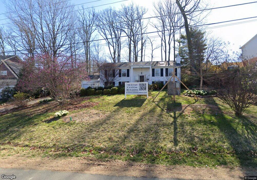
1917 Kenbar Ct McLean, VA 22101
Estimated Value: $1,378,000 - $1,535,897
4
Beds
3
Baths
2
Sq Ft
$735,237/Sq Ft
Est. Value
About This Home
This home is located at 1917 Kenbar Ct, McLean, VA 22101 and is currently estimated at $1,470,474, approximately $735,237 per square foot. 1917 Kenbar Ct is a home located in Fairfax County with nearby schools including Chesterbrook Elementary School, Longfellow Middle School, and McLean High School.
Ownership History
Date
Name
Owned For
Owner Type
Purchase Details
Closed on
Jan 16, 2024
Sold by
Greenwald G Jonathan G and Greenwald Gabriele K
Bought by
1917 Kenbar Llc
Current Estimated Value
Home Financials for this Owner
Home Financials are based on the most recent Mortgage that was taken out on this home.
Original Mortgage
$975,000
Outstanding Balance
$958,194
Interest Rate
7.03%
Mortgage Type
Credit Line Revolving
Estimated Equity
$512,280
Purchase Details
Closed on
Jul 16, 1979
Bought by
And Greenwald G and And Gabriele K
Create a Home Valuation Report for This Property
The Home Valuation Report is an in-depth analysis detailing your home's value as well as a comparison with similar homes in the area
Home Values in the Area
Average Home Value in this Area
Purchase History
| Date | Buyer | Sale Price | Title Company |
|---|---|---|---|
| 1917 Kenbar Llc | $1,300,000 | First American Title | |
| 1917 Kenbar Llc | $1,300,000 | First American Title | |
| And Greenwald G | $137,500 | -- |
Source: Public Records
Mortgage History
| Date | Status | Borrower | Loan Amount |
|---|---|---|---|
| Open | 1917 Kenbar Llc | $975,000 | |
| Closed | 1917 Kenbar Llc | $975,000 |
Source: Public Records
Tax History Compared to Growth
Tax History
| Year | Tax Paid | Tax Assessment Tax Assessment Total Assessment is a certain percentage of the fair market value that is determined by local assessors to be the total taxable value of land and additions on the property. | Land | Improvement |
|---|---|---|---|---|
| 2025 | $14,604 | $835,940 | $605,000 | $230,940 |
| 2024 | $14,604 | $1,189,060 | $603,000 | $586,060 |
| 2023 | $13,917 | $1,166,060 | $580,000 | $586,060 |
| 2022 | $13,953 | $1,155,430 | $569,000 | $586,430 |
| 2021 | $13,972 | $1,134,320 | $564,000 | $570,320 |
| 2020 | $13,811 | $1,114,020 | $564,000 | $550,020 |
| 2019 | $11,923 | $956,360 | $470,000 | $486,360 |
| 2018 | $10,835 | $942,190 | $470,000 | $472,190 |
| 2017 | $11,501 | $942,190 | $470,000 | $472,190 |
| 2016 | $11,368 | $932,930 | $470,000 | $462,930 |
| 2015 | $10,658 | $905,450 | $456,000 | $449,450 |
| 2014 | $10,186 | $865,920 | $443,000 | $422,920 |
Source: Public Records
Map
Nearby Homes
- 1914 Birch Rd
- 1931 Powhatan St
- 1880 Virginia Ave
- 6511 Ivy Hill Dr
- 2037 Freedom Ln
- 2107 Elliott Ave
- 6434 Noble Dr
- 1918 Valleywood Rd
- 2115 Natahoa Ct
- 1853 Massachusetts Ave
- 3623 N Rockingham St
- 2123 Natahoa Ct
- 1904 Lamson Place
- 6514 Byrnes Dr
- 2136 Powhatan St
- 6614 Midhill Place
- 1730 Barbee St
- 6100 35th St N
- 1830 Massachusetts Ave
- 3403 John Marshall Dr
- 1915 Kenbar Ct
- 1919 Kenbar Ct
- 1926 Franklin Ave
- 1928 Franklin Ave
- 1916 Kenbar Ct
- 1930 Franklin Ave
- 1921 Kenbar Ct
- 1913 Kenbar Ct
- 1920 Kenbar Ct
- 1922 Franklin Ave
- 1950 Massachusetts Ave
- 1914 Kenbar Ct
- 1932 Franklin Ave
- 1920 Franklin Ave
- 1922 Kenbar Ct
- 1911 Kenbar Ct
- 1923 Kenbar Ct
- 1934 Franklin Ave
- 1927 Franklin Ave
- 1980 Massachusetts Ave