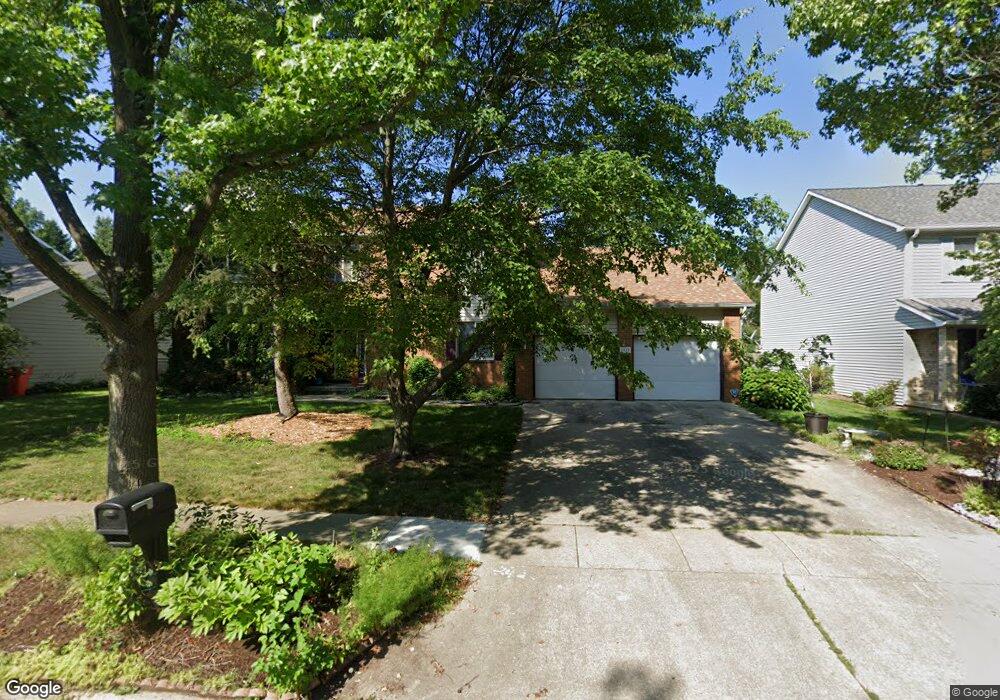
1917 Maynard Dr Champaign, IL 61822
Estimated Value: $382,000 - $432,000
--
Bed
--
Bath
--
Sq Ft
0.26
Acres
About This Home
This home is located at 1917 Maynard Dr, Champaign, IL 61822 and is currently estimated at $403,925. 1917 Maynard Dr is a home located in Champaign County with nearby schools including Centennial High School, Countryside School, and Swann Special Care Center-Elem/Secondary School.
Ownership History
Date
Name
Owned For
Owner Type
Purchase Details
Closed on
Jan 12, 2012
Sold by
Rashid Salim and Rashid Zeenet
Bought by
Jawad Muhanad S and Shawkat Juman A
Current Estimated Value
Home Financials for this Owner
Home Financials are based on the most recent Mortgage that was taken out on this home.
Original Mortgage
$198,000
Outstanding Balance
$135,678
Interest Rate
3.97%
Mortgage Type
New Conventional
Estimated Equity
$268,247
Create a Home Valuation Report for This Property
The Home Valuation Report is an in-depth analysis detailing your home's value as well as a comparison with similar homes in the area
Home Values in the Area
Average Home Value in this Area
Purchase History
| Date | Buyer | Sale Price | Title Company |
|---|---|---|---|
| Jawad Muhanad S | $225,000 | None Available |
Source: Public Records
Mortgage History
| Date | Status | Borrower | Loan Amount |
|---|---|---|---|
| Open | Jawad Muhanad S | $198,000 |
Source: Public Records
Tax History Compared to Growth
Tax History
| Year | Tax Paid | Tax Assessment Tax Assessment Total Assessment is a certain percentage of the fair market value that is determined by local assessors to be the total taxable value of land and additions on the property. | Land | Improvement |
|---|---|---|---|---|
| 2024 | $5,996 | $94,820 | $18,510 | $76,310 |
| 2023 | $5,996 | $87,550 | $17,090 | $70,460 |
| 2022 | $5,713 | $81,670 | $15,940 | $65,730 |
| 2021 | $5,489 | $80,230 | $15,660 | $64,570 |
| 2020 | $5,442 | $79,430 | $15,500 | $63,930 |
| 2019 | $5,264 | $78,100 | $15,240 | $62,860 |
| 2018 | $5,100 | $75,930 | $15,240 | $60,690 |
| 2017 | $4,881 | $72,790 | $15,240 | $57,550 |
| 2016 | $4,369 | $72,790 | $15,240 | $57,550 |
| 2015 | $4,492 | $72,790 | $15,240 | $57,550 |
| 2014 | $4,461 | $72,790 | $15,240 | $57,550 |
| 2013 | $4,386 | $72,790 | $15,240 | $57,550 |
Source: Public Records
Map
Nearby Homes
- 3510 S Duncan Rd
- 4002 Lakepoint Rd
- 1806 Bentbrook Dr
- 4005 Pinecrest Dr
- 1818 Tahoe Ct
- 7 Briar Hill Cir Unit G
- 2006 S Staley Rd
- 2205 Edgewater Place
- 2424 Prairie Ridge Place
- 2605 Trafalgar Square
- 1309 Maplepark Dr
- 2401 Lakewood Dr
- 2612 W Kirby Ave
- 4304 Creston Dr
- 2808 Carrelton Dr
- 4406 Crossgate Dr
- 2801 Valleybrook Dr
- 4309 Stonebridge Ct
- 1012 Waters Edge Rd
- 1402 Scottsdale Dr
- 1921 Maynard Dr
- 1913 Maynard Dr
- 1914 Oak Park Dr
- 1916 Oak Park Dr
- 1925 Maynard Dr
- 1909 Maynard Dr
- 1918 Maynard Dr
- 1910 Oak Park Dr
- 1914 Maynard Dr
- 1918 Oak Park Dr
- 1922 Maynard Dr
- 1908 Oak Park Dr
- 1926 Maynard Dr
- 1920 Oak Park Dr
- 1913 Oak Park Dr
- 1915 Oak Park Dr
- 1911 Oak Park Dr
- 1909 Oak Park Dr
- 1907 Oak Park Dr
- 1906 Oak Park Dr