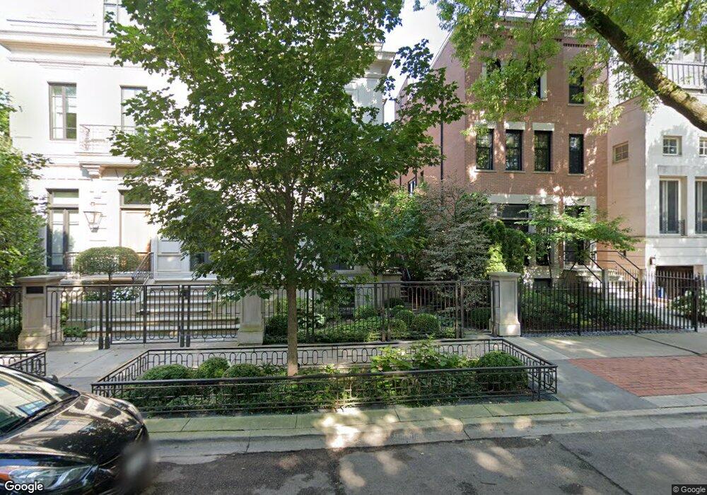
1917 N Howe St Unit 1919 Chicago, IL 60614
Old Town NeighborhoodEstimated Value: $5,738,480 - $6,460,000
7
Beds
10
Baths
10,000
Sq Ft
$611/Sq Ft
Est. Value
About This Home
This home is located at 1917 N Howe St Unit 1919, Chicago, IL 60614 and is currently estimated at $6,107,493, approximately $610 per square foot. 1917 N Howe St Unit 1919 is a home located in Cook County with nearby schools including Abraham Lincoln Elementary School, Lincoln Park High School, and St. James Lutheran School.
Ownership History
Date
Name
Owned For
Owner Type
Purchase Details
Closed on
Dec 16, 2020
Sold by
Sterling Wieltam J and Sterling Sandra P
Bought by
Chicago Title Land Trust Company and Trust Number 8002378223
Current Estimated Value
Home Financials for this Owner
Home Financials are based on the most recent Mortgage that was taken out on this home.
Original Mortgage
$7,735,000
Interest Rate
2.25%
Mortgage Type
New Conventional
Purchase Details
Closed on
Mar 14, 2013
Sold by
Growcor Llc 1917 19 N Howe
Bought by
Sterling William J and Sterling Sandra P
Purchase Details
Closed on
Sep 26, 2007
Sold by
Chicago Title Land Trust Co
Bought by
Growcor Llc 1917 & 19 N Howe
Home Financials for this Owner
Home Financials are based on the most recent Mortgage that was taken out on this home.
Original Mortgage
$2,660,000
Interest Rate
6.87%
Mortgage Type
Unknown
Create a Home Valuation Report for This Property
The Home Valuation Report is an in-depth analysis detailing your home's value as well as a comparison with similar homes in the area
Home Values in the Area
Average Home Value in this Area
Purchase History
| Date | Buyer | Sale Price | Title Company |
|---|---|---|---|
| Chicago Title Land Trust Company | $11,900,000 | Chicago Title | |
| Sterling William J | $3,950,000 | Chicago Title Insurance Comp | |
| Growcor Llc 1917 & 19 N Howe | $3,800,000 | Chicago Title Land Trust Co |
Source: Public Records
Mortgage History
| Date | Status | Borrower | Loan Amount |
|---|---|---|---|
| Previous Owner | Chicago Title Land Trust Company | $7,735,000 | |
| Previous Owner | Growcor Llc 1917 & 19 N Howe | $2,660,000 |
Source: Public Records
Tax History Compared to Growth
Tax History
| Year | Tax Paid | Tax Assessment Tax Assessment Total Assessment is a certain percentage of the fair market value that is determined by local assessors to be the total taxable value of land and additions on the property. | Land | Improvement |
|---|---|---|---|---|
| 2024 | $71,877 | $284,878 | $51,150 | $233,728 |
| 2023 | $70,058 | $342,324 | $41,250 | $301,074 |
| 2022 | $70,058 | $342,324 | $41,250 | $301,074 |
| 2021 | $68,838 | $342,323 | $41,250 | $301,073 |
| 2020 | $73,853 | $331,524 | $36,300 | $295,224 |
| 2019 | $72,479 | $360,747 | $36,300 | $324,447 |
| 2018 | $71,260 | $360,747 | $36,300 | $324,447 |
| 2017 | $80,127 | $372,216 | $29,700 | $342,516 |
| 2016 | $91,227 | $455,478 | $29,700 | $425,778 |
| 2015 | $83,464 | $455,478 | $29,700 | $425,778 |
| 2014 | $23,081 | $124,400 | $23,100 | $101,300 |
| 2013 | $7,855 | $43,191 | $23,100 | $20,091 |
Source: Public Records
Map
Nearby Homes
- 1849 N Mohawk St Unit 2
- 1878 N Orchard St
- 545 W Dickens Ave
- 2054 N Mohawk St
- 1865 N Burling St
- 1853 N Burling St
- 1733 N Larrabee St
- 1848 N Hudson Ave Unit G
- 505 W Menomonee St
- 2045 N Larrabee St Unit 7106
- 1733 N Mohawk St Unit 3N
- 1964 N Burling St
- 1913 N Halsted St Unit 1
- 1720 N Mohawk St
- 1865 N Halsted St Unit 1S
- 1715 N Larrabee St Unit 1S
- 1955 N Halsted St Unit 1
- 1851 N Halsted St Unit 2
- 1926 N Halsted St
- 515 W Dickens Ave
- 1915 N Howe St
- 1919 N Howe St
- 1937 N Howe St
- 1923 N Howe St
- 1923 N Howe St
- 1913 N Howe St
- 1909 N Howe St
- 1925 N Howe St
- 1905 N Howe St
- 1905 N Howe St
- 1900 N Larrabee St Unit 1860
- 1872 N Larrabee St Unit 1872
- 1900 N Larrabee St Unit 1900
- 1900 N Larrabee St Unit 1908
- 1878 N Larrabee St Unit 1878
- 1900 N Larrabee St Unit 1876
- 1868 N Larrabee St Unit 1868
- 1900 N Larrabee St
- 1929 N Howe St Unit 19293E
- 1929 N Howe St Unit 19292W