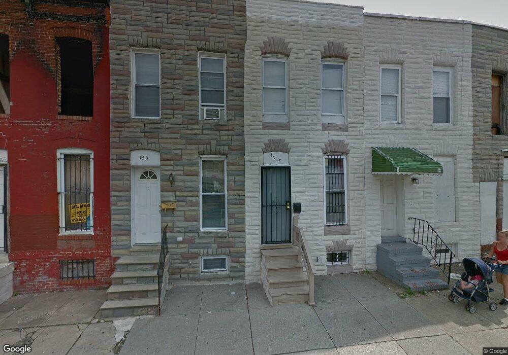
1917 Ramsay St Baltimore, MD 21223
Mount Clare NeighborhoodEstimated Value: $32,024 - $80,000
Studio
--
Bath
--
Sq Ft
1,089
Sq Ft Lot
About This Home
This home is located at 1917 Ramsay St, Baltimore, MD 21223 and is currently estimated at $56,012. 1917 Ramsay St is a home located in Baltimore City with nearby schools including Booker T. Washington Middle School, Digital Harbor High School, and Frederick Douglass High School.
Ownership History
Date
Name
Owned For
Owner Type
Purchase Details
Closed on
Apr 7, 2023
Sold by
Amos Pierre
Bought by
Zatak Investments Llc
Current Estimated Value
Purchase Details
Closed on
Jun 29, 2004
Sold by
Gresham James G
Bought by
Pierre Amos
Purchase Details
Closed on
Jul 3, 2001
Sold by
Lp Llc
Bought by
Gresham James G and Gresham Betty A
Purchase Details
Closed on
May 16, 2001
Sold by
Brooks Stoney Lee
Bought by
Manufactures Traders and Trust Company
Purchase Details
Closed on
Jan 13, 1997
Sold by
Pil Inc
Bought by
Brooks Stoney Lee
Purchase Details
Closed on
Sep 9, 1996
Sold by
Intercoastal Investment
Bought by
Pil Inc
Create a Home Valuation Report for This Property
The Home Valuation Report is an in-depth analysis detailing your home's value as well as a comparison with similar homes in the area
Home Values in the Area
Average Home Value in this Area
Purchase History
| Date | Buyer | Sale Price | Title Company |
|---|---|---|---|
| Zatak Investments Llc | $30,000 | Old Republic National Title In | |
| Zatak Investments Llc | $30,000 | Old Republic National Title In | |
| Pierre Amos | $9,500 | -- | |
| Gresham James G | $6,000 | -- | |
| Lp Llc | $3,200 | -- | |
| Manufactures Traders | $7,000 | -- | |
| Brooks Stoney Lee | $29,400 | -- | |
| Pil Inc | -- | -- | |
| Intercoastal Investment | $2,200 | -- |
Source: Public Records
Tax History
| Year | Tax Paid | Tax Assessment Tax Assessment Total Assessment is a certain percentage of the fair market value that is determined by local assessors to be the total taxable value of land and additions on the property. | Land | Improvement |
|---|---|---|---|---|
| 2025 | $925 | $44,733 | -- | -- |
| 2024 | $925 | $39,367 | -- | -- |
| 2023 | $799 | $34,000 | $7,000 | $27,000 |
| 2022 | $732 | $31,000 | $0 | $0 |
| 2021 | $661 | $28,000 | $0 | $0 |
| 2020 | $590 | $25,000 | $5,000 | $20,000 |
| 2019 | $587 | $25,000 | $5,000 | $20,000 |
| 2018 | $590 | $25,000 | $5,000 | $20,000 |
| 2017 | $708 | $30,000 | $0 | $0 |
| 2016 | $355 | $25,000 | $0 | $0 |
| 2015 | $355 | $20,000 | $0 | $0 |
| 2014 | $355 | $15,000 | $0 | $0 |
Source: Public Records
Map
Nearby Homes
- 1930 Christian St
- 1932 Christian St
- 1913 Christian St
- 1919 Christian St
- 1928 Wilhelm St
- 346 S Payson St
- 1840 Ramsay St
- 430 S Payson St
- 328 S Payson St
- 1839 Ramsay St
- 2008 Wilkens Ave
- 1821 Wilhelm St
- 1821 Ramsay St
- 409 S Pulaski St
- 1819 Mchenry St
- 1817 Mchenry St
- 510 S Payson St
- 2012 Eagle St
- 1933 W Pratt St
- 312 S Pulaski St
- 1919 Ramsay St
- 1915 Ramsay St
- 1913 Ramsay St
- 1921 Ramsay St
- 1923 Ramsay St
- 1911 Ramsay St
- 1925 Ramsay St
- 1927 Ramsay St
- 1929 Ramsay St
- 1931 Ramsay St
- 1912 Christian St
- 1914 Christian St
- 1910 Christian St
- 1933 Ramsay St
- 1916 Christian St
- 1908 Christian St
- 1918 Christian St
- 1906 Christian St
- 1935 Ramsay St
- 1922 Christian St
Your Personal Tour Guide
Ask me questions while you tour the home.