1917 Sunset Dr New Concord, OH 43762
Estimated Value: $325,453 - $342,000
--
Bed
--
Bath
1,980
Sq Ft
$169/Sq Ft
Est. Value
About This Home
This home is located at 1917 Sunset Dr, New Concord, OH 43762 and is currently estimated at $334,363, approximately $168 per square foot. 1917 Sunset Dr is a home with nearby schools including New Concord Elementary School, Larry Miller Intermediate Elementary School, and East Muskingum Middle School.
Ownership History
Date
Name
Owned For
Owner Type
Purchase Details
Closed on
Jan 23, 2020
Sold by
Crutchfield Darrell B and Crutchfield Mary L
Bought by
Crutchfield Corey B and Crutchfield Mallory
Current Estimated Value
Home Financials for this Owner
Home Financials are based on the most recent Mortgage that was taken out on this home.
Original Mortgage
$164,000
Outstanding Balance
$144,901
Interest Rate
3.6%
Mortgage Type
New Conventional
Estimated Equity
$189,462
Purchase Details
Closed on
Apr 22, 2015
Sold by
Kent Larry E and Kent Michelle
Bought by
Crutchfield Darrell B and Crutchfield Mary L
Home Financials for this Owner
Home Financials are based on the most recent Mortgage that was taken out on this home.
Original Mortgage
$150,300
Interest Rate
3.99%
Mortgage Type
Adjustable Rate Mortgage/ARM
Purchase Details
Closed on
Nov 25, 2009
Sold by
Kent Larry E
Bought by
Kent Larry E and Kent Michelle
Home Financials for this Owner
Home Financials are based on the most recent Mortgage that was taken out on this home.
Original Mortgage
$82,000
Interest Rate
5.05%
Mortgage Type
Purchase Money Mortgage
Create a Home Valuation Report for This Property
The Home Valuation Report is an in-depth analysis detailing your home's value as well as a comparison with similar homes in the area
Home Values in the Area
Average Home Value in this Area
Purchase History
| Date | Buyer | Sale Price | Title Company |
|---|---|---|---|
| Crutchfield Corey B | -- | Amrock Inc | |
| Crutchfield Darrell B | $167,000 | None Available | |
| Kent Larry E | -- | -- |
Source: Public Records
Mortgage History
| Date | Status | Borrower | Loan Amount |
|---|---|---|---|
| Open | Crutchfield Corey B | $164,000 | |
| Closed | Crutchfield Darrell B | $150,300 | |
| Previous Owner | Kent Larry E | $82,000 |
Source: Public Records
Tax History Compared to Growth
Tax History
| Year | Tax Paid | Tax Assessment Tax Assessment Total Assessment is a certain percentage of the fair market value that is determined by local assessors to be the total taxable value of land and additions on the property. | Land | Improvement |
|---|---|---|---|---|
| 2024 | $3,548 | $88,794 | $21,024 | $67,770 |
| 2023 | $3,548 | $67,781 | $16,047 | $51,734 |
| 2022 | $2,966 | $67,800 | $16,070 | $51,730 |
| 2021 | $2,868 | $67,800 | $16,070 | $51,730 |
| 2020 | $2,657 | $63,010 | $13,150 | $49,860 |
| 2019 | $6 | $63,010 | $13,150 | $49,860 |
| 2018 | $2,450 | $63,010 | $13,150 | $49,860 |
| 2017 | $2,441 | $54,620 | $11,430 | $43,190 |
| 2016 | $2,213 | $54,620 | $11,430 | $43,190 |
| 2015 | $2,213 | $54,620 | $11,430 | $43,190 |
| 2014 | -- | $48,860 | $9,600 | $39,260 |
| 2013 | $1,948 | $48,860 | $9,600 | $39,260 |
Source: Public Records
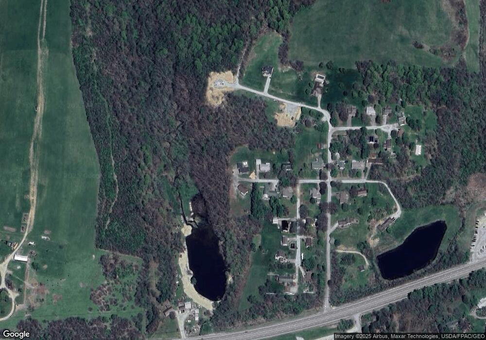
Map
Nearby Homes
- 1420 Glenn Hwy
- Lot 18 & 19 Greenbriar Dr
- 61220 Kadon Dr
- 60936 Patch Rd
- 67 E Main St
- 53 Paden Rd
- 8 E Main St
- 60040 Bliss Rd
- 154 Montgomery Blvd
- 112 Thompson Ave
- 0 Maple Ln
- 760 Friendship Dr
- 930 Friendship Dr
- 1165 Friendship Dr
- 12985 John Glenn School Rd
- 3859 Mayfair Ln
- 4480 Peters Creek Rd
- 225 Homestead Dr
- 62063 Savage Rd
- 4896 High Hill Rd
- 1920 Sunset Dr
- 1913 Sunset Dr
- 1932 Sunset Dr
- 1951 Sunset Dr
- 1948 Sunset Dr
- 61425 Summit Rd
- 1989 Sunset Dr
- 1986 Sunset Dr
- 61428 Summit Rd
- 61505 Stillmeadow Ln
- 61533 Stillmeadow Ln
- 61419 Summit Rd
- 61393 Summit Rd
- 61464 Stillmeadow Ln
- 61406 Summit Rd
- 61438 Stillmeadow Ln
- 61516 Stillmeadow Ln
- 2051 Sunset Dr
- 61369 Summit Rd
- 2044 Sunset Dr