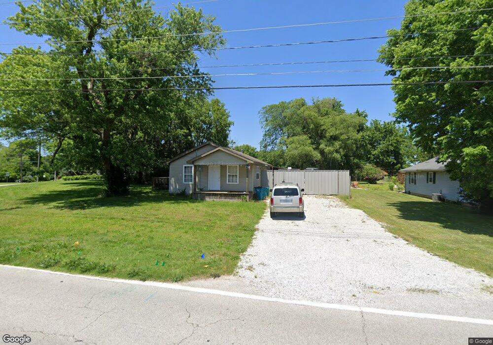
1917 W Smith St Springfield, MO 65803
Estimated Value: $118,000 - $200,000
2
Beds
1
Bath
930
Sq Ft
$167/Sq Ft
Est. Value
About This Home
This home is located at 1917 W Smith St, Springfield, MO 65803 and is currently estimated at $155,231, approximately $166 per square foot. 1917 W Smith St is a home located in Greene County with nearby schools including Watkins Elementary School, Reed Academy, and Hillcrest High School.
Ownership History
Date
Name
Owned For
Owner Type
Purchase Details
Closed on
Apr 7, 2021
Sold by
Ewert Brian and Ewert Debbie
Bought by
Barefoot Acres Llc
Current Estimated Value
Purchase Details
Closed on
Jun 9, 2016
Sold by
Chaney Michael L
Bought by
Ewert Brian and Ewert Debbie
Home Financials for this Owner
Home Financials are based on the most recent Mortgage that was taken out on this home.
Original Mortgage
$93,120
Interest Rate
3.66%
Mortgage Type
New Conventional
Create a Home Valuation Report for This Property
The Home Valuation Report is an in-depth analysis detailing your home's value as well as a comparison with similar homes in the area
Purchase History
| Date | Buyer | Sale Price | Title Company |
|---|---|---|---|
| Barefoot Acres Llc | -- | None Available | |
| Barefoot Acres Llc | -- | None Listed On Document | |
| Ewert Brian | -- | Choice Escrow & Land Title L |
Source: Public Records
Mortgage History
| Date | Status | Borrower | Loan Amount |
|---|---|---|---|
| Previous Owner | Ewert Brian | $93,120 |
Source: Public Records
Tax History
| Year | Tax Paid | Tax Assessment Tax Assessment Total Assessment is a certain percentage of the fair market value that is determined by local assessors to be the total taxable value of land and additions on the property. | Land | Improvement |
|---|---|---|---|---|
| 2025 | $778 | $15,620 | $6,650 | $8,970 |
| 2024 | $616 | $11,480 | $2,850 | $8,630 |
| 2023 | $612 | $11,480 | $2,850 | $8,630 |
| 2022 | $617 | $11,290 | $2,850 | $8,440 |
| 2021 | $617 | $11,290 | $2,850 | $8,440 |
| 2020 | $632 | $11,060 | $2,850 | $8,210 |
| 2019 | $614 | $11,060 | $2,850 | $8,210 |
| 2018 | $730 | $13,150 | $4,370 | $8,780 |
| 2017 | $722 | $12,450 | $4,370 | $8,080 |
| 2016 | $682 | $12,450 | $4,370 | $8,080 |
| 2015 | $676 | $12,450 | $4,370 | $8,080 |
| 2014 | $684 | $12,500 | $4,370 | $8,130 |
Source: Public Records
Map
Nearby Homes
- 3486 N Farm Road 143
- 1835 W Farm Road 102
- 1420 W Farm Road 102
- 1.16 Acres W Norton Rd
- 2005 W Melville Rd
- 434 W Kerr St
- 2488 W Farm Road 112
- 000 Missouri 13
- 2406 W Spring Water St
- 1122 W Vancouver St
- 2453 N Albertha Ave
- 2499 W Cedar Creek Dr
- 1141 W Talmage St
- 2812 W North St
- 919 W Woodridge St
- 3879 N Williams Ct
- 2544 N Johnston Ave
- 1632 N Grant Ave
- 2515 N West Ave
- 1.21 Acres N Kansas Expy
- 3155 N Oakland Ave
- 1909 W Smith St
- 3156 N Oakland Ave
- 3143 N Oakland Ave
- 3144 N Oakland Ave
- 1833 W Smith St
- 1916 W Sayer Dr
- 1928 W Smith St
- 1911 W McClernon St
- 3140 N Oakland Ave
- 1832 W Smith St
- 1930 W Sayer Dr
- 1906 W Sayer Dr
- 3136 N Oakland Ave
- 1821 W Smith St
- 1925 W McClernon St
- 3133 N Oakland Ave
- 2006 W Sayer Dr
- 3128 N Wabash Ave
- 3132 N Oakland Ave
Your Personal Tour Guide
Ask me questions while you tour the home.