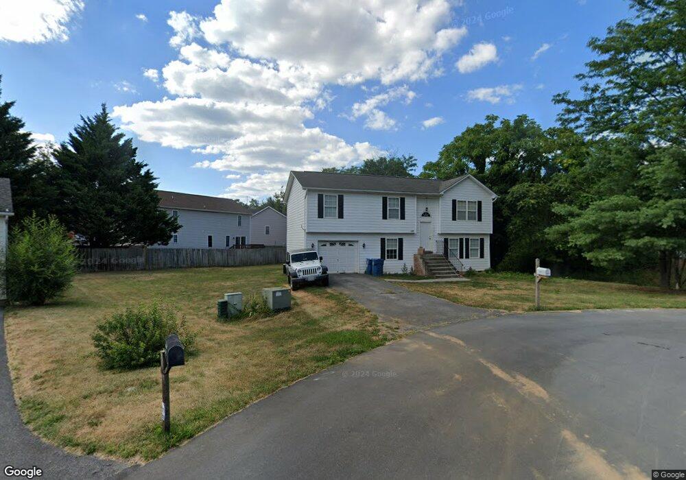
1917 Wayland Dr Winchester, VA 22601
Estimated Value: $404,640 - $450,000
4
Beds
2
Baths
2,360
Sq Ft
$181/Sq Ft
Est. Value
About This Home
This home is located at 1917 Wayland Dr, Winchester, VA 22601 and is currently estimated at $426,410, approximately $180 per square foot. 1917 Wayland Dr is a home located in Frederick County with nearby schools including Orchard View Elementary School, James Wood Middle School, and James Wood High School.
Ownership History
Date
Name
Owned For
Owner Type
Purchase Details
Closed on
Nov 11, 2008
Sold by
Bank Of New York Trustee
Bought by
Linaburg Stephen
Current Estimated Value
Home Financials for this Owner
Home Financials are based on the most recent Mortgage that was taken out on this home.
Original Mortgage
$126,000
Outstanding Balance
$82,505
Interest Rate
6.03%
Mortgage Type
New Conventional
Estimated Equity
$343,905
Purchase Details
Closed on
Aug 30, 2006
Sold by
Sorokin Denise M
Bought by
Rodriguez Maria F
Home Financials for this Owner
Home Financials are based on the most recent Mortgage that was taken out on this home.
Original Mortgage
$238,000
Interest Rate
6.83%
Mortgage Type
New Conventional
Create a Home Valuation Report for This Property
The Home Valuation Report is an in-depth analysis detailing your home's value as well as a comparison with similar homes in the area
Home Values in the Area
Average Home Value in this Area
Purchase History
| Date | Buyer | Sale Price | Title Company |
|---|---|---|---|
| Linaburg Stephen | $166,000 | -- | |
| Rodriguez Maria F | $297,000 | -- |
Source: Public Records
Mortgage History
| Date | Status | Borrower | Loan Amount |
|---|---|---|---|
| Open | Linaburg Stephen | $126,000 | |
| Previous Owner | Rodriguez Maria F | $238,000 |
Source: Public Records
Tax History Compared to Growth
Tax History
| Year | Tax Paid | Tax Assessment Tax Assessment Total Assessment is a certain percentage of the fair market value that is determined by local assessors to be the total taxable value of land and additions on the property. | Land | Improvement |
|---|---|---|---|---|
| 2025 | $1,665 | $346,900 | $88,000 | $258,900 |
| 2024 | $735 | $288,100 | $72,000 | $216,100 |
| 2023 | $1,469 | $288,100 | $72,000 | $216,100 |
| 2022 | $1,421 | $233,000 | $67,000 | $166,000 |
| 2021 | $1,421 | $233,000 | $67,000 | $166,000 |
| 2020 | $1,333 | $218,600 | $67,000 | $151,600 |
| 2019 | $1,333 | $218,600 | $67,000 | $151,600 |
| 2018 | $1,240 | $203,200 | $67,000 | $136,200 |
| 2017 | $1,219 | $203,200 | $67,000 | $136,200 |
| 2016 | $1,136 | $189,400 | $54,500 | $134,900 |
| 2015 | $1,061 | $189,400 | $54,500 | $134,900 |
| 2014 | $531 | $180,100 | $54,500 | $125,600 |
Source: Public Records
Map
Nearby Homes
- 428 Westside Station Dr
- 420 Westside Station Dr
- 419 Westside Station Dr
- 101 Dutton Place
- 1721 Amherst St
- 1819 Reese Ct
- 1818 Blythe Way
- 1810 Blythe Way
- 1822 Blythe Way
- 1814 Blythe Way
- 1802 Blythe Way
- 1020 Breckinridge Ln
- 1625 Amherst St
- 107 Okeefe Dr
- 106 Homer Dr
- 1332 Ramseur Ln
- 1504 Brookdale Ct
- 1415 Ramseur Ln
- 1419 Ramseur Ln
- 1517 Brookdale Ct
- 304 Colin Ct
- 1915 Wayland Dr
- 2016 Colin Dr
- 302 Colin Ct
- 427 Westside Station Dr
- 436 Westside Station Dr
- 2018 Colin Dr
- 432 Westside Station Dr
- 300 Colin Ct
- 425 Westside Station Dr
- 2017 Colin Dr
- 301 Colin Ct
- 303 Colin Ct
- 308 Colin Ct
- 424 Westside Station Dr
- 423 Westside Station Dr
- 305 Colin Ct
- 310 Colin Ct
- 1909 Wayland Dr
- 307 Colin Ct