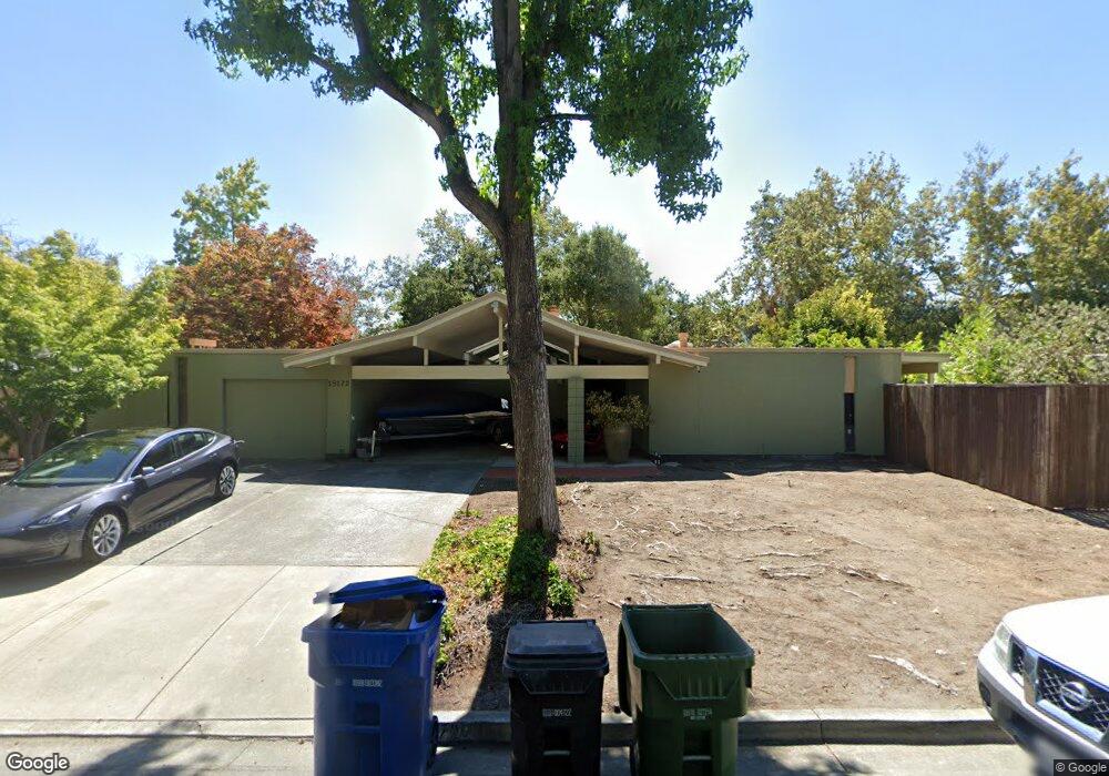
19172 De Havilland Dr Saratoga, CA 95070
West San Jose NeighborhoodEstimated Value: $3,771,297 - $4,029,000
4
Beds
2
Baths
2,039
Sq Ft
$1,885/Sq Ft
Est. Value
About This Home
This home is located at 19172 De Havilland Dr, Saratoga, CA 95070 and is currently estimated at $3,844,074, approximately $1,885 per square foot. 19172 De Havilland Dr is a home located in Santa Clara County with nearby schools including Argonaut Elementary School, Saratoga Elementary School, and Foothill Elementary School.
Ownership History
Date
Name
Owned For
Owner Type
Purchase Details
Closed on
May 28, 2024
Sold by
Robertson Douglas R and Robertson Catherine S
Bought by
Creekside Living Trust and Robertson
Current Estimated Value
Purchase Details
Closed on
Jun 16, 2003
Sold by
Schlomann Kenneth C and Schlomann Virginia S
Bought by
Robertson Douglas R and Robertson Catherine S
Home Financials for this Owner
Home Financials are based on the most recent Mortgage that was taken out on this home.
Original Mortgage
$575,000
Interest Rate
5.53%
Mortgage Type
Purchase Money Mortgage
Create a Home Valuation Report for This Property
The Home Valuation Report is an in-depth analysis detailing your home's value as well as a comparison with similar homes in the area
Home Values in the Area
Average Home Value in this Area
Purchase History
| Date | Buyer | Sale Price | Title Company |
|---|---|---|---|
| Creekside Living Trust | -- | Valley Title | |
| Robertson Douglas R | $625,000 | First American Title Co |
Source: Public Records
Mortgage History
| Date | Status | Borrower | Loan Amount |
|---|---|---|---|
| Previous Owner | Robertson Douglas R | $575,000 |
Source: Public Records
Tax History Compared to Growth
Tax History
| Year | Tax Paid | Tax Assessment Tax Assessment Total Assessment is a certain percentage of the fair market value that is determined by local assessors to be the total taxable value of land and additions on the property. | Land | Improvement |
|---|---|---|---|---|
| 2025 | $3,620 | $216,557 | $44,092 | $172,465 |
| 2024 | $3,620 | $212,312 | $43,228 | $169,084 |
| 2023 | $3,416 | $208,150 | $42,381 | $165,769 |
| 2022 | $3,366 | $204,069 | $41,550 | $162,519 |
| 2021 | $3,286 | $200,069 | $40,736 | $159,333 |
| 2020 | $3,197 | $198,019 | $40,319 | $157,700 |
| 2019 | $3,124 | $194,137 | $39,529 | $154,608 |
| 2018 | $3,041 | $190,331 | $38,754 | $151,577 |
| 2017 | $3,002 | $186,600 | $37,995 | $148,605 |
| 2016 | $2,875 | $182,942 | $37,250 | $145,692 |
| 2015 | $2,779 | $180,195 | $36,691 | $143,504 |
| 2014 | $2,693 | $176,666 | $35,973 | $140,693 |
Source: Public Records
Map
Nearby Homes
- 19423 Vineyard Ln
- 19113 Vineyard Ln
- 19437 Via Real Dr
- 11010 Maple Place Unit 25-06 Plan 4
- 10750 Elm Cir Unit 88-17 Plan 2
- 10730 Elm Cir Unit 86-17 Plan 2
- 13010 Glen Brae Dr
- Plan 2 at The Elms
- Plan 3 at The Elms
- Plan 4 at The Elms
- 11645 Redwood Place Unit 56-12 Plan 4
- 11315 Cottonwood Place Unit 39-09 Plan 3
- 11210 Cottonwood Place Unit 35-08 Plan 4
- 11115 Maple Place Unit 30-07
- 11220 Cottonwood Place Unit 36-08 Plan 2
- 11125 Maple Place Unit 31-07 Plan 2
- 11240 Cottonwood Place Unit 38-08 Plan 3
- 11145 Maple Place Unit 33-07 Plan 2
- 11040 Maple Place Unit 28-06 Plan 2
- 11155 Maple Place Unit 34-07 Plan 3
- 19174 De Havilland Dr
- 19168 De Havilland Dr
- 19166 De Havilland Dr
- 19175 De Havilland Dr
- 19186 De Havilland Dr
- 19200 Shubert Dr
- 19187 De Havilland Dr
- 19158 De Havilland Dr
- 19198 De Havilland Dr
- 19212 Shubert Dr
- 19199 De Havilland Dr
- 19120 Cox Ave
- 19236 Columbine Ct
- 19152 De Havilland Dr
- 19201 Shubert Dr
- 19546 Vineyard Ln
- 19222 De Havilland Dr
- 19547 Vineyard Ln
- 19223 De Havilland Dr
- 19348 Columbine Ct