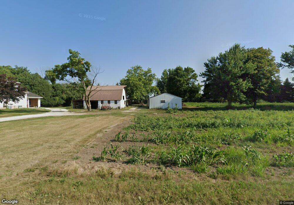
19172 Mink Dr SE Spring Grove, MN 55974
Estimated Value: $278,000 - $448,291
4
Beds
1
Bath
1,728
Sq Ft
$214/Sq Ft
Est. Value
About This Home
This home is located at 19172 Mink Dr SE, Spring Grove, MN 55974 and is currently estimated at $369,323, approximately $213 per square foot. 19172 Mink Dr SE is a home with nearby schools including Spring Grove Elementary School and Spring Grove Secondary School.
Ownership History
Date
Name
Owned For
Owner Type
Purchase Details
Closed on
Mar 1, 2023
Sold by
Ro-Ann Inc
Bought by
Sherburne Nathan
Current Estimated Value
Home Financials for this Owner
Home Financials are based on the most recent Mortgage that was taken out on this home.
Original Mortgage
$130,000
Outstanding Balance
$69,974
Interest Rate
6.15%
Mortgage Type
Credit Line Revolving
Estimated Equity
$299,349
Purchase Details
Closed on
Feb 16, 2023
Sold by
Ro-Ann Inc
Bought by
Sherburne Nathan
Home Financials for this Owner
Home Financials are based on the most recent Mortgage that was taken out on this home.
Original Mortgage
$130,000
Outstanding Balance
$69,974
Interest Rate
6.15%
Mortgage Type
Credit Line Revolving
Estimated Equity
$299,349
Purchase Details
Closed on
Aug 6, 2009
Sold by
Ro Ann Inc
Bought by
City Of Spring Grove
Create a Home Valuation Report for This Property
The Home Valuation Report is an in-depth analysis detailing your home's value as well as a comparison with similar homes in the area
Purchase History
| Date | Buyer | Sale Price | Title Company |
|---|---|---|---|
| Sherburne Nathan | $230,000 | -- | |
| Sherburne Nathan | $230,000 | -- | |
| City Of Spring Grove | $1,000 | None Available |
Source: Public Records
Mortgage History
| Date | Status | Borrower | Loan Amount |
|---|---|---|---|
| Open | Sherburne Nathan | $130,000 | |
| Open | Sherburne Nathan | $230,000 |
Source: Public Records
Tax History
| Year | Tax Paid | Tax Assessment Tax Assessment Total Assessment is a certain percentage of the fair market value that is determined by local assessors to be the total taxable value of land and additions on the property. | Land | Improvement |
|---|---|---|---|---|
| 2025 | $2,670 | $297,200 | $148,700 | $148,500 |
| 2024 | $1,706 | $222,800 | $136,800 | $86,000 |
| 2023 | $1,576 | $126,800 | $126,800 | $0 |
| 2022 | $700 | $113,300 | $113,300 | $0 |
| 2021 | $714 | $47,000 | $47,000 | $0 |
| 2020 | $744 | $47,000 | $47,000 | $0 |
| 2019 | $1,212 | $47,000 | $47,000 | $0 |
| 2018 | $1,268 | $47,000 | $47,000 | $0 |
| 2017 | $1,268 | $48,500 | $48,500 | $0 |
| 2016 | $874 | $48,500 | $48,500 | $0 |
| 2015 | $826 | $48,500 | $48,500 | $0 |
| 2014 | $826 | $47,000 | $47,000 | $0 |
Source: Public Records
Map
Nearby Homes
- 147 4th Ave SE
- 110 Lyndale St S
- 237 S Robert St
- 241 S Robert St
- 44331 State Hwy 44
- 118 Quandahl Rd
- 409 Maple St N
- 206 N Maple St
- 209 Oak St S
- 315 Newburg Ave W
- tbd Sayles Rd
- Xxx Sayles Rd
- 14327 County 1
- 19708 Camp Winnebago Rd
- 12384 Green Acres Dr
- 126 Bissen St
- 106 N Mcphail Ave
- 418 E Monroe St
- 720 S Badger St
- 510 E Madison St
- 413 2nd Ave SE
- 19104 Mink Dr
- 411 2nd Ave SE
- 413 3rd Ave SE
- 412 3rd Ave SE
- 409 3rd Ave SE
- 551 S Division Ave
- 403 2nd Ave SE
- 404 3rd Ave SE
- 529 S Division Ave
- 404 2nd Ave SE
- 403 3rd Ave SE
- 401 2nd Ave SE
- 402 3rd Ave SE
- 407 2nd Ave SE
- 527 S Division Ave
- 402 2nd Ave SE
- 401 3rd Ave SE
- 311 2nd Ave SE
- 213 3rd Ave SE
Your Personal Tour Guide
Ask me questions while you tour the home.