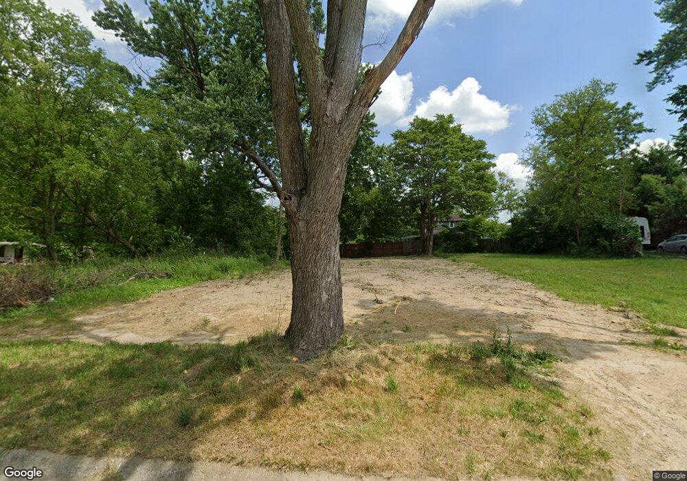
1918 Burns St Flint, MI 48506
Eastside NeighborhoodEstimated Value: $31,000 - $88,504
3
Beds
1
Bath
900
Sq Ft
$61/Sq Ft
Est. Value
About This Home
This home is located at 1918 Burns St, Flint, MI 48506 and is currently estimated at $54,501, approximately $60 per square foot. 1918 Burns St is a home located in Genesee County with nearby schools including Potter School, Flint Cultural Center Academy, and WAY Academy of Flint.
Ownership History
Date
Name
Owned For
Owner Type
Purchase Details
Closed on
Dec 19, 2019
Sold by
Genesee County Treasurer
Bought by
Genesee County Land Bank Authority
Current Estimated Value
Purchase Details
Closed on
Feb 6, 2015
Sold by
The Genesee County Land Bank Authority
Bought by
Houck Meghan
Purchase Details
Closed on
Dec 22, 2014
Sold by
Genesee County Treasurer
Bought by
Genesee County Land Bank
Purchase Details
Closed on
Feb 26, 2013
Sold by
Slater Lynette
Bought by
Slater Krystal
Purchase Details
Closed on
Mar 17, 2008
Sold by
Washington Mutual Bank
Bought by
Slater Lynette
Purchase Details
Closed on
Jun 27, 2007
Sold by
Shields William A and Shields Tiffaney E
Bought by
Washington Mutual Bank Fa
Create a Home Valuation Report for This Property
The Home Valuation Report is an in-depth analysis detailing your home's value as well as a comparison with similar homes in the area
Home Values in the Area
Average Home Value in this Area
Purchase History
| Date | Buyer | Sale Price | Title Company |
|---|---|---|---|
| Genesee County Land Bank Authority | -- | None Available | |
| Houck Meghan | $3,000 | None Available | |
| Genesee County Land Bank | -- | None Available | |
| Slater Krystal | -- | None Available | |
| Slater Lynette | $5,000 | Cislo Title Co | |
| Washington Mutual Bank Fa | $38,333 | None Available |
Source: Public Records
Mortgage History
| Date | Status | Borrower | Loan Amount |
|---|---|---|---|
| Closed | Houck Meghan | $0 |
Source: Public Records
Tax History Compared to Growth
Tax History
| Year | Tax Paid | Tax Assessment Tax Assessment Total Assessment is a certain percentage of the fair market value that is determined by local assessors to be the total taxable value of land and additions on the property. | Land | Improvement |
|---|---|---|---|---|
| 2025 | -- | $0 | $0 | $0 |
| 2024 | -- | $0 | $0 | $0 |
| 2023 | -- | $0 | $0 | $0 |
| 2022 | $0 | $0 | $0 | $0 |
| 2021 | $0 | $0 | $0 | $0 |
| 2020 | $268 | $0 | $0 | $0 |
| 2019 | $444 | $3,000 | $0 | $0 |
| 2018 | $1,892 | $2,600 | $0 | $0 |
| 2017 | $3,087 | $0 | $0 | $0 |
| 2016 | $621 | $0 | $0 | $0 |
| 2015 | -- | $0 | $0 | $0 |
| 2014 | -- | $0 | $0 | $0 |
| 2012 | -- | $7,800 | $0 | $0 |
Source: Public Records
Map
Nearby Homes
- 2225 Arlington Ave
- 1622 Arlington Ave
- 1510 N Vernon Ave
- 2211 Torrance St
- 1814 Mabel Ave
- 1805 Bennett Ave
- 1501 Arlington Ave
- 2506 Arlington Ave
- 2426 Hoff St
- 2301 Missouri Ave
- 1318 Cronk Ave
- 2610 Pennsylvania Ave
- 2426 Missouri Ave
- 1721 New York Ave
- 1644 Pennsylvania Ave
- 1529 Broadway Blvd
- 1622 New York Ave
- 1629 New York Ave
- 2605 Nebraska Ave
- 1605 Kearsley Park Blvd