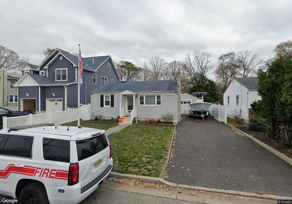
1918 Meadow Rd Wall Township, NJ 07719
Estimated Value: $554,392 - $648,000
2
Beds
1
Bath
720
Sq Ft
$817/Sq Ft
Est. Value
About This Home
This home is located at 1918 Meadow Rd, Wall Township, NJ 07719 and is currently estimated at $588,598, approximately $817 per square foot. 1918 Meadow Rd is a home located in Monmouth County with nearby schools including Wall High School and St. Rose Grammar School.
Ownership History
Date
Name
Owned For
Owner Type
Purchase Details
Closed on
Jul 31, 2024
Sold by
Mayer Nicole M and Campion Daniel J
Bought by
Campion Daniel J
Current Estimated Value
Purchase Details
Closed on
Aug 21, 2017
Sold by
Crossan Joyce
Bought by
Campion Daniel and Mayer Nicole
Home Financials for this Owner
Home Financials are based on the most recent Mortgage that was taken out on this home.
Original Mortgage
$208,160
Interest Rate
4.4%
Mortgage Type
FHA
Purchase Details
Closed on
May 31, 2000
Sold by
Mazorlig Paul
Bought by
Crossan Kevin and Crossan Joyce
Home Financials for this Owner
Home Financials are based on the most recent Mortgage that was taken out on this home.
Original Mortgage
$121,500
Interest Rate
8.24%
Create a Home Valuation Report for This Property
The Home Valuation Report is an in-depth analysis detailing your home's value as well as a comparison with similar homes in the area
Home Values in the Area
Average Home Value in this Area
Purchase History
| Date | Buyer | Sale Price | Title Company |
|---|---|---|---|
| Campion Daniel J | -- | None Listed On Document | |
| Campion Daniel J | -- | None Listed On Document | |
| Campion Daniel | $212,000 | First Integrity Title Agency | |
| Crossan Kevin | $135,000 | -- |
Source: Public Records
Mortgage History
| Date | Status | Borrower | Loan Amount |
|---|---|---|---|
| Previous Owner | Campion Daniel | $208,160 | |
| Previous Owner | Crossan Kevin | $121,500 |
Source: Public Records
Tax History Compared to Growth
Tax History
| Year | Tax Paid | Tax Assessment Tax Assessment Total Assessment is a certain percentage of the fair market value that is determined by local assessors to be the total taxable value of land and additions on the property. | Land | Improvement |
|---|---|---|---|---|
| 2025 | $4,912 | $229,300 | $169,300 | $60,000 |
| 2024 | $4,790 | $229,300 | $169,300 | $60,000 |
| 2023 | $4,790 | $229,300 | $169,300 | $60,000 |
| 2022 | $4,641 | $229,300 | $169,300 | $60,000 |
| 2021 | $4,641 | $229,300 | $169,300 | $60,000 |
| 2020 | $4,581 | $229,300 | $169,300 | $60,000 |
| 2019 | $4,529 | $229,300 | $169,300 | $60,000 |
| 2018 | $5,798 | $296,900 | $169,300 | $127,600 |
| 2017 | $5,683 | $296,900 | $169,300 | $127,600 |
| 2016 | $5,543 | $296,900 | $169,300 | $127,600 |
| 2015 | $4,189 | $140,700 | $72,300 | $68,400 |
| 2014 | $4,004 | $137,700 | $69,300 | $68,400 |
Source: Public Records
Map
Nearby Homes
- 1027 2nd Ave
- 1211 18th Ave
- 1704 Grove St
- 1820 New Jersey 35 Unit 34
- 1820 New Jersey 35 Unit Home Site 26
- 1014 Glenn St
- 1012 Glenn St
- 905 Wall Rd
- 1024 17th Ave
- 2419 Kipling Ave
- 1838 Highway 35 Unit 36
- 1630 Oakwood Rd
- 1813 Margerum Ave
- 12 Wyckham Rd
- 15 Wyckham Rd
- 1644 Riverview Terrace
- 1331 New Jersey 138
- 737 20th Ave
- 923 Woodland Ave
- 24 Old Mill Ct
- 1920 Meadow Rd
- 1916 Meadow Rd
- 1914 Meadow Rd
- 1922 Meadow Rd
- 1912 Meadow Rd
- 1919 Central Ave
- 1921 Central Ave
- 1924 Meadow Rd
- 1917 Meadow Rd
- 1915 Central Ave
- 1923 Central Ave
- 1910 Meadow Rd
- 1921 Meadow Rd
- 1919 Meadow Rd
- 1913 Central Ave
- 1925 Central Ave
- 1915 Meadow Rd
- 1908 Meadow Rd
- 1913 Meadow Rd
- 1927 Central Ave