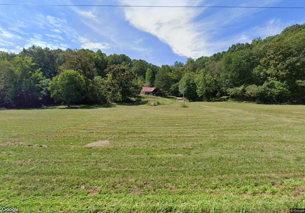
1918 Old Highway 13 S Linden, TN 37096
Estimated Value: $155,000 - $397,000
--
Bed
1
Bath
1,100
Sq Ft
$237/Sq Ft
Est. Value
About This Home
This home is located at 1918 Old Highway 13 S, Linden, TN 37096 and is currently estimated at $260,528, approximately $236 per square foot. 1918 Old Highway 13 S is a home located in Perry County.
Ownership History
Date
Name
Owned For
Owner Type
Purchase Details
Closed on
Oct 2, 2023
Sold by
Richardson David C and Richardson Diana
Bought by
David C Richardson And Diana L Richardson Irr and Richardson
Current Estimated Value
Purchase Details
Closed on
Oct 18, 2007
Bought by
Richardson David
Purchase Details
Closed on
Nov 16, 1998
Bought by
Stolz Wanda C
Purchase Details
Closed on
Jan 11, 1994
Bought by
Choate Sarah Hendrix
Purchase Details
Closed on
Feb 17, 1964
Bought by
Choate Sarah Hendrix
Create a Home Valuation Report for This Property
The Home Valuation Report is an in-depth analysis detailing your home's value as well as a comparison with similar homes in the area
Home Values in the Area
Average Home Value in this Area
Purchase History
| Date | Buyer | Sale Price | Title Company |
|---|---|---|---|
| David C Richardson And Diana L Richardson Irr | -- | None Listed On Document | |
| Richardson David | $164,700 | -- | |
| Stolz Wanda C | -- | -- | |
| Choate Sarah Hendrix | -- | -- | |
| Choate Sarah Hendrix | -- | -- |
Source: Public Records
Tax History Compared to Growth
Tax History
| Year | Tax Paid | Tax Assessment Tax Assessment Total Assessment is a certain percentage of the fair market value that is determined by local assessors to be the total taxable value of land and additions on the property. | Land | Improvement |
|---|---|---|---|---|
| 2025 | $437 | $19,025 | $0 | $0 |
| 2024 | $437 | $19,025 | $11,250 | $7,775 |
| 2023 | $437 | $19,025 | $11,250 | $7,775 |
| 2022 | $437 | $19,025 | $11,250 | $7,775 |
| 2021 | $437 | $19,025 | $11,250 | $7,775 |
| 2020 | $437 | $19,025 | $11,250 | $7,775 |
| 2019 | $355 | $14,325 | $9,725 | $4,600 |
| 2018 | $353 | $14,225 | $9,625 | $4,600 |
| 2017 | $349 | $14,225 | $9,625 | $4,600 |
| 2016 | $349 | $14,225 | $9,625 | $4,600 |
| 2015 | $342 | $14,225 | $9,625 | $4,600 |
| 2014 | $342 | $14,225 | $9,625 | $4,600 |
| 2013 | $287 | $11,959 | $0 | $0 |
Source: Public Records
Map
Nearby Homes
- 505 Big Buffalo Estates Cir
- 145 Big Buffalo Estates Cir
- 7468 Old Hohenwald Rd
- 8072 Old Hohenwald Rd
- 5681 Old Hohenwald Rd
- 4439 Old Hohenwald Rd
- 7696 Old Hohenwald Rd
- 6004 Old Hohenwald Rd
- 5608 Old Hohenwald Rd
- 289 Center Ridge Dr
- 316 Arbor Rd
- 218 Cedar Ave
- 2082 Airport Ridge Rd
- 138 Center Ridge Dr
- 2172 Airport Ridge Rd
- 117 Wyatt Ln
- 2017 Airport Ridge Rd
- 146 Wyatt Ln
- 122 Shelton St
- 0 Linda Ln Unit RTC3046693
- 37 Duncans Camp Rd
- 2650 Old Highway 13 S
- 1486 Old Highway 13 S
- 2677 Old Highway 13 S
- 51 E Bethel Church Rd
- 976 Bethel Rd
- 1209 Old Highway 13 S
- 2746 Old Highway 13 S
- 300 Venture
- 1170 Bethel Rd
- 309 Moore Rd
- 1260 Old Highway 13 S
- 1190 Old Highway 13 S
- 2919 Old Highway 13 S
- 57 Doyle Rd
- 358 Big Buffalo Estates Cir
- 315 Big Buffalo Estates Cir
- 3016 Old Highway 13 S
- 1103 Old Highway 13 S
- 275 Big Buffalo Estates Cir