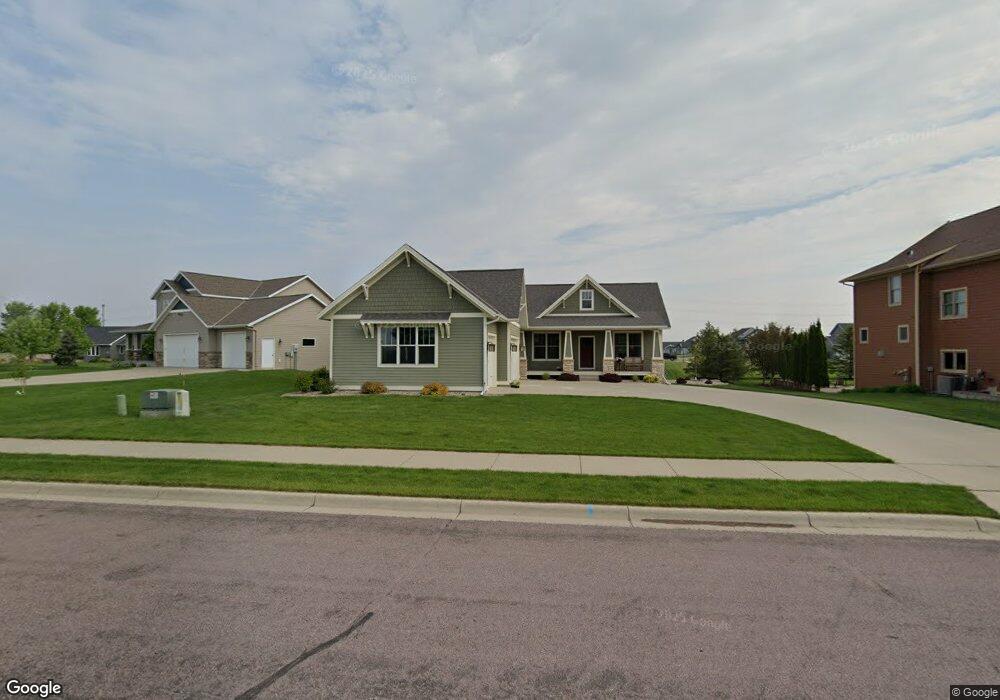
1918 Sheridan Ct Unit 1918 Sheridan Court North Mankato, MN 56003
Estimated Value: $537,237 - $591,000
4
Beds
3
Baths
1,596
Sq Ft
$360/Sq Ft
Est. Value
About This Home
This home is located at 1918 Sheridan Ct Unit 1918 Sheridan Court, North Mankato, MN 56003 and is currently estimated at $573,809, approximately $359 per square foot. 1918 Sheridan Ct Unit 1918 Sheridan Court is a home located in Nicollet County with nearby schools including Monroe Elementary School, Dakota Meadows Middle School, and Mankato West Senior High School.
Ownership History
Date
Name
Owned For
Owner Type
Purchase Details
Closed on
Aug 15, 2013
Sold by
Olsonoski Conrad and Olsonoski Kyla
Bought by
Wondra Jeffrey
Current Estimated Value
Home Financials for this Owner
Home Financials are based on the most recent Mortgage that was taken out on this home.
Original Mortgage
$307,500
Outstanding Balance
$228,128
Interest Rate
4.33%
Mortgage Type
New Conventional
Estimated Equity
$345,681
Create a Home Valuation Report for This Property
The Home Valuation Report is an in-depth analysis detailing your home's value as well as a comparison with similar homes in the area
Home Values in the Area
Average Home Value in this Area
Purchase History
| Date | Buyer | Sale Price | Title Company |
|---|---|---|---|
| Wondra Jeffrey | $327,500 | -- |
Source: Public Records
Mortgage History
| Date | Status | Borrower | Loan Amount |
|---|---|---|---|
| Open | Wondra Jeffrey | $307,500 |
Source: Public Records
Tax History Compared to Growth
Tax History
| Year | Tax Paid | Tax Assessment Tax Assessment Total Assessment is a certain percentage of the fair market value that is determined by local assessors to be the total taxable value of land and additions on the property. | Land | Improvement |
|---|---|---|---|---|
| 2025 | $6,838 | $530,800 | $79,700 | $451,100 |
| 2024 | $6,388 | $530,800 | $79,700 | $451,100 |
| 2023 | $5,938 | $495,000 | $79,700 | $415,300 |
| 2022 | $5,690 | $458,900 | $79,700 | $379,200 |
| 2021 | $5,666 | $395,500 | $63,700 | $331,800 |
| 2020 | $5,358 | $381,600 | $63,700 | $317,900 |
| 2019 | $5,400 | $368,500 | $63,700 | $304,800 |
| 2018 | $5,076 | $368,500 | $63,700 | $304,800 |
| 2017 | -- | $341,000 | $0 | $0 |
| 2016 | $4,506 | $0 | $0 | $0 |
| 2015 | -- | $0 | $0 | $0 |
| 2011 | -- | $0 | $0 | $0 |
Source: Public Records
Map
Nearby Homes
- 19 Prairie Ct
- 1977 Lexington Ln
- 1973 Lexington Ln
- 1965 Lexington Ln
- 51671 Lor Ray Dr
- 1961 Lexington Ln
- 22 Sunset Ct
- 1993 Lexington Ln
- 2262 Fairbanks Dr
- 2257 Fairbanks Dr
- 2210 Anchorage Dr
- 2224 Fairbanks Dr
- 2206 Anchorage Dr
- 2203 Rolling Green Ln
- 2200 Anchorage Dr
- 87 Benson Trail
- 38388 512th St
- 26 Legacy Ct
- 14 Legacy Ct
- 2155 Rolling Green Ln
- 1918 Sheridan Ct
- 1914 Sheridan Ct
- 1922 Sheridan Ct
- 1913 Lexington Ln
- 1926 Sheridan Ct
- 1909 Lexington Ln
- 1919 Sheridan Ct
- 1921 Lexington Ln
- 1910 Sheridan Ct
- 1905 Lexington Ln
- 1911 Sheridan Ct
- 1923 Sheridan Ct
- 1930 Sheridan Ct
- 1907 Sheridan Ct
- 1925 Lexington Ln
- 11 Prairie Ct
- 1901 Lexington Ln
- 1927 Sheridan Ct
- 1934 Sheridan Ct
- 1924 Lexington Ln