1919 1250th St Harlan, IA 51537
Estimated Value: $148,000 - $225,617
2
Beds
2
Baths
1,614
Sq Ft
$115/Sq Ft
Est. Value
About This Home
This home is located at 1919 1250th St, Harlan, IA 51537 and is currently estimated at $185,154, approximately $114 per square foot. 1919 1250th St is a home located in Shelby County with nearby schools including Harlan Primary School, Harlan Intermediate School, and Harlan Community Middle School.
Ownership History
Date
Name
Owned For
Owner Type
Purchase Details
Closed on
Aug 1, 2008
Sold by
Adams Russell D and Adams Delores L
Bought by
Lange Mac M and Lange Tatum M
Current Estimated Value
Home Financials for this Owner
Home Financials are based on the most recent Mortgage that was taken out on this home.
Original Mortgage
$73,979
Outstanding Balance
$48,958
Interest Rate
6.5%
Mortgage Type
New Conventional
Estimated Equity
$136,196
Create a Home Valuation Report for This Property
The Home Valuation Report is an in-depth analysis detailing your home's value as well as a comparison with similar homes in the area
Home Values in the Area
Average Home Value in this Area
Purchase History
| Date | Buyer | Sale Price | Title Company |
|---|---|---|---|
| Lange Mac M | $70,000 | None Available |
Source: Public Records
Mortgage History
| Date | Status | Borrower | Loan Amount |
|---|---|---|---|
| Open | Lange Mac M | $73,979 |
Source: Public Records
Tax History Compared to Growth
Tax History
| Year | Tax Paid | Tax Assessment Tax Assessment Total Assessment is a certain percentage of the fair market value that is determined by local assessors to be the total taxable value of land and additions on the property. | Land | Improvement |
|---|---|---|---|---|
| 2025 | $1,442 | $133,175 | $50,706 | $82,469 |
| 2024 | $1,442 | $121,395 | $50,706 | $70,689 |
| 2023 | $1,278 | $121,395 | $50,706 | $70,689 |
| 2022 | $1,278 | $99,021 | $50,706 | $48,315 |
| 2021 | $1,156 | $99,021 | $50,706 | $48,315 |
| 2020 | $1,102 | $91,030 | $50,706 | $40,324 |
| 2019 | $1,104 | $89,109 | $0 | $0 |
| 2018 | $1,074 | $89,109 | $0 | $0 |
| 2017 | $1,074 | $89,109 | $0 | $0 |
| 2016 | $982 | $80,247 | $0 | $0 |
| 2015 | $982 | $77,565 | $0 | $0 |
| 2014 | $928 | $77,565 | $0 | $0 |
Source: Public Records
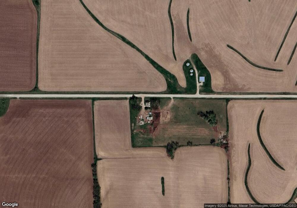
Map
Nearby Homes
- 1521 Road M56
- 105 Court St
- 408 Court St
- 512 Cyclone Ave
- 810 Market St
- 1704 7th St
- 912 Tarkington St
- 806 Baldwin St
- 912 Hill St
- 1910 7th St
- 912 Baldwin St
- 1811 8th St
- 2566 Yellowwood Rd
- 1102 Hill St
- 1004 Baldwin St
- 1109 Cyclone Ave
- 1118 Walnut St
- 1218 College Blvd
- 3002 12th St Unit 86
- 1312 College Blvd