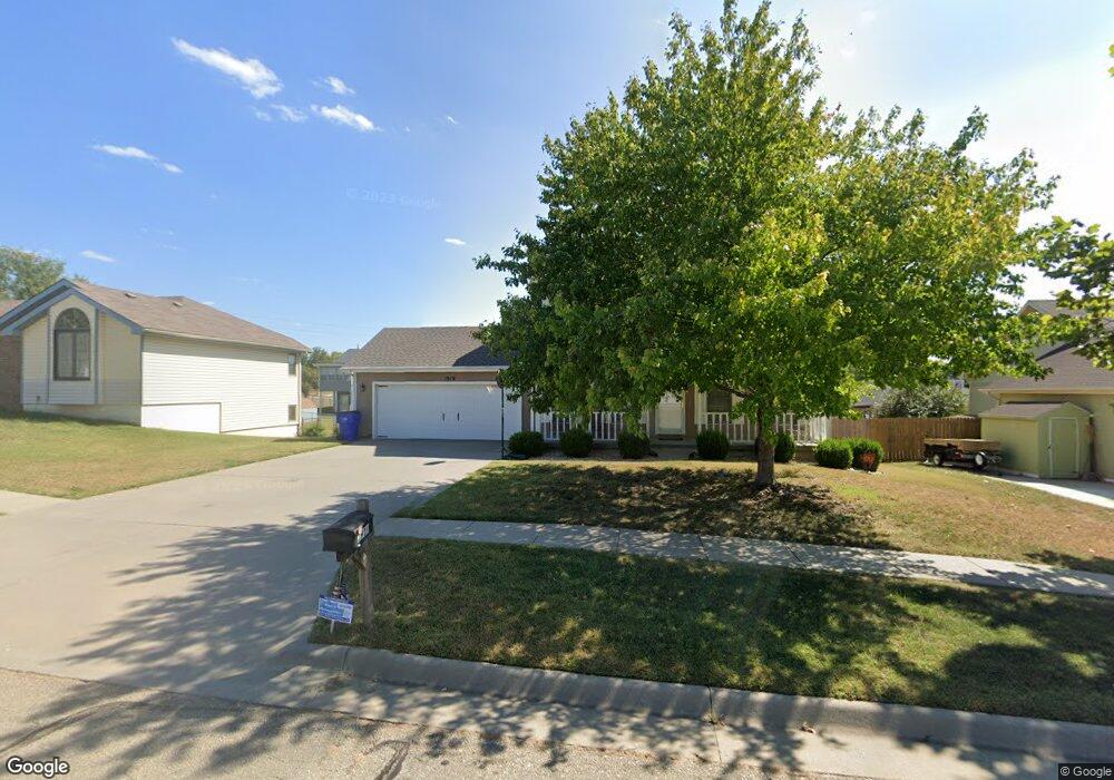
1919 Apache Dr Junction City, KS 66441
Estimated Value: $260,000 - $299,000
4
Beds
4
Baths
1,758
Sq Ft
$160/Sq Ft
Est. Value
About This Home
This home is located at 1919 Apache Dr, Junction City, KS 66441 and is currently estimated at $280,537, approximately $159 per square foot. 1919 Apache Dr is a home located in Geary County with nearby schools including Spring Valley Elementary School, Junction City Middle School, and Junction City Senior High School.
Ownership History
Date
Name
Owned For
Owner Type
Purchase Details
Closed on
Sep 29, 2017
Sold by
Guinn Michael K and Guinn Susan K
Bought by
Lovitt Stephanie L and Dixon Mandrell L
Current Estimated Value
Home Financials for this Owner
Home Financials are based on the most recent Mortgage that was taken out on this home.
Original Mortgage
$140,000
Outstanding Balance
$117,158
Interest Rate
3.89%
Estimated Equity
$163,379
Create a Home Valuation Report for This Property
The Home Valuation Report is an in-depth analysis detailing your home's value as well as a comparison with similar homes in the area
Home Values in the Area
Average Home Value in this Area
Purchase History
| Date | Buyer | Sale Price | Title Company |
|---|---|---|---|
| Lovitt Stephanie L | -- | Junction City Abstract & Ttl |
Source: Public Records
Mortgage History
| Date | Status | Borrower | Loan Amount |
|---|---|---|---|
| Open | Lovitt Stephanie L | $140,000 |
Source: Public Records
Tax History
| Year | Tax Paid | Tax Assessment Tax Assessment Total Assessment is a certain percentage of the fair market value that is determined by local assessors to be the total taxable value of land and additions on the property. | Land | Improvement |
|---|---|---|---|---|
| 2025 | $4,246 | $30,910 | $2,891 | $28,019 |
| 2024 | $4,016 | $28,888 | $2,717 | $26,171 |
| 2023 | $3,883 | $26,320 | $2,663 | $23,657 |
| 2022 | $0 | $23,748 | $2,545 | $21,203 |
| 2021 | $0 | $21,471 | $2,383 | $19,088 |
| 2020 | $3,442 | $21,252 | $2,329 | $18,923 |
| 2019 | $3,470 | $21,390 | $2,076 | $19,314 |
| 2018 | $3,454 | $21,390 | $2,030 | $19,360 |
| 2017 | $3,490 | $21,413 | $2,501 | $18,912 |
| 2016 | $3,718 | $22,575 | $1,287 | $21,288 |
| 2015 | $3,376 | $21,356 | $1,379 | $19,977 |
| 2014 | $3,277 | $21,643 | $1,388 | $20,255 |
Source: Public Records
Map
Nearby Homes
- 307 Arapahoe Ct
- 2210 Ponca
- 1708 Limestone Ln
- 212 Robin Hood Dr
- 422 Navajo Dr
- 2023 Mcfarland Rd
- 313 Caroline Ct
- 1608 Oakridge Dr
- 0000 Stoneridge Dr
- 628 Sagebrush Way
- 803 Sagebrush Way
- 1501 Holly Ln
- 2001 N Spring Valley Rd
- 516 Tamerisk Dr
- 1539 Tamerisk Dr
- 2406 Sawmill Rd
- 1231 Mcfarland Rd
- 1109 Coyote Dr
- 2529 Sawmill Rd
- 2523 Sawmill Rd
Your Personal Tour Guide
Ask me questions while you tour the home.