1919 Factory St Kalamazoo, MI 49001
Edison Neighborhood
--
Bed
--
Bath
179,725
Sq Ft
10.32
Acres
About This Home
This home is located at 1919 Factory St, Kalamazoo, MI 49001. 1919 Factory St is a home located in Kalamazoo County with nearby schools including Milwood Elementary School, Milwood Magnet School, and Loy Norrix High School.
Ownership History
Date
Name
Owned For
Owner Type
Purchase Details
Closed on
Oct 10, 2019
Sold by
Breslin Mason Llc
Bought by
Lewis C Howard Inc
Create a Home Valuation Report for This Property
The Home Valuation Report is an in-depth analysis detailing your home's value as well as a comparison with similar homes in the area
Home Values in the Area
Average Home Value in this Area
Purchase History
| Date | Buyer | Sale Price | Title Company |
|---|---|---|---|
| Lewis C Howard Inc | $10,000 | Chicago Title Company |
Source: Public Records
Tax History Compared to Growth
Tax History
| Year | Tax Paid | Tax Assessment Tax Assessment Total Assessment is a certain percentage of the fair market value that is determined by local assessors to be the total taxable value of land and additions on the property. | Land | Improvement |
|---|---|---|---|---|
| 2025 | $100,119 | $1,654,900 | $0 | $0 |
| 2024 | $41,489 | $1,558,800 | $0 | $0 |
| 2023 | $39,541 | $1,562,800 | $0 | $0 |
| 2022 | $90,801 | $1,534,500 | $0 | $0 |
| 2021 | $53,606 | $996,500 | $0 | $0 |
| 2020 | $38,870 | $755,000 | $0 | $0 |
Source: Public Records
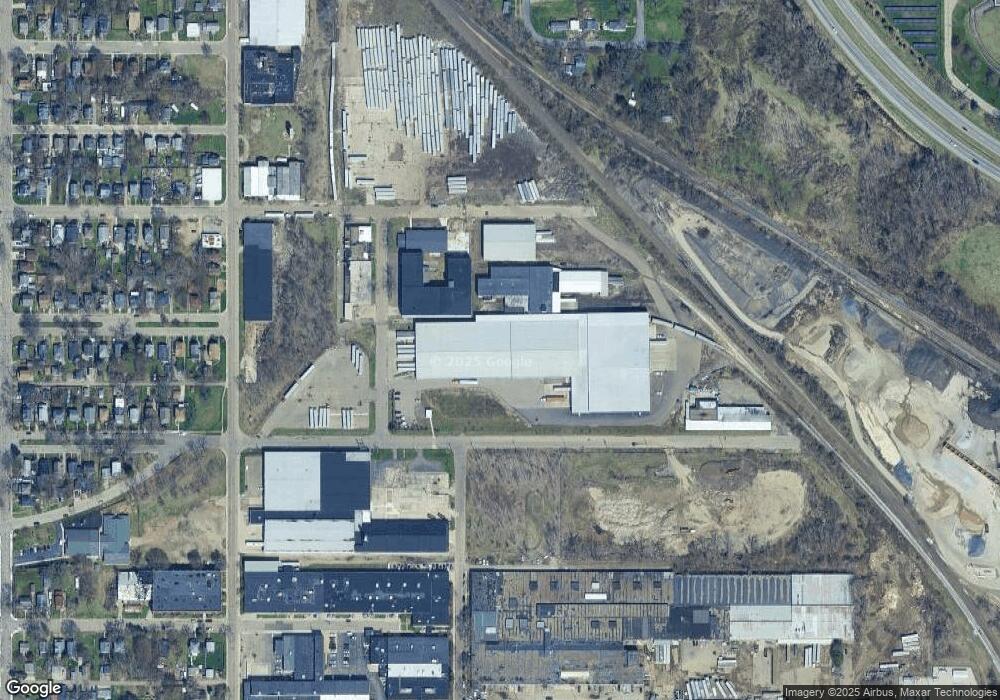
Map
Nearby Homes
- 1719 Palmer Ave
- 2008 E Stockbridge Ave
- 1424 Lay Blvd
- 1707 E Stockbridge Ave
- 1939 March St
- 1519 E Stockbridge Ave
- 1517 E Stockbridge Ave
- 2211 Roseland Ave
- 1315 E Stockbridge Ave
- 619 Lake St
- 1522 Miller Rd
- 1118 Lane Blvd
- 1303 E Stockbridge Ave
- 1118 E Alcott St
- 1028 Clinton Ave
- 1212 Washington Ave
- 1118 Willis Ave
- 1615 Southern Ave
- 1211 James St
- 1221 Wells Place
- 1811 Factory St Unit 2nd & 3rd
- 1811 Factory St Unit 1811
- 1811 Factory St Unit 3rd
- 1811 Factory St Unit 2nd
- 1811 Factory St Unit 1st
- 1811 Factory St Unit 1st & 2nd
- 1811 Factory St Unit Bldg
- 1811 Factory St
- 1801 Factory St
- 1910 Lane Blvd
- 2001 Fulford St Unit Build
- 2001 Fulford St Unit A,B,B
- 2001 Fulford St Unit B-1
- 2001 Fulford St Unit A,B,B-1
- 2001 Fulford St Unit A & B
- 2001 Fulford St Unit D
- 2001 Fulford St Unit A,C&D
- 2001 Fulford St Unit A,B&C
- 2001 Fulford St Unit A&C
- 2001 Fulford St Unit A