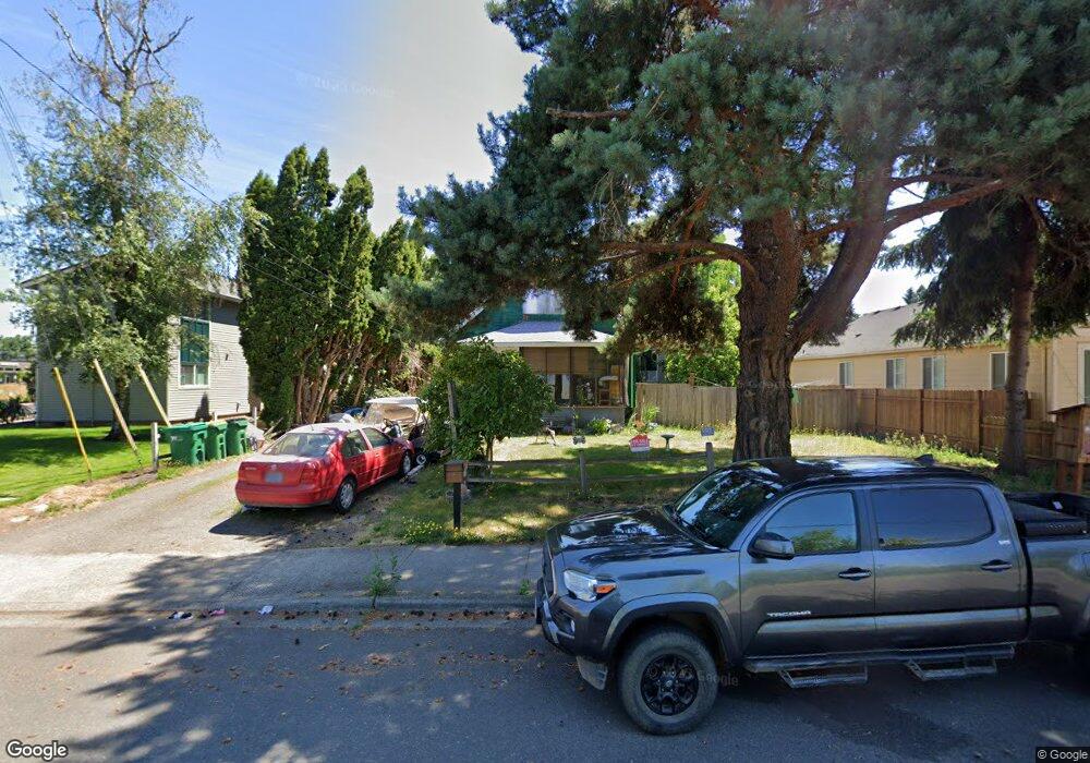
1919 Fir Rd Forest Grove, OR 97116
Estimated Value: $383,000 - $469,000
2
Beds
1
Bath
1,152
Sq Ft
$377/Sq Ft
Est. Value
About This Home
This home is located at 1919 Fir Rd, Forest Grove, OR 97116 and is currently estimated at $434,279, approximately $376 per square foot. 1919 Fir Rd is a home located in Washington County with nearby schools including Fern Hill Elementary School, Neil Armstrong Middle School, and Tom McCall Upper Elementary School.
Ownership History
Date
Name
Owned For
Owner Type
Purchase Details
Closed on
Nov 17, 2025
Sold by
Jepson Sara
Bought by
Property Max Llc
Current Estimated Value
Purchase Details
Closed on
Oct 6, 2021
Sold by
Dewayne Stuck John
Bought by
Haman James R
Purchase Details
Closed on
Jul 7, 2011
Sold by
Stuck Amy M
Bought by
Stuck John D
Purchase Details
Closed on
Mar 26, 2007
Sold by
Heesacker James Peter and Heesacker Linda L
Bought by
Stuck John D and Stuck Amy M
Create a Home Valuation Report for This Property
The Home Valuation Report is an in-depth analysis detailing your home's value as well as a comparison with similar homes in the area
Home Values in the Area
Average Home Value in this Area
Purchase History
| Date | Buyer | Sale Price | Title Company |
|---|---|---|---|
| Property Max Llc | $190,000 | Wfg Title | |
| Haman James R | $86,000 | None Listed On Document | |
| Stuck John D | -- | None Available | |
| Stuck John D | $32,100 | None Available |
Source: Public Records
Tax History Compared to Growth
Tax History
| Year | Tax Paid | Tax Assessment Tax Assessment Total Assessment is a certain percentage of the fair market value that is determined by local assessors to be the total taxable value of land and additions on the property. | Land | Improvement |
|---|---|---|---|---|
| 2026 | $2,402 | $134,880 | -- | -- |
| 2025 | $2,402 | $130,960 | -- | -- |
| 2024 | $2,317 | $127,150 | -- | -- |
| 2023 | $2,317 | $123,450 | $0 | $0 |
| 2022 | $2,026 | $123,450 | $0 | $0 |
| 2021 | $2,000 | $116,370 | $0 | $0 |
| 2020 | $1,989 | $112,990 | $0 | $0 |
| 2019 | $1,945 | $109,700 | $0 | $0 |
| 2018 | $1,886 | $106,510 | $0 | $0 |
| 2017 | $1,827 | $103,410 | $0 | $0 |
| 2016 | $1,776 | $100,400 | $0 | $0 |
| 2015 | $1,708 | $97,480 | $0 | $0 |
| 2014 | $1,700 | $94,650 | $0 | $0 |
Source: Public Records
Map
Nearby Homes
- 1835 Tamarack Ct
- 1832 Vine Ct
- 3404 19th Ave Unit 103
- 3404 19th Ave Unit 215
- 3831 Pacific Ave Unit D5
- 3831 Pacific Ave Unit D2
- 3839 Pacific Ave Unit 102
- 0 22nd Ave Unit 11
- 3213 Maple Place
- 1506 Pioneer Cir
- 3128 Brittany Dr
- 2369 NW Martin Rd
- 2303 NW Martin Rd
- 2341 NW Martin Rd
- 1504 Frontier Cir
- 2902 19th Ave
- 0 Kingwood St
- 1402 Pioneer Way
- 1509 Centennial Cir
- 2824 19th Ave