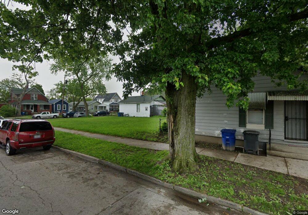
1919 Locust St Toledo, OH 43608
Lagrange NeighborhoodEstimated Value: $52,000
Studio
--
Bath
--
Sq Ft
2,396
Sq Ft Lot
About This Home
This home is located at 1919 Locust St, Toledo, OH 43608 and is currently priced at $52,000. 1919 Locust St is a home located in Lucas County with nearby schools including Sherman Elementary School, Woodward High School, and Madison Avenue School Of Arts.
Ownership History
Date
Name
Owned For
Owner Type
Purchase Details
Closed on
Feb 2, 2021
Sold by
Lagrange Development Corp
Bought by
Lucas County Land Reutilization Corporation
Current Estimated Value
Purchase Details
Closed on
Apr 9, 2009
Sold by
Fritz Gregory F and Fritz Barbara L
Bought by
Lagrange Development Corporation
Create a Home Valuation Report for This Property
The Home Valuation Report is an in-depth analysis detailing your home's value as well as a comparison with similar homes in the area
Home Values in the Area
Average Home Value in this Area
Purchase History
| Date | Buyer | Sale Price | Title Company |
|---|---|---|---|
| Lucas County Land Reutilization Corporation | -- | -- | |
| Lagrange Development Corporation | $500 | Attorney |
Source: Public Records
Tax History
| Year | Tax Paid | Tax Assessment Tax Assessment Total Assessment is a certain percentage of the fair market value that is determined by local assessors to be the total taxable value of land and additions on the property. | Land | Improvement |
|---|---|---|---|---|
| 2025 | -- | $35 | $35 | -- |
| 2024 | -- | $35 | $35 | -- |
| 2023 | $109 | $35 | $35 | $0 |
| 2022 | $0 | $35 | $35 | $0 |
| 2021 | $101 | $35 | $35 | $0 |
| 2020 | $110 | $35 | $35 | $0 |
| 2019 | $671 | $35 | $35 | $0 |
| 2018 | $111 | $35 | $35 | $0 |
| 2017 | $323 | $35 | $35 | $0 |
| 2016 | $184 | $300 | $300 | $0 |
| 2015 | $116 | $300 | $300 | $0 |
| 2014 | $7 | $110 | $110 | $0 |
| 2013 | $7 | $110 | $110 | $0 |
Source: Public Records
Map
Nearby Homes
Your Personal Tour Guide
Ask me questions while you tour the home.