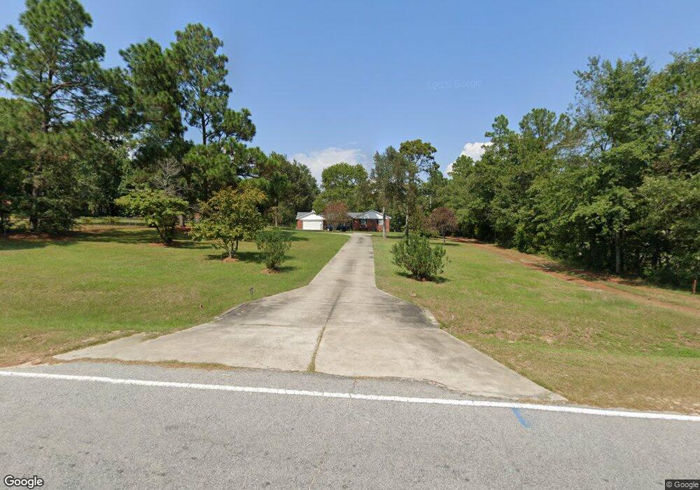
1919 Mcdade Rd Hephzibah, GA 30815
McDade NeighborhoodEstimated Value: $221,000 - $287,000
3
Beds
3
Baths
1,795
Sq Ft
$142/Sq Ft
Est. Value
About This Home
This home is located at 1919 Mcdade Rd, Hephzibah, GA 30815 and is currently estimated at $254,347, approximately $141 per square foot. 1919 Mcdade Rd is a home located in Richmond County with nearby schools including Goshen Elementary School, Pine Hill Middle School, and Johnson Magnet.
Ownership History
Date
Name
Owned For
Owner Type
Purchase Details
Closed on
Nov 27, 2013
Sold by
Beasley Audrey
Bought by
Newberry Michael D and Newberry Mary D
Current Estimated Value
Home Financials for this Owner
Home Financials are based on the most recent Mortgage that was taken out on this home.
Original Mortgage
$117,826
Outstanding Balance
$86,444
Interest Rate
3.75%
Mortgage Type
FHA
Estimated Equity
$167,903
Create a Home Valuation Report for This Property
The Home Valuation Report is an in-depth analysis detailing your home's value as well as a comparison with similar homes in the area
Home Values in the Area
Average Home Value in this Area
Purchase History
| Date | Buyer | Sale Price | Title Company |
|---|---|---|---|
| Newberry Michael D | $120,000 | -- |
Source: Public Records
Mortgage History
| Date | Status | Borrower | Loan Amount |
|---|---|---|---|
| Open | Newberry Michael D | $117,826 |
Source: Public Records
Tax History Compared to Growth
Tax History
| Year | Tax Paid | Tax Assessment Tax Assessment Total Assessment is a certain percentage of the fair market value that is determined by local assessors to be the total taxable value of land and additions on the property. | Land | Improvement |
|---|---|---|---|---|
| 2024 | $2,932 | $87,192 | $8,400 | $78,792 |
| 2023 | $1,536 | $68,000 | $8,400 | $59,600 |
| 2022 | $2,253 | $71,332 | $8,400 | $62,932 |
| 2021 | $1,618 | $44,768 | $8,400 | $36,368 |
| 2020 | $1,595 | $44,768 | $8,400 | $36,368 |
| 2019 | $1,682 | $44,768 | $8,400 | $36,368 |
| 2018 | $1,693 | $44,768 | $8,400 | $36,368 |
| 2017 | $1,670 | $44,768 | $8,400 | $36,368 |
| 2016 | $1,671 | $44,768 | $8,400 | $36,368 |
| 2015 | $1,682 | $44,768 | $8,400 | $36,368 |
| 2014 | $1,684 | $44,768 | $8,400 | $36,368 |
Source: Public Records
Map
Nearby Homes
- 1898 McDade Farm Rd
- 3926 Union Grove Cir
- 1807 Mcdade Rd
- 1943 McDade Farm Rd Unit F
- 3405 Southern Ridge Ct
- 4065 Old Waynesboro Rd
- 1894 Mcdade Rd
- 2031 Mcdade Rd
- 2013 Pondcypress Ct
- 4053 Burning Tree Ln
- 1018 Cedarview Cir
- 1736 Goshen Rd
- 4129 Markwalter Rd
- 4149 Markwalter Rd
- 1737 Tamarind Way
- 4018 Rio Pinar Dr
- 4047 Goshen Lake Dr S
- 1775 Brown Rd
- 4034 Burning Tree Ln
- 4015 Goshen Lake Dr S
- 1921 Mcdade Rd
- 1921 McDade Farm Rd
- 1901 Mcdade Rd
- 1915 Mcdade Rd
- 1925 Mcdade Rd
- 1899 Mcdade Rd
- 1903 Mcdade Rd
- 1910 Mcdade Rd
- 1891 Mcdade Rd
- 1895 Mcdade Rd
- 1929 Mcdade Rd
- 4041 Union Grove Cir
- 4039 Union Grove Cir
- 4037 Union Grove Cir
- 4045 Union Grove Cir
- 1931 Mcdade Rd
- 1937 Mcdade Rd
- 1939 Mcdade Rd
- 1939 Mcdade Rd
- 4035 Union Grove Cir