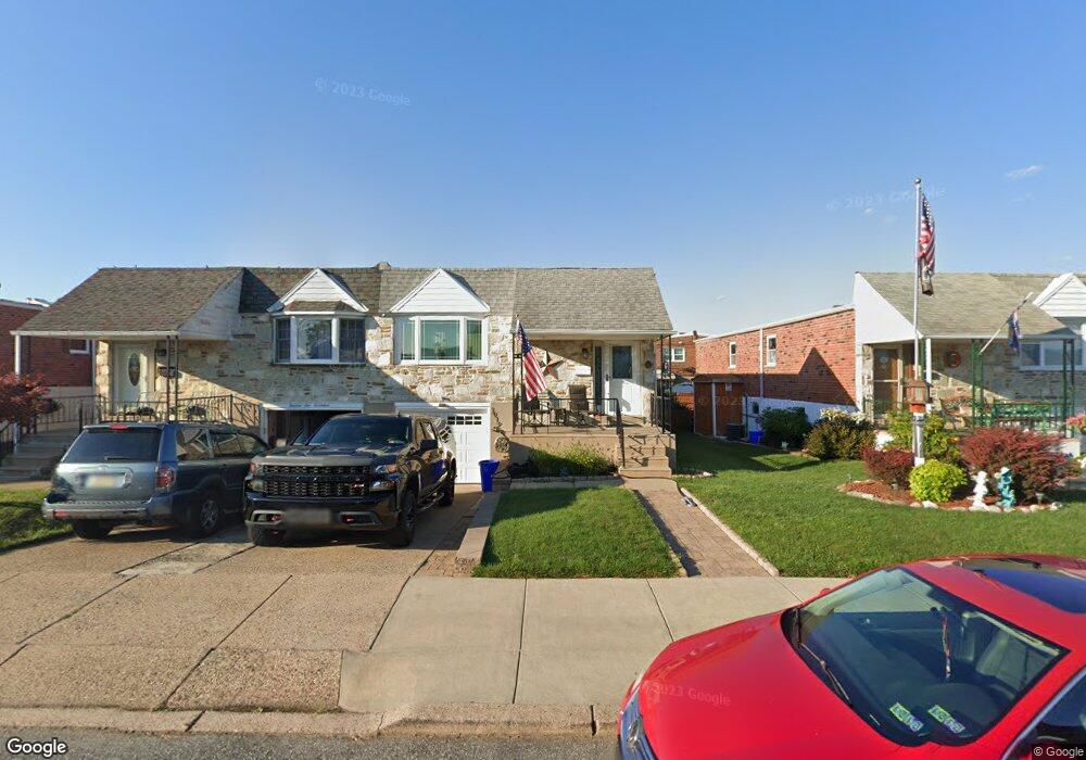
1919 Morrell St Philadelphia, PA 19115
Bustleton NeighborhoodEstimated Value: $317,950 - $415,000
--
Bed
--
Bath
1,201
Sq Ft
$307/Sq Ft
Est. Value
About This Home
This home is located at 1919 Morrell St, Philadelphia, PA 19115 and is currently estimated at $368,238, approximately $306 per square foot. 1919 Morrell St is a home located in Philadelphia County with nearby schools including Frank Anne School, CCA Baldi Middle School, and George Washington High School.
Ownership History
Date
Name
Owned For
Owner Type
Purchase Details
Closed on
Aug 7, 2014
Sold by
Levine Doris and Estate Of Margarete Burns
Bought by
Paraschak William W
Current Estimated Value
Home Financials for this Owner
Home Financials are based on the most recent Mortgage that was taken out on this home.
Original Mortgage
$65,000
Outstanding Balance
$49,618
Interest Rate
4.14%
Mortgage Type
New Conventional
Estimated Equity
$318,620
Purchase Details
Closed on
Aug 5, 1987
Bought by
Burns Martin H and Burns Margaret
Create a Home Valuation Report for This Property
The Home Valuation Report is an in-depth analysis detailing your home's value as well as a comparison with similar homes in the area
Home Values in the Area
Average Home Value in this Area
Purchase History
| Date | Buyer | Sale Price | Title Company |
|---|---|---|---|
| Paraschak William W | $160,000 | None Available | |
| Burns Martin H | -- | -- |
Source: Public Records
Mortgage History
| Date | Status | Borrower | Loan Amount |
|---|---|---|---|
| Open | Paraschak William W | $65,000 |
Source: Public Records
Tax History Compared to Growth
Tax History
| Year | Tax Paid | Tax Assessment Tax Assessment Total Assessment is a certain percentage of the fair market value that is determined by local assessors to be the total taxable value of land and additions on the property. | Land | Improvement |
|---|---|---|---|---|
| 2025 | $3,799 | $332,900 | $66,580 | $266,320 |
| 2024 | $3,799 | $332,900 | $66,580 | $266,320 |
| 2023 | $3,799 | $271,400 | $54,200 | $217,200 |
| 2022 | $2,417 | $226,400 | $54,200 | $172,200 |
| 2021 | $3,047 | $0 | $0 | $0 |
| 2020 | $3,047 | $0 | $0 | $0 |
| 2019 | $2,870 | $0 | $0 | $0 |
| 2018 | $2,548 | $0 | $0 | $0 |
| 2017 | $2,548 | $0 | $0 | $0 |
| 2016 | $2,548 | $0 | $0 | $0 |
| 2015 | $2,439 | $0 | $0 | $0 |
| 2014 | -- | $182,000 | $70,200 | $111,800 |
| 2012 | -- | $26,752 | $4,099 | $22,653 |
Source: Public Records
Map
Nearby Homes
- 1961 President St
- 9782 Clark St
- 9854 Clark St
- 9759 Clark St
- 9815 Cowden St
- 9823 Bonner St
- 23 Evergreen Way
- 1251 Serota Place
- 9837 Haldeman Ave
- 9839 Haldeman Ave
- 9618 Hoff St
- 9926 Haldeman Unit#133 Ave
- 9926 Haldeman Ave
- 1226 Norwalk Rd
- 2026 Murray St
- 9739 Krewstown Rd
- 1224 Norwalk Rd
- 9527 Clark St
- 9921 Bustleton Ave Unit P3
- 9703 Northeast Ave
- 1917 Morrell St
- 1921 Morrell St
- 1915 Morrell St
- 1923 Morrell St
- 1918 President St
- 1913 Morrell St
- 1920 President St
- 1927 Morrell St
- 1925 Morrell St
- 1922 President St
- 1916 President St
- 1924 President St
- 1914 President St
- 1911 Morrell St
- 1926 President St
- 1912 President St
- 1909 Morrell St
- 1929 Morrell St
- 1928 President St
- 1910 President St