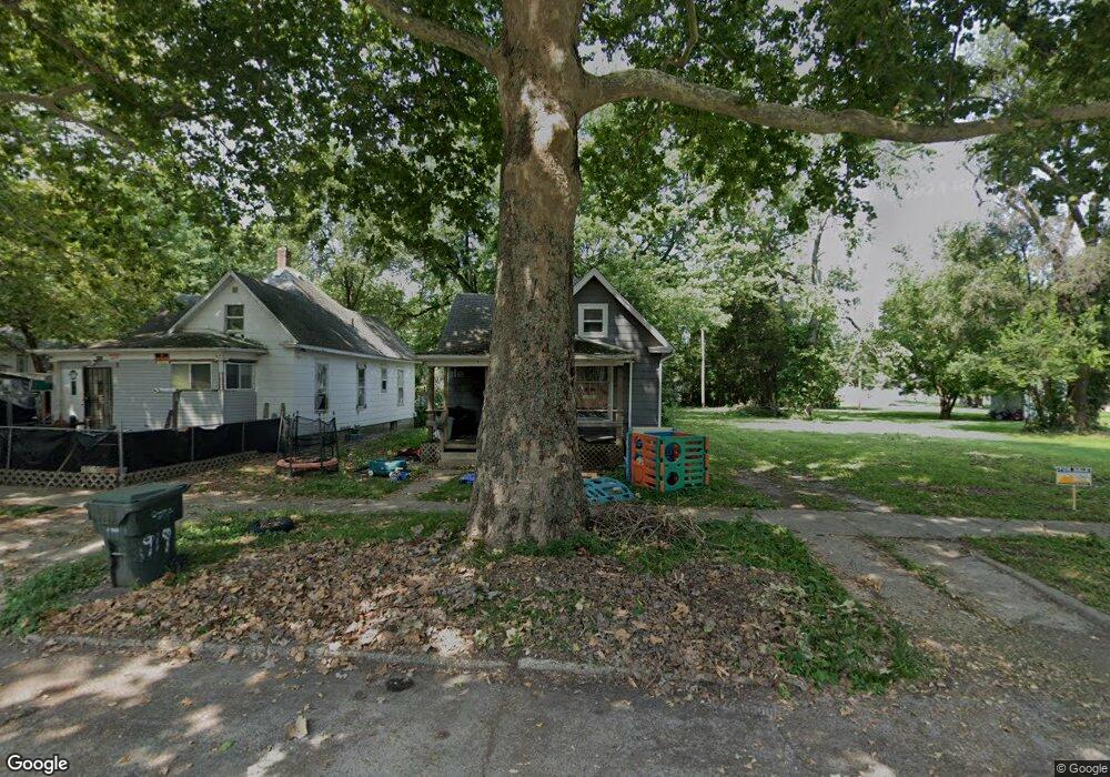
1919 N Union St Decatur, IL 62526
GM Square NeighborhoodEstimated Value: $33,000 - $53,000
Studio
--
Bath
876
Sq Ft
$49/Sq Ft
Est. Value
About This Home
This home is located at 1919 N Union St, Decatur, IL 62526 and is currently estimated at $43,042, approximately $49 per square foot. 1919 N Union St is a home located in Macon County with nearby schools including Parsons Elementary School and Stephen Decatur Middle School.
Ownership History
Date
Name
Owned For
Owner Type
Purchase Details
Closed on
Jul 25, 2018
Sold by
Johnson Jeamesttie
Bought by
Ross Irvion and Ross Shawna
Current Estimated Value
Purchase Details
Closed on
Oct 16, 2015
Sold by
Federal Home Loan Mortgage Corporation
Bought by
Ry Properties Llc
Purchase Details
Closed on
Feb 3, 2015
Sold by
Nance John H and Nance John
Bought by
Federal Home Loan Mortgage Corporation
Create a Home Valuation Report for This Property
The Home Valuation Report is an in-depth analysis detailing your home's value as well as a comparison with similar homes in the area
Home Values in the Area
Average Home Value in this Area
Purchase History
| Date | Buyer | Sale Price | Title Company |
|---|---|---|---|
| Ross Irvion | $5,500 | None Available | |
| Ry Properties Llc | $1,500 | None Available | |
| Federal Home Loan Mortgage Corporation | -- | None Available |
Source: Public Records
Tax History
| Year | Tax Paid | Tax Assessment Tax Assessment Total Assessment is a certain percentage of the fair market value that is determined by local assessors to be the total taxable value of land and additions on the property. | Land | Improvement |
|---|---|---|---|---|
| 2024 | $334 | $4,268 | $442 | $3,826 |
| 2023 | $344 | $4,117 | $426 | $3,691 |
| 2022 | $353 | $3,861 | $394 | $3,467 |
| 2021 | $150 | $3,606 | $368 | $3,238 |
| 2020 | $153 | $3,438 | $350 | $3,088 |
| 2019 | $153 | $3,438 | $350 | $3,088 |
| 2018 | $382 | $3,639 | $197 | $3,442 |
| 2017 | $391 | $3,736 | $202 | $3,534 |
| 2016 | $399 | $3,774 | $204 | $3,570 |
| 2015 | -- | $6,854 | $224 | $6,630 |
| 2014 | -- | $6,786 | $222 | $6,564 |
| 2013 | -- | $7,041 | $230 | $6,811 |
Source: Public Records
Map
Nearby Homes
- 1914 N Union St
- 2005 N Union St
- 216 W Garfield Ave
- 2051 N Church St
- 1595 N Church St
- 1521 N Union St
- 240 E Olive St
- 1568 N Main St
- 1590 N Water St
- 777 W Harper Ave
- 2285 N Monroe St
- 5 East Dr
- 1659 N Maple Ave
- 1653 N Maple Ave
- 415 E Division St
- 254 W Leafland Ave
- 18 Maple Ct
- 1429 N Walnut Grove Ave
- 1329 N Walnut Grove Ave
- 1124 W Cushing St
- 1927 N Union St
- 1911 N Union St
- 1922 N Union St
- 1908 N Union St
- 1943 N Union St
- 1902 N Union St
- 259 W Garfield Ave
- 1949 N Union St
- 255 W Garfield Ave
- 316 W Sawyer St
- 1805 N Union St
- 254 W Peoria Ave
- 322 W Sawyer St
- 247 W Garfield Ave
- 246 W Peoria Ave
- 326 W Sawyer St
- 241 W Garfield Ave
- 1848 N Union St
- 1908 N Edward St
- 1920 N Edward St
Your Personal Tour Guide
Ask me questions while you tour the home.