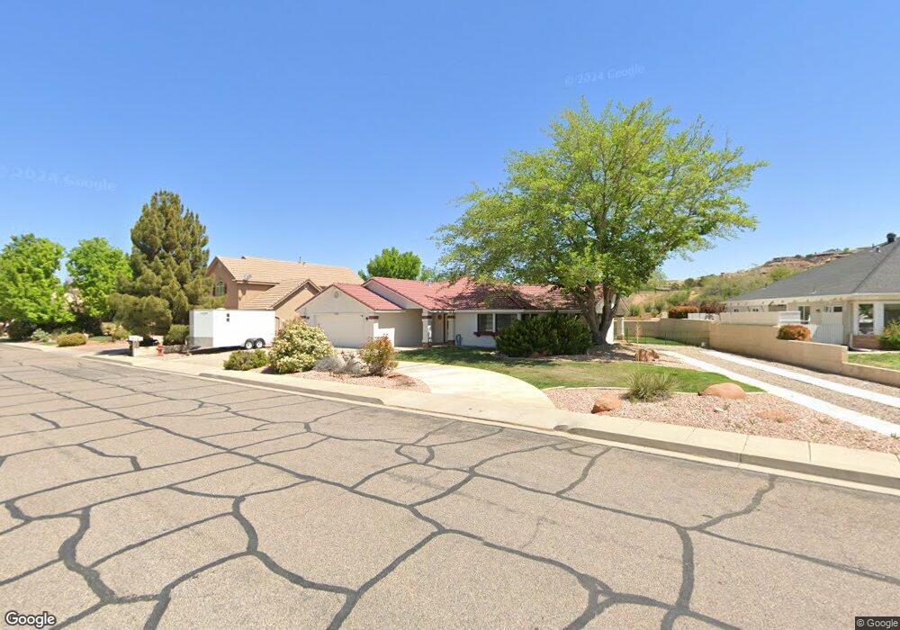
1919 Point Dr Saint George, UT 84790
Estimated Value: $475,000 - $513,000
3
Beds
2
Baths
2,000
Sq Ft
$246/Sq Ft
Est. Value
About This Home
This home is located at 1919 Point Dr, Saint George, UT 84790 and is currently estimated at $491,759, approximately $245 per square foot. 1919 Point Dr is a home located in Washington County with nearby schools including Bloomington Hills Elementary School, Sunrise Ridge Intermediate School, and Desert Hills Middle School.
Ownership History
Date
Name
Owned For
Owner Type
Purchase Details
Closed on
Dec 4, 2018
Sold by
Madsen Clinton and Madsen Judith
Bought by
Bond Dale P and The Dale P Bond Family Trust
Current Estimated Value
Purchase Details
Closed on
Aug 27, 2012
Sold by
Daniels Lorin B and Daniels Boydine L
Bought by
Madsen Clinton and Madsen Judith
Home Financials for this Owner
Home Financials are based on the most recent Mortgage that was taken out on this home.
Original Mortgage
$170,050
Interest Rate
3.5%
Mortgage Type
New Conventional
Create a Home Valuation Report for This Property
The Home Valuation Report is an in-depth analysis detailing your home's value as well as a comparison with similar homes in the area
Purchase History
| Date | Buyer | Sale Price | Title Company |
|---|---|---|---|
| Bond Dale P | -- | Vanguard Title Ins Agency Ll | |
| Madsen Clinton | -- | Southern Utah Title |
Source: Public Records
Mortgage History
| Date | Status | Borrower | Loan Amount |
|---|---|---|---|
| Previous Owner | Madsen Clinton | $170,050 |
Source: Public Records
Tax History
| Year | Tax Paid | Tax Assessment Tax Assessment Total Assessment is a certain percentage of the fair market value that is determined by local assessors to be the total taxable value of land and additions on the property. | Land | Improvement |
|---|---|---|---|---|
| 2025 | $1,682 | $255,420 | $82,500 | $172,920 |
| 2023 | -- | $251,955 | $71,500 | $180,455 |
| 2022 | $34 | $260,315 | $60,500 | $199,815 |
| 2021 | $1,567 | $328,400 | $100,000 | $228,400 |
| 2020 | $2,695 | $292,500 | $95,000 | $197,500 |
| 2019 | $2,712 | $287,600 | $95,000 | $192,600 |
| 2018 | $1,466 | $141,680 | $0 | $0 |
| 2017 | $1,267 | $122,485 | $0 | $0 |
| 2016 | $1,346 | $120,340 | $0 | $0 |
| 2015 | $1,322 | $113,355 | $0 | $0 |
| 2014 | $1,287 | $111,100 | $0 | $0 |
Source: Public Records
Map
Nearby Homes
- 1790 S River Rd
- 1171 Hubbard Place
- 2045 S 1400 E Unit 12
- 2045 S 1400 E Unit 13
- 1919 S Point Dr
- 1787 S Point Dr
- 1597 E Dihedral Dr
- 2050 S 1400 E Unit K103
- 2050 S 1400 E Unit A100
- 2050 S 1400 E Unit K101
- 2050 S 1400 E Unit 3
- 2050 S 1400 E Unit 23
- 2050 S 1400 E Unit K112
- 2050 S 1400 E Unit C100
- 1766 S 1570 E
- 1040 E Fort Pierce Dr N
- 1560 E Dihedral Dr
- 1125 E Sherman Cir
- 1648 Dihedral Dr
- 1448 E 2190 South Cir
- 1922 Point Dr
- 1908 Point Dr
- 1887 Point Dr
- 1944 Point Dr
- 1892 Point Dr
- 1958 Point Dr
- 1958 Point Dr
- 1873 Point Dr
- 1876 Point Dr
- 1876 Point Dr
- 1861 Point Dr
- 1864 Point Dr
- 1569 W Poppy Cir
- 27 Paintbrush
- 0 Appx 3229 S 2150 E Unit LOT 34 20-214882
- 0 Appx 3229 S 2150 E Unit LOT 34 19-206655
- 0 Lot 27 Paintbrush Way 27 Unit LOT 27 20-211192
- 1845 Point Dr
- 1840 Point Dr
- 1365 E Fort Pierce Dr Unit 2
Your Personal Tour Guide
Ask me questions while you tour the home.