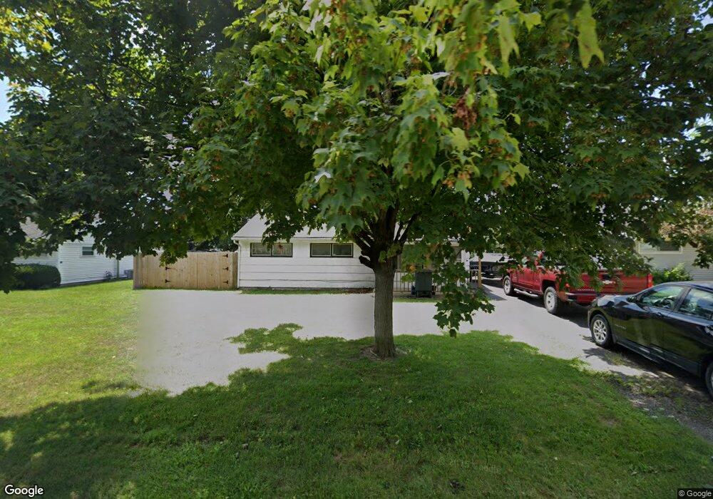
1919 Westfield Dr N Columbus, OH 43223
Estimated Value: $150,015 - $189,000
3
Beds
1
Bath
925
Sq Ft
$183/Sq Ft
Est. Value
About This Home
This home is located at 1919 Westfield Dr N, Columbus, OH 43223 and is currently estimated at $169,504, approximately $183 per square foot. 1919 Westfield Dr N is a home located in Franklin County with nearby schools including Finland Elementary School, Franklin Woods Intermediate School, and Finland Middle School.
Ownership History
Date
Name
Owned For
Owner Type
Purchase Details
Closed on
Sep 1, 2005
Sold by
Mudrak Judith G
Bought by
Mudrak Gregory Lee
Current Estimated Value
Purchase Details
Closed on
Sep 2, 1993
Purchase Details
Closed on
Sep 27, 1991
Create a Home Valuation Report for This Property
The Home Valuation Report is an in-depth analysis detailing your home's value as well as a comparison with similar homes in the area
Home Values in the Area
Average Home Value in this Area
Purchase History
| Date | Buyer | Sale Price | Title Company |
|---|---|---|---|
| Mudrak Gregory Lee | -- | -- | |
| -- | $45,500 | -- | |
| -- | -- | -- |
Source: Public Records
Tax History Compared to Growth
Tax History
| Year | Tax Paid | Tax Assessment Tax Assessment Total Assessment is a certain percentage of the fair market value that is determined by local assessors to be the total taxable value of land and additions on the property. | Land | Improvement |
|---|---|---|---|---|
| 2024 | $2,131 | $41,790 | $7,560 | $34,230 |
| 2023 | $2,120 | $41,790 | $7,560 | $34,230 |
| 2022 | $1,565 | $21,210 | $8,750 | $12,460 |
| 2021 | $1,487 | $21,210 | $8,750 | $12,460 |
| 2020 | $1,484 | $21,210 | $8,750 | $12,460 |
| 2019 | $1,352 | $17,330 | $7,280 | $10,050 |
| 2018 | $1,294 | $17,330 | $7,280 | $10,050 |
| 2017 | $1,338 | $17,330 | $7,280 | $10,050 |
| 2016 | $1,336 | $16,210 | $3,290 | $12,920 |
| 2015 | $1,240 | $16,210 | $3,290 | $12,920 |
| 2014 | $1,241 | $16,210 | $3,290 | $12,920 |
| 2013 | $716 | $19,040 | $3,850 | $15,190 |
Source: Public Records
Map
Nearby Homes
- 1607 Red Leaf Ln
- 1543 Red Leaf Ln
- 2210 October Ridge Dr
- 1417 Fahy Dr
- 1948 Big Run Bluffs Blvd
- 1949 Big Run Bluffs Blvd
- 0 S Central Ave
- 1390 Gray Meadow Dr
- 4745 Big Run Rd E
- 1723 Farberdale Dr
- 1994 Little Ave
- 2336 Woodbrook Cir N Unit 92 B
- 2436 Onyx Ct
- 2362 Woodbrook Cir N Unit 81
- 2180 Eakin Rd
- 1532 Westmeadow Dr
- 1119 Hardesty Place E Unit 1
- 2382 Hardesty Dr S Unit Q-5
- 1085 Hardesty Place E Unit 4
- 2337 Hardesty Ct Unit 1
- 1911 Westfield Dr N
- 1927 Westfield Dr N
- 1920 Marsdale Ave
- 1928 Marsdale Ave
- 1914 Marsdale Ave
- 1905 Westfield Dr N
- 1935 Westfield Dr N
- 1936 Marsdale Ave
- 1918 Westfield Dr N
- 1912 Westfield Dr N
- 1926 Westfield Dr N
- 1942 Marsdale Ave
- 1906 Marsdale Ave
- 1904 Westfield Dr N
- 1895 Westfield Dr N
- 1934 Westfield Dr N
- 1941 Westfield Dr N
- 1950 Marsdale Ave
- 1896 Westfield Dr N
- 1923 Marsdale Ave