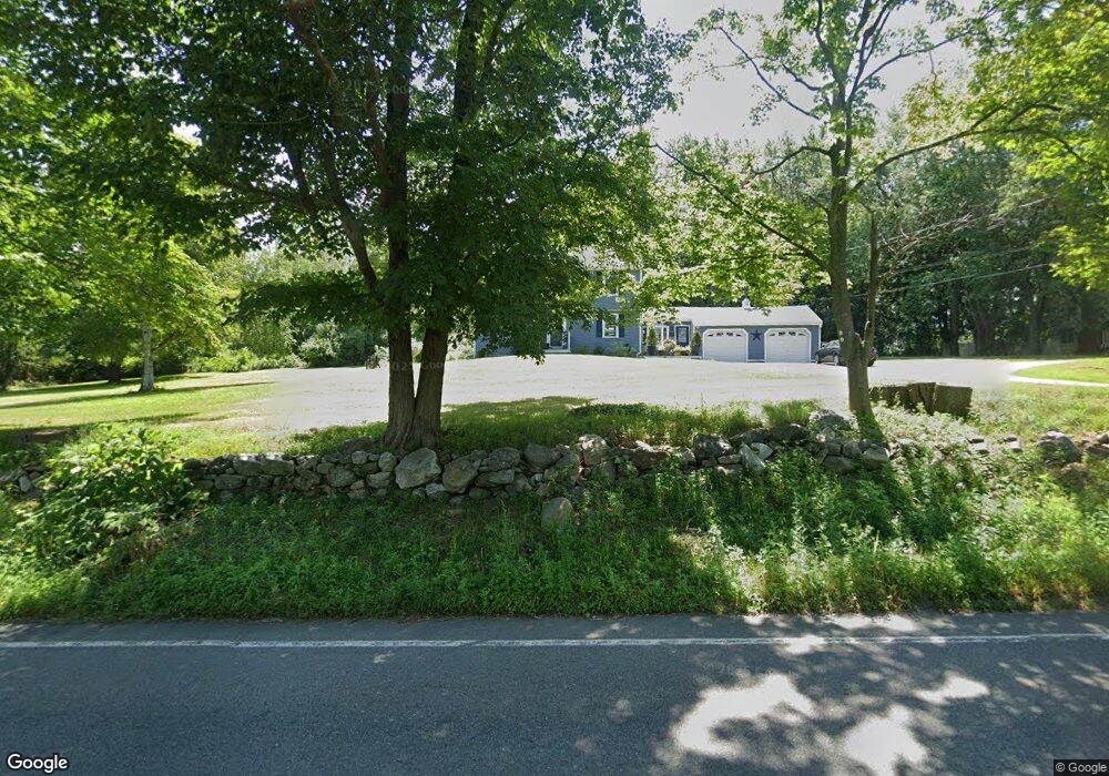
192 Andover St Georgetown, MA 01833
Estimated Value: $685,000 - $791,169
4
Beds
2
Baths
1,666
Sq Ft
$437/Sq Ft
Est. Value
About This Home
This home is located at 192 Andover St, Georgetown, MA 01833 and is currently estimated at $727,292, approximately $436 per square foot. 192 Andover St is a home located in Essex County with nearby schools including Perley Elementary School, Penn Brook School, and Georgetown High School.
Ownership History
Date
Name
Owned For
Owner Type
Purchase Details
Closed on
Sep 3, 1998
Sold by
Norton Frances F and Norton Gordon L
Bought by
Burgoyne Kevin
Current Estimated Value
Home Financials for this Owner
Home Financials are based on the most recent Mortgage that was taken out on this home.
Original Mortgage
$196,600
Outstanding Balance
$41,996
Interest Rate
6.9%
Mortgage Type
Purchase Money Mortgage
Estimated Equity
$685,296
Create a Home Valuation Report for This Property
The Home Valuation Report is an in-depth analysis detailing your home's value as well as a comparison with similar homes in the area
Home Values in the Area
Average Home Value in this Area
Purchase History
| Date | Buyer | Sale Price | Title Company |
|---|---|---|---|
| Burgoyne Kevin | $273,200 | -- |
Source: Public Records
Mortgage History
| Date | Status | Borrower | Loan Amount |
|---|---|---|---|
| Open | Burgoyne Kevin | $100,000 | |
| Closed | Burgoyne Kevin | $75,000 | |
| Closed | Burgoyne Kevin | $25,000 | |
| Open | Burgoyne Kevin | $196,600 |
Source: Public Records
Tax History Compared to Growth
Tax History
| Year | Tax Paid | Tax Assessment Tax Assessment Total Assessment is a certain percentage of the fair market value that is determined by local assessors to be the total taxable value of land and additions on the property. | Land | Improvement |
|---|---|---|---|---|
| 2025 | $7,728 | $698,700 | $280,100 | $418,600 |
| 2024 | $7,031 | $560,200 | $193,300 | $366,900 |
| 2023 | $7,271 | $560,200 | $193,300 | $366,900 |
| 2022 | $5,935 | $421,500 | $168,100 | $253,400 |
| 2021 | $5,751 | $361,900 | $168,100 | $193,800 |
| 2020 | $5,761 | $361,900 | $168,100 | $193,800 |
| 2019 | $5,660 | $358,700 | $164,900 | $193,800 |
| 2018 | $5,655 | $356,100 | $164,900 | $191,200 |
| 2017 | $5,510 | $339,900 | $164,900 | $175,000 |
| 2016 | $5,337 | $336,300 | $164,900 | $171,400 |
| 2015 | $5,346 | $333,500 | $164,900 | $168,600 |
| 2014 | $4,686 | $333,500 | $164,900 | $168,600 |
Source: Public Records
Map
Nearby Homes
- 215 Andover St
- 7 Lakeshore Dr
- 79 Andover St
- 12 Littles Hill Ln
- 91 Lakeshore Dr
- 135 Central St
- 55 W Main St
- 51 W Main St Unit 6
- 206 W Main St Unit 5
- 206 W Main St Unit 4
- 206 W Main St Unit 3
- 206 W Main St Unit 6
- 4 Crescent Meadow Ln
- 201 Central St Unit 1
- 42 Elm St
- 231 W Main St
- 35 Spofford St
- 2 Larch Rd
- 50 Old Jacobs Rd
- 10 Pine Plain Rd
- 200 Andover St
- 199 Andover St
- 187 Andover St
- 197 Andover St
- 184 Andover St
- 4 Baldpate Rd
- 201 Andover St
- 185 Andover St
- 8 Baldpate Rd
- 101 Andover St
- 78 Bailey Ln
- 78 Bailey Ln Unit 2
- 10 Hamilton Terrace
- 5 Baldpate Rd
- 10 Baldpate Rd
- 218 Andover St
- 20 Bradford Loop
- 76 Bailey Ln
- 16 Hamilton Terrace
- 99 Andover St