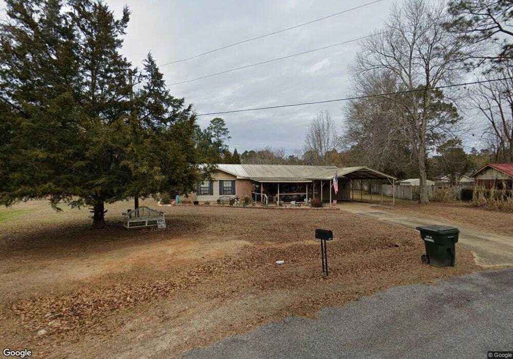
192 Aryola Dr Bainbridge, GA 39817
Estimated Value: $218,663 - $306,000
--
Bed
1
Bath
1,868
Sq Ft
$140/Sq Ft
Est. Value
About This Home
This home is located at 192 Aryola Dr, Bainbridge, GA 39817 and is currently estimated at $261,666, approximately $140 per square foot. 192 Aryola Dr is a home located in Decatur County with nearby schools including Bainbridge High School.
Ownership History
Date
Name
Owned For
Owner Type
Purchase Details
Closed on
Jan 22, 2010
Sold by
Perry Robert Thomas
Bought by
Perry Robert Thomas and Perry Kimberly E
Current Estimated Value
Home Financials for this Owner
Home Financials are based on the most recent Mortgage that was taken out on this home.
Original Mortgage
$109,971
Outstanding Balance
$73,293
Interest Rate
5.25%
Mortgage Type
FHA
Estimated Equity
$188,373
Purchase Details
Closed on
Feb 2, 2006
Sold by
Drake Gene
Bought by
Perry Robert Thomas
Home Financials for this Owner
Home Financials are based on the most recent Mortgage that was taken out on this home.
Original Mortgage
$72,900
Interest Rate
6.14%
Mortgage Type
New Conventional
Create a Home Valuation Report for This Property
The Home Valuation Report is an in-depth analysis detailing your home's value as well as a comparison with similar homes in the area
Home Values in the Area
Average Home Value in this Area
Purchase History
| Date | Buyer | Sale Price | Title Company |
|---|---|---|---|
| Perry Robert Thomas | -- | -- | |
| Perry Robert Thomas | $75,200 | -- |
Source: Public Records
Mortgage History
| Date | Status | Borrower | Loan Amount |
|---|---|---|---|
| Open | Perry Robert Thomas | $109,971 | |
| Closed | Perry Robert Thomas | $72,900 |
Source: Public Records
Tax History Compared to Growth
Tax History
| Year | Tax Paid | Tax Assessment Tax Assessment Total Assessment is a certain percentage of the fair market value that is determined by local assessors to be the total taxable value of land and additions on the property. | Land | Improvement |
|---|---|---|---|---|
| 2024 | $1,975 | $67,594 | $4,000 | $63,594 |
| 2023 | $1,552 | $67,594 | $4,000 | $63,594 |
| 2022 | $1,772 | $62,902 | $4,000 | $58,902 |
| 2021 | $1,715 | $59,840 | $4,000 | $55,840 |
| 2020 | $1,577 | $52,480 | $4,000 | $48,480 |
| 2019 | $1,252 | $40,600 | $4,000 | $36,600 |
| 2018 | $1,236 | $40,600 | $4,000 | $36,600 |
| 2017 | $1,274 | $40,600 | $4,000 | $36,600 |
| 2016 | $1,211 | $40,600 | $4,000 | $36,600 |
| 2015 | $1,228 | $40,600 | $4,000 | $36,600 |
| 2014 | $1,071 | $40,600 | $4,000 | $36,600 |
| 2013 | -- | $40,600 | $4,000 | $36,600 |
Source: Public Records
Map
Nearby Homes
- 104 Brock St
- 116 Flint River Heights Rd
- Tract 1 Rivervale Dr
- 150 Rivervale Dr
- 116 Rivervale Dr
- 0 Pine St Unit 10993
- 757 Manhole Rd
- 00 Manhole Rd
- 533 Flint River Heights Rd
- 2137 Pondtown Rd
- 287 Cloverleaf Cir
- 000 E River Rd
- 467 745 Lot St N
- 1302 Majestic Ave
- 604 Martin St
- 2036 Lexington Ave
- 2032 Lexington Ave
- 1603 Plantation Rd
- 1606 Hemlock St
- 1302 Talmadge St