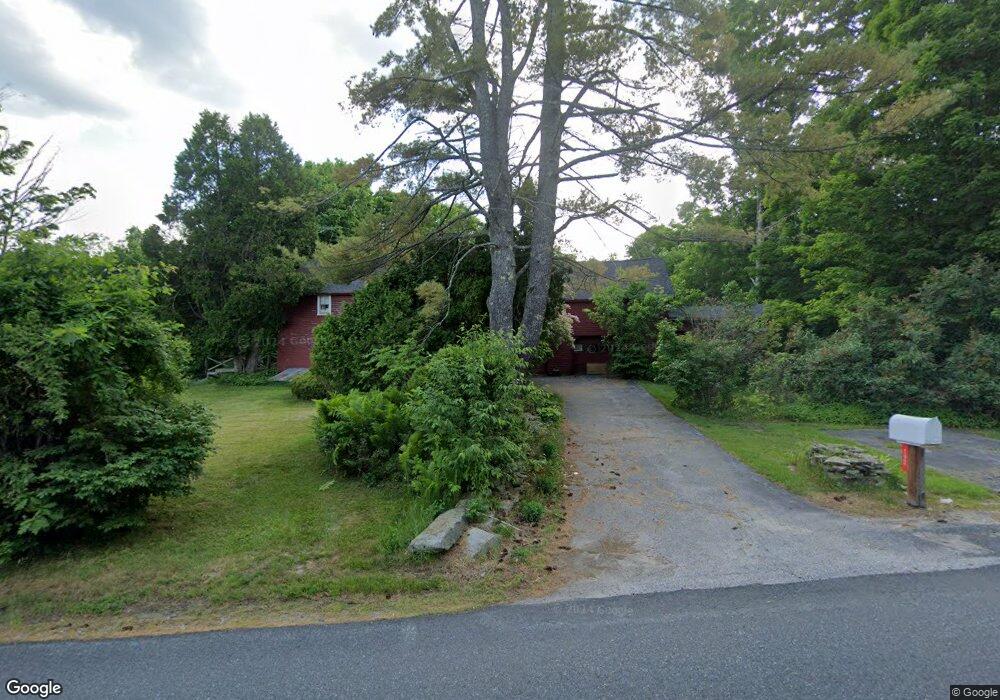
192 Barton Whitney Rd Newport, NH 03773
Estimated Value: $528,000 - $741,000
5
Beds
2
Baths
3,427
Sq Ft
$188/Sq Ft
Est. Value
About This Home
This home is located at 192 Barton Whitney Rd, Newport, NH 03773 and is currently estimated at $643,364, approximately $187 per square foot. 192 Barton Whitney Rd is a home located in Sullivan County with nearby schools including Richards Elementary School, Newport High School, and Newport Montessori School.
Ownership History
Date
Name
Owned For
Owner Type
Purchase Details
Closed on
Feb 17, 2006
Sold by
Eileen D Weisner Lt
Bought by
Weisner Catherine A
Current Estimated Value
Home Financials for this Owner
Home Financials are based on the most recent Mortgage that was taken out on this home.
Original Mortgage
$170,000
Interest Rate
6.23%
Mortgage Type
Purchase Money Mortgage
Create a Home Valuation Report for This Property
The Home Valuation Report is an in-depth analysis detailing your home's value as well as a comparison with similar homes in the area
Home Values in the Area
Average Home Value in this Area
Purchase History
| Date | Buyer | Sale Price | Title Company |
|---|---|---|---|
| Weisner Catherine A | $357,000 | -- |
Source: Public Records
Mortgage History
| Date | Status | Borrower | Loan Amount |
|---|---|---|---|
| Closed | Weisner Catherine A | $170,000 |
Source: Public Records
Tax History Compared to Growth
Tax History
| Year | Tax Paid | Tax Assessment Tax Assessment Total Assessment is a certain percentage of the fair market value that is determined by local assessors to be the total taxable value of land and additions on the property. | Land | Improvement |
|---|---|---|---|---|
| 2024 | $9,109 | $374,721 | $144,821 | $229,900 |
| 2023 | $8,850 | $375,335 | $145,435 | $229,900 |
| 2022 | $7,843 | $375,271 | $145,371 | $229,900 |
| 2021 | $6,285 | $190,441 | $83,641 | $106,800 |
| 2020 | $6,307 | $190,553 | $83,753 | $106,800 |
| 2019 | $6,213 | $190,990 | $84,190 | $106,800 |
| 2018 | $5,813 | $191,230 | $84,430 | $106,800 |
| 2017 | $5,732 | $190,820 | $84,020 | $106,800 |
| 2016 | $5,985 | $208,329 | $77,829 | $130,500 |
| 2015 | $6,102 | $208,603 | $78,103 | $130,500 |
| 2014 | $6,587 | $208,189 | $77,689 | $130,500 |
| 2013 | $6,260 | $208,740 | $83,840 | $124,900 |
Source: Public Records
Map
Nearby Homes
- 736 John Stark Hwy
- 680-2 John Stark Hwy
- 430 John Stark Hwy
- 300 E Green Mountain Rd
- 381 E Green Mountain Rd
- 342 E Green Mountain Rd
- 00 E Green Mountain Rd Unit 13
- 003 E Green Mountain Rd
- 002 E Green Mountain Rd
- 001 E Green Mountain Rd
- 225 Sugar River Dr
- 13 Fairbanks Rd
- 11 Putnam Rd
- 98 & 102 Washington St
- 146 Elm St
- 0 Cat Hole Rd Unit 5052634
- 39 Myrtle St
- 12 4th St
- 140 and 146 N Main St
- 151 Cheney St
- 220 Barton Whitney Rd
- 140 Barton Whitney Rd
- 80 Old Gove Rd
- Lot 80 Old Gove Rd
- 104 Barton Whitney Rd
- 95 Barton Whitney Rd
- 94 Barton Whitney Rd
- 286 Blueberry Ridge Rd
- 28 Ram Brook Rd
- 79 Barton Whitney Rd
- 8 Ram Brook Rd
- 300 Barton Whitney Rd
- 11 Ram Brook Rd
- 27 Ram Brook Rd
- 6 Barton Whitney Rd
- 49 Barton Whitney Rd
- 47 Barton Whitney Rd
- 135 Gove Rd
- 15 Ram Brook Rd
- 600 E Green Mountain Rd