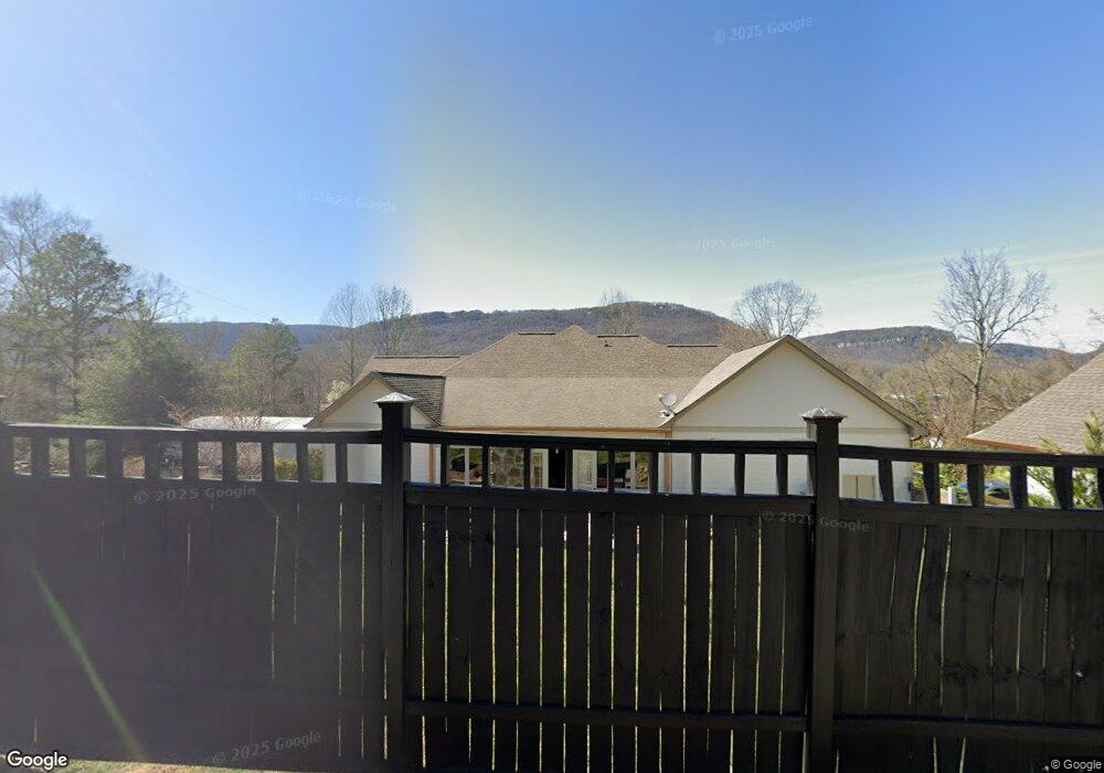
192 Cain St Dunlap, TN 37327
Estimated Value: $404,000 - $500,000
Studio
1
Bath
2,605
Sq Ft
$174/Sq Ft
Est. Value
About This Home
This home is located at 192 Cain St, Dunlap, TN 37327 and is currently estimated at $454,515, approximately $174 per square foot. 192 Cain St is a home with nearby schools including Griffith Elementary School, Sequatchie County Middle School, and Sequatchie County High School.
Ownership History
Date
Name
Owned For
Owner Type
Purchase Details
Closed on
Aug 19, 2016
Sold by
Thomas Michel
Bought by
Cain Jordan
Current Estimated Value
Home Financials for this Owner
Home Financials are based on the most recent Mortgage that was taken out on this home.
Original Mortgage
$51,300
Outstanding Balance
$40,642
Interest Rate
3.43%
Estimated Equity
$413,873
Purchase Details
Closed on
Nov 11, 2012
Sold by
Cain G W Heirs
Bought by
Hixson Cain Jordan
Create a Home Valuation Report for This Property
The Home Valuation Report is an in-depth analysis detailing your home's value as well as a comparison with similar homes in the area
Home Values in the Area
Average Home Value in this Area
Purchase History
| Date | Buyer | Sale Price | Title Company |
|---|---|---|---|
| Cain Jordan | -- | -- | |
| Hixson Cain Jordan | -- | -- |
Source: Public Records
Mortgage History
| Date | Status | Borrower | Loan Amount |
|---|---|---|---|
| Open | Hixson Cain Jordan | $51,300 | |
| Closed | Hixson Cain Jordan | -- |
Source: Public Records
Tax History
| Year | Tax Paid | Tax Assessment Tax Assessment Total Assessment is a certain percentage of the fair market value that is determined by local assessors to be the total taxable value of land and additions on the property. | Land | Improvement |
|---|---|---|---|---|
| 2025 | -- | $112,200 | $3,075 | $109,125 |
| 2024 | $2,518 | $104,250 | $3,075 | $101,175 |
| 2023 | $2,518 | $104,250 | $3,075 | $101,175 |
| 2022 | $2,117 | $63,800 | $3,175 | $60,625 |
| 2021 | $2,085 | $63,800 | $3,175 | $60,625 |
| 2020 | $2,085 | $63,800 | $3,175 | $60,625 |
| 2019 | $2,085 | $63,800 | $3,175 | $60,625 |
| 2018 | $2,061 | $63,800 | $3,175 | $60,625 |
| 2017 | $1,886 | $59,025 | $3,175 | $55,850 |
| 2016 | $1,851 | $55,575 | $3,500 | $52,075 |
| 2015 | $1,851 | $55,575 | $3,500 | $52,075 |
| 2014 | $1,851 | $55,575 | $3,500 | $52,075 |
Source: Public Records
Map
Nearby Homes
- Lot 36 River Ridge Dr
- 267 Williams Rd
- 217 A Day Dream Dr
- 453 Hill Cir
- 2 Fredonia Rd
- 3 Fredonia Rd
- 5 Fredonia Rd
- 1 Fredonia Rd
- 95 A Main St
- 481 Tram Trail
- 0 Fredonia Loop
- 11342 Fredonia Rd
- 21 Fredonia Rd
- 0 State Rt 399 Lot 13
- 79 Bear Oak Dr
- 0 SE US Hwy 127 Unit 1519993
- 0 SE US Hwy 127 Unit 1519990
- 0 SE US Hwy 127 Unit 1519988
- 0 SE US Hwy 127 Unit 1314389
- 0 SE US Hwy 127 Unit 1519979
Your Personal Tour Guide
Ask me questions while you tour the home.