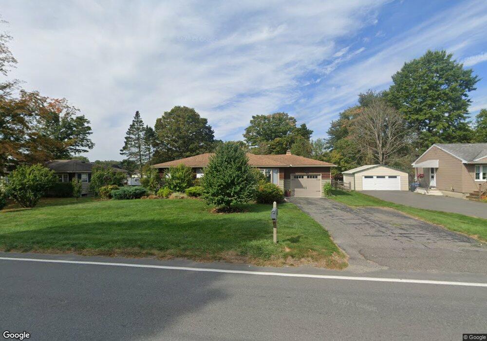
192 Dalton Division Rd Pittsfield, MA 01201
Estimated Value: $262,000 - $291,000
3
Beds
1
Bath
1,092
Sq Ft
$251/Sq Ft
Est. Value
About This Home
This home is located at 192 Dalton Division Rd, Pittsfield, MA 01201 and is currently estimated at $274,041, approximately $250 per square foot. 192 Dalton Division Rd is a home located in Berkshire County with nearby schools including Williams Elementary School, Theodore Herberg Middle School, and St. Agnes Academy.
Ownership History
Date
Name
Owned For
Owner Type
Purchase Details
Closed on
Jun 14, 2017
Sold by
Kowalczyk Joseph W and Kowalczyk David L
Bought by
Shea Margaret H
Current Estimated Value
Home Financials for this Owner
Home Financials are based on the most recent Mortgage that was taken out on this home.
Original Mortgage
$76,415
Outstanding Balance
$60,884
Interest Rate
2.75%
Mortgage Type
New Conventional
Estimated Equity
$213,157
Create a Home Valuation Report for This Property
The Home Valuation Report is an in-depth analysis detailing your home's value as well as a comparison with similar homes in the area
Home Values in the Area
Average Home Value in this Area
Purchase History
| Date | Buyer | Sale Price | Title Company |
|---|---|---|---|
| Shea Margaret H | $85,000 | -- | |
| Shea Margaret H | $85,000 | -- | |
| Shea Margaret H | $85,000 | -- |
Source: Public Records
Mortgage History
| Date | Status | Borrower | Loan Amount |
|---|---|---|---|
| Open | Shea Margaret H | $76,415 | |
| Closed | Shea Margaret H | $76,415 |
Source: Public Records
Tax History Compared to Growth
Tax History
| Year | Tax Paid | Tax Assessment Tax Assessment Total Assessment is a certain percentage of the fair market value that is determined by local assessors to be the total taxable value of land and additions on the property. | Land | Improvement |
|---|---|---|---|---|
| 2025 | $4,185 | $233,300 | $65,600 | $167,700 |
| 2024 | $3,983 | $215,900 | $65,600 | $150,300 |
| 2023 | $3,748 | $204,600 | $65,600 | $139,000 |
| 2022 | $3,460 | $186,400 | $65,600 | $120,800 |
| 2021 | $3,284 | $170,600 | $65,600 | $105,000 |
| 2020 | $3,294 | $167,100 | $65,600 | $101,500 |
| 2019 | $3,383 | $174,200 | $70,600 | $103,600 |
| 2018 | $3,344 | $167,100 | $65,600 | $101,500 |
| 2017 | $3,043 | $155,000 | $57,100 | $97,900 |
| 2016 | $2,953 | $157,400 | $57,100 | $100,300 |
| 2015 | $2,843 | $157,400 | $57,100 | $100,300 |
Source: Public Records
Map
Nearby Homes
- 18 Pleasantview Dr
- 13 Pleasantview Dr
- 1106 South St
- 80 Mcintosh Dr
- 1 Pondview Dr Unit C3
- 304 Dalton Division Rd
- 0 Dalton Division Rd
- 100 Elaine Dr
- 171 Pine Grove Dr
- 171 Harryel St
- 189 Doreen St
- 0 Crane Ave
- 50 Grand Ave
- 28 Jayne Ave
- 9 Crane Ave
- 87 Maryland Ave
- 26 Leona Dr
- 989 Williams St
- 932 Williams St
- 326 Dalton Ave
- 182 Dalton Division Rd
- 196 Dalton Division Rd
- 196 Mcintosh Dr
- 178 Dalton Division Rd
- 190 Mcintosh Dr
- 200 Dalton Division Rd
- 208 Mcintosh Dr
- 55 Dalton Division Rd
- 30 Dalton Division Rd
- 42 Dalton Division Rd
- 172 Dalton Division Rd
- 18 Dalton Divide
- 24 Dalton Division Rd
- 214 Mcintosh Dr
- 208 Dalton Division Rd
- 48 Dalton Division Rd
- 18 Dalton Division Rd
- 166 Dalton Division Rd
- 71 Greenings Ave
- 56 Greenings Ave