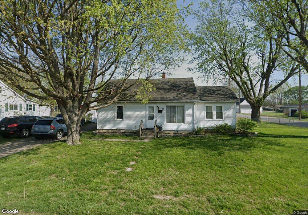
192 Lynhurst St Franklin, IN 46131
Estimated Value: $153,618 - $196,000
2
Beds
1
Bath
888
Sq Ft
$197/Sq Ft
Est. Value
About This Home
This home is located at 192 Lynhurst St, Franklin, IN 46131 and is currently estimated at $175,155, approximately $197 per square foot. 192 Lynhurst St is a home located in Johnson County with nearby schools including Northwood Elementary School, Franklin Community Middle School, and Custer Baker Intermediate School.
Ownership History
Date
Name
Owned For
Owner Type
Purchase Details
Closed on
Jun 29, 2018
Sold by
Kean Roger L
Bought by
Hughes Larry W and Hughes Manilla K
Current Estimated Value
Purchase Details
Closed on
Feb 9, 2018
Sold by
Hodge Michele R
Bought by
Kean Roger L
Purchase Details
Closed on
Feb 27, 2009
Sold by
Lee James David
Bought by
Kean Roger L and Kean Michele R
Home Financials for this Owner
Home Financials are based on the most recent Mortgage that was taken out on this home.
Original Mortgage
$44,000
Interest Rate
5.14%
Mortgage Type
New Conventional
Create a Home Valuation Report for This Property
The Home Valuation Report is an in-depth analysis detailing your home's value as well as a comparison with similar homes in the area
Home Values in the Area
Average Home Value in this Area
Purchase History
| Date | Buyer | Sale Price | Title Company |
|---|---|---|---|
| Hughes Larry W | -- | None Available | |
| Kean Roger L | -- | -- | |
| Kean Roger L | -- | None Available |
Source: Public Records
Mortgage History
| Date | Status | Borrower | Loan Amount |
|---|---|---|---|
| Previous Owner | Kean Roger L | $44,000 |
Source: Public Records
Tax History Compared to Growth
Tax History
| Year | Tax Paid | Tax Assessment Tax Assessment Total Assessment is a certain percentage of the fair market value that is determined by local assessors to be the total taxable value of land and additions on the property. | Land | Improvement |
|---|---|---|---|---|
| 2025 | $1,945 | $106,600 | $18,700 | $87,900 |
| 2024 | $1,945 | $87,900 | $19,100 | $68,800 |
| 2023 | $1,963 | $88,200 | $19,100 | $69,100 |
| 2022 | $1,967 | $88,200 | $19,100 | $69,100 |
| 2021 | $1,690 | $75,800 | $17,300 | $58,500 |
| 2020 | $1,485 | $66,600 | $13,500 | $53,100 |
| 2019 | $1,485 | $66,600 | $13,500 | $53,100 |
| 2018 | $1,115 | $54,800 | $9,600 | $45,200 |
| 2017 | $1,134 | $56,700 | $9,600 | $47,100 |
| 2016 | $1,676 | $56,700 | $9,600 | $47,100 |
| 2014 | $1,678 | $83,900 | $31,600 | $52,300 |
| 2013 | $1,678 | $84,100 | $31,600 | $52,500 |
Source: Public Records
Map
Nearby Homes
- 123 14th St
- 1450 Roberts Rd
- 751 Graham St
- 1624 Roberts Rd
- 351 Cincinnati St
- 698 Yandes St
- 651 Hamilton Ave
- 750 Hurricane St
- 550 Howe St
- 348 Ohio St
- 298 N Water St
- 199 Walnut St
- 147 E King St
- 0 W 900 Hwy Unit 202537998
- 1804 Acorn Rd
- 991 Ravine Dr
- 178 S Water St Unit F
- 76 E Wayne St Unit B
- 1115 Cobra Dr
- 252 S Main St
- 1248 Younce St
- 172 Lynhurst St
- 191 Lynhurst St
- 200 Lynhurst St
- 162 Lynhurst St
- 187 Lynhurst St
- 1249 Younce St
- 1199 Younce St
- 199 Circle Dr
- 181 Circle Dr
- 152 Lynhurst St
- 218 Lynhurst St
- 171 Circle Dr
- 142 Lynhurst St
- 211 Lynhurst St
- 161 Circle Dr
- 201 Circle Dr
- 171 Lynhurst St
- 1151 Younce St
- 222 Lynhurst St