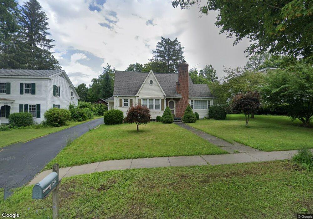
192 Main St Middleburgh, NY 12122
Estimated Value: $256,182 - $302,000
3
Beds
2
Baths
1,670
Sq Ft
$167/Sq Ft
Est. Value
About This Home
This home is located at 192 Main St, Middleburgh, NY 12122 and is currently estimated at $279,296, approximately $167 per square foot. 192 Main St is a home located in Schoharie County with nearby schools including Middleburgh Elementary School, Middleburgh High School, and Country Classroom.
Ownership History
Date
Name
Owned For
Owner Type
Purchase Details
Closed on
May 8, 2009
Sold by
Washburn Bruce
Bought by
Townsend Richard
Current Estimated Value
Home Financials for this Owner
Home Financials are based on the most recent Mortgage that was taken out on this home.
Original Mortgage
$108,500
Outstanding Balance
$62,106
Interest Rate
4.93%
Mortgage Type
Purchase Money Mortgage
Estimated Equity
$217,190
Purchase Details
Closed on
Jan 23, 2006
Sold by
Roland Jacalyn
Bought by
Dewitt Barbara
Purchase Details
Closed on
Dec 9, 1997
Sold by
White John L
Bought by
Putman Christopher L and Putman Kim F
Create a Home Valuation Report for This Property
The Home Valuation Report is an in-depth analysis detailing your home's value as well as a comparison with similar homes in the area
Home Values in the Area
Average Home Value in this Area
Purchase History
| Date | Buyer | Sale Price | Title Company |
|---|---|---|---|
| Townsend Richard | $178,500 | Daniel Ross | |
| Dewitt Barbara | -- | Joyce Zeitler | |
| Putman Christopher L | $89,999 | -- |
Source: Public Records
Mortgage History
| Date | Status | Borrower | Loan Amount |
|---|---|---|---|
| Open | Townsend Richard | $108,500 |
Source: Public Records
Tax History
| Year | Tax Paid | Tax Assessment Tax Assessment Total Assessment is a certain percentage of the fair market value that is determined by local assessors to be the total taxable value of land and additions on the property. | Land | Improvement |
|---|---|---|---|---|
| 2024 | $7,799 | $116,600 | $12,500 | $104,100 |
| 2023 | $6,835 | $116,600 | $12,500 | $104,100 |
| 2022 | $5,907 | $116,600 | $12,500 | $104,100 |
| 2021 | $6,499 | $116,600 | $12,500 | $104,100 |
| 2020 | $5,623 | $116,600 | $12,500 | $104,100 |
| 2019 | $5,536 | $116,600 | $12,500 | $104,100 |
| 2018 | $5,536 | $116,600 | $12,500 | $104,100 |
| 2017 | $5,497 | $116,600 | $12,500 | $104,100 |
| 2016 | $5,453 | $116,600 | $12,500 | $104,100 |
| 2015 | -- | $116,600 | $12,500 | $104,100 |
| 2014 | -- | $116,600 | $12,500 | $104,100 |
Source: Public Records
Map
Nearby Homes
- 233 Main St
- 0 - L16 Mount Path
- L16 Mount Path
- 00WP Cotton Hill Rd
- 0 Gorge Rd
- 146 Warrior Way
- 157 Grove St
- 115 Marjorie Ln Unit 3
- 106 Grove St
- 136 Wells Ave
- 107 Railroad Ave
- 319 Main St
- L14.12 New York 30
- 103 Middlefort Rd
- 000 Huntersland Rd
- 130 Marjorie Ln
- 133 Marjorie Ln Unit 4
- 133 Marjorie Ln Unit 1
- 133 Marjorie Ln Unit 3
- 133 Marjorie Ln Unit 2
Your Personal Tour Guide
Ask me questions while you tour the home.