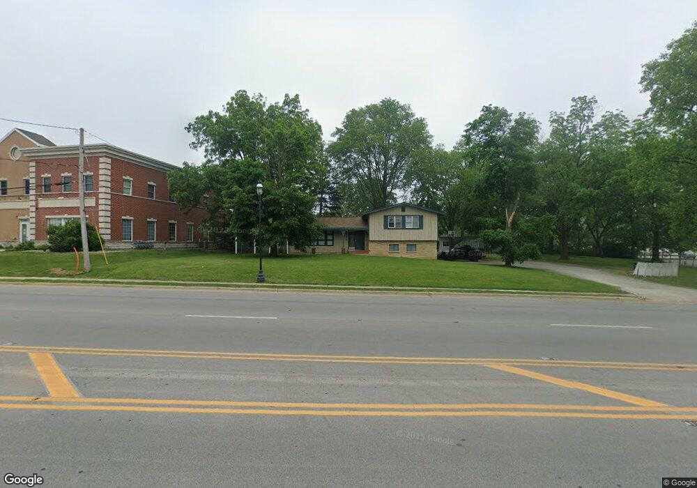
192 Main St NW Bourbonnais, IL 60914
Estimated Value: $188,000 - $264,000
7
Beds
--
Bath
--
Sq Ft
42,123
Sq Ft
About This Home
This home is located at 192 Main St NW, Bourbonnais, IL 60914 and is currently estimated at $235,215. 192 Main St NW is a home located in Kankakee County with nearby schools including Alan B. Shepard Elementary School, Liberty Intermediate School, and Bourbonnais Upper Grade Center.
Ownership History
Date
Name
Owned For
Owner Type
Purchase Details
Closed on
Sep 20, 2017
Sold by
Rosenboom Roland E
Bought by
Lalumendre Rob and Lalumendre Jennifer
Current Estimated Value
Home Financials for this Owner
Home Financials are based on the most recent Mortgage that was taken out on this home.
Original Mortgage
$108,992
Outstanding Balance
$73,939
Interest Rate
3.89%
Mortgage Type
New Conventional
Estimated Equity
$161,276
Create a Home Valuation Report for This Property
The Home Valuation Report is an in-depth analysis detailing your home's value as well as a comparison with similar homes in the area
Home Values in the Area
Average Home Value in this Area
Purchase History
| Date | Buyer | Sale Price | Title Company |
|---|---|---|---|
| Lalumendre Rob | $136,500 | Homestar Title Company |
Source: Public Records
Mortgage History
| Date | Status | Borrower | Loan Amount |
|---|---|---|---|
| Open | Lalumendre Rob | $108,992 |
Source: Public Records
Tax History
| Year | Tax Paid | Tax Assessment Tax Assessment Total Assessment is a certain percentage of the fair market value that is determined by local assessors to be the total taxable value of land and additions on the property. | Land | Improvement |
|---|---|---|---|---|
| 2024 | $5,708 | $68,680 | $7,909 | $60,771 |
| 2023 | $5,252 | $63,592 | $7,323 | $56,269 |
| 2022 | $5,140 | $59,713 | $7,058 | $52,655 |
| 2021 | $5,059 | $58,399 | $6,903 | $51,496 |
| 2020 | $4,892 | $55,376 | $6,718 | $48,658 |
| 2019 | $4,600 | $51,513 | $6,522 | $44,991 |
| 2018 | $4,322 | $48,243 | $6,426 | $41,817 |
| 2017 | $4,138 | $45,878 | $6,269 | $39,609 |
| 2016 | $4,000 | $44,435 | $6,176 | $38,259 |
| 2015 | $3,847 | $42,191 | $6,115 | $36,076 |
| 2014 | $4,412 | $50,390 | $6,115 | $44,275 |
| 2013 | -- | $51,047 | $6,115 | $44,932 |
Source: Public Records
Map
Nearby Homes
- 132 N Tetrault Ave
- 417 E Beaudoin St
- 482 S Rivard St
- 179 N Levasseur Ave
- 440 S Cryer Ave
- 250 N Levasseur Ave
- 292 Ashley Ave
- 691 W River St
- 508 N Forest Ave
- 830 W River St
- 754 River Place Dr
- 901 W North St
- Lot 5/5A Almar Pkwy
- 703 Heritage Dr
- 899 Armour Rd
- 260 W Country Ct
- 411 N Prairie Ave
- lot Briarcliff Ln
- 5 Inverness Dr
- 817 Stonewall Dr
- 192 Main St NW
- Lot 3 Rt 102
- 107 Bernard St
- 151 Bernard St
- 143 Bernard St
- 127 Bernard St
- 232 Main St NW Unit 101C
- 232 Main St NW Unit 203
- 232 Main St NW Unit 103
- 145 Main St NW
- 145 Main St NW
- 117 Bernard St
- 163 Bernard St
- 173 Bernard St
- 109 W Marsile St
- 121 W Marsile St
- 187 Bernard St
- 193 Bernard St
- 209 W Marsile St
- 203 Bernard St Unit 207
Your Personal Tour Guide
Ask me questions while you tour the home.