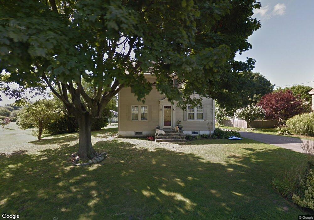
192 Morrison Ave Middletown, RI 02842
Estimated Value: $745,304 - $1,112,000
3
Beds
2
Baths
1,736
Sq Ft
$545/Sq Ft
Est. Value
About This Home
This home is located at 192 Morrison Ave, Middletown, RI 02842 and is currently estimated at $945,576, approximately $544 per square foot. 192 Morrison Ave is a home located in Newport County with nearby schools including Middletown High School, St Michael's Country Day School, and St George's School.
Ownership History
Date
Name
Owned For
Owner Type
Purchase Details
Closed on
Jul 24, 2020
Sold by
Kosegarten Ronald D and Peirson Michelle C
Bought by
Kosegarten Ronald D and Peirson Michelle C
Current Estimated Value
Home Financials for this Owner
Home Financials are based on the most recent Mortgage that was taken out on this home.
Original Mortgage
$247,000
Outstanding Balance
$218,534
Interest Rate
3.1%
Mortgage Type
New Conventional
Estimated Equity
$727,042
Purchase Details
Closed on
Aug 17, 1994
Sold by
Furtado Joseph S Est
Bought by
Kosegarten Ronald Doug
Create a Home Valuation Report for This Property
The Home Valuation Report is an in-depth analysis detailing your home's value as well as a comparison with similar homes in the area
Home Values in the Area
Average Home Value in this Area
Purchase History
| Date | Buyer | Sale Price | Title Company |
|---|---|---|---|
| Kosegarten Ronald D | -- | None Available | |
| Kosegarten Ronald D | -- | None Available | |
| Kosegarten Ronald Doug | $54,000 | -- | |
| Kosegarten Ronald Doug | $54,000 | -- |
Source: Public Records
Mortgage History
| Date | Status | Borrower | Loan Amount |
|---|---|---|---|
| Open | Kosegarten Ronald D | $247,000 | |
| Closed | Kosegarten Ronald D | $247,000 | |
| Previous Owner | Kosegarten Ronald Doug | $280,000 | |
| Previous Owner | Kosegarten Ronald Doug | $143,000 | |
| Previous Owner | Kosegarten Ronald Doug | $40,000 |
Source: Public Records
Tax History Compared to Growth
Tax History
| Year | Tax Paid | Tax Assessment Tax Assessment Total Assessment is a certain percentage of the fair market value that is determined by local assessors to be the total taxable value of land and additions on the property. | Land | Improvement |
|---|---|---|---|---|
| 2025 | $8,062 | $683,800 | $407,200 | $276,600 |
| 2024 | $7,700 | $683,800 | $407,200 | $276,600 |
| 2023 | $6,393 | $507,800 | $301,300 | $206,500 |
| 2022 | $6,104 | $507,800 | $301,300 | $206,500 |
| 2021 | $6,104 | $507,800 | $301,300 | $206,500 |
| 2020 | $5,695 | $413,900 | $232,900 | $181,000 |
| 2018 | $5,691 | $413,900 | $232,900 | $181,000 |
| 2016 | $5,719 | $370,900 | $212,200 | $158,700 |
| 2015 | $5,578 | $370,900 | $212,200 | $158,700 |
| 2014 | $5,608 | $349,000 | $193,800 | $155,200 |
| 2013 | $5,483 | $349,000 | $193,800 | $155,200 |
Source: Public Records
Map
Nearby Homes
- 0 Wolcott Ave
- 0 Honeyman Ave
- 202 Reservoir Rd
- 476 Green End Ave
- 118 Wolcott Ave
- 55 John Clarke Rd Unit 8
- 55 John Clarke Rd Unit 3
- 65 Seascape Ave
- 318 Corey Ln
- 162 Center Ave
- 310 Corey Ln
- 84 Allston Ave
- 119 Corey Ln
- 980 Green End Ave
- 138 Green End Ave
- 16 Sachuest Dr
- 223 Corey Ln
- 141 Gray Craig Rd
- 0 Saltwood Dr
- 36 Kay Blvd
- 202 Morrison Ave
- 186 Morrison Ave
- 214A Morrison Ave
- 214 Morrison Ave
- 205 Morrison Ave
- 220 Morrison Ave
- 495 Aquidneck Ave
- 375 Compton View Dr
- 230 Morrison Ave
- 233 Morrison Ave
- 163 Morrison Ave
- 497 Aquidneck Ave
- 527 Aquidneck Ave
- 485 Aquidneck Ave
- 535 Aquidneck Ave
- 481 Aquidneck Ave
- 505 Aquidneck Ave
- 217 Morrison Ave
- 197 Morrison Ave
- 156 Morrison Ave