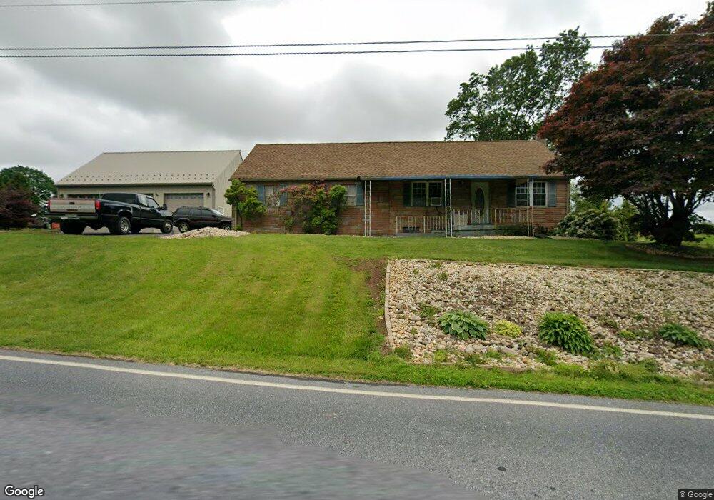
192 Mowery Rd Jonestown, PA 17038
Swatara NeighborhoodEstimated Value: $200,831 - $268,000
2
Beds
2
Baths
672
Sq Ft
$331/Sq Ft
Est. Value
About This Home
This home is located at 192 Mowery Rd, Jonestown, PA 17038 and is currently estimated at $222,708, approximately $331 per square foot. 192 Mowery Rd is a home located in Lebanon County with nearby schools including Northern Lebanon Senior High School, Blue Mountain Christian School, and Jonestown Mennonite School.
Ownership History
Date
Name
Owned For
Owner Type
Purchase Details
Closed on
Jun 6, 2025
Sold by
Heffner Jason M and Heffner Kelly J
Bought by
Heffner Jason
Current Estimated Value
Home Financials for this Owner
Home Financials are based on the most recent Mortgage that was taken out on this home.
Original Mortgage
$83,500
Outstanding Balance
$83,284
Interest Rate
6.76%
Mortgage Type
New Conventional
Estimated Equity
$139,424
Create a Home Valuation Report for This Property
The Home Valuation Report is an in-depth analysis detailing your home's value as well as a comparison with similar homes in the area
Home Values in the Area
Average Home Value in this Area
Purchase History
| Date | Buyer | Sale Price | Title Company |
|---|---|---|---|
| Heffner Jason | -- | None Listed On Document | |
| Heffner Jason | -- | None Listed On Document |
Source: Public Records
Mortgage History
| Date | Status | Borrower | Loan Amount |
|---|---|---|---|
| Open | Heffner Jason | $83,500 | |
| Closed | Heffner Jason | $83,500 |
Source: Public Records
Tax History Compared to Growth
Tax History
| Year | Tax Paid | Tax Assessment Tax Assessment Total Assessment is a certain percentage of the fair market value that is determined by local assessors to be the total taxable value of land and additions on the property. | Land | Improvement |
|---|---|---|---|---|
| 2025 | $2,505 | $108,500 | $33,600 | $74,900 |
| 2024 | $2,197 | $108,500 | $33,600 | $74,900 |
| 2023 | $2,197 | $108,500 | $33,600 | $74,900 |
| 2022 | $2,029 | $103,400 | $33,600 | $69,800 |
| 2021 | $1,911 | $103,400 | $33,600 | $69,800 |
| 2020 | $1,876 | $103,400 | $33,600 | $69,800 |
| 2019 | $1,848 | $103,400 | $33,600 | $69,800 |
| 2018 | $1,807 | $103,400 | $33,600 | $69,800 |
| 2017 | $451 | $103,400 | $33,600 | $69,800 |
| 2016 | $1,730 | $103,400 | $33,600 | $69,800 |
| 2015 | -- | $103,400 | $33,600 | $69,800 |
| 2014 | -- | $103,400 | $33,600 | $69,800 |
Source: Public Records
Map
Nearby Homes
- 303 W Main St
- 313 Airport Rd
- 339 Lighthouse Dr
- 13 Willowcreek Ave U-0039 Ave
- 285 Werner Rd
- 204 Lighthouse Dr
- 206 Lighthouse Dr
- 201 Mountain Dr
- 2860 22 Us Highway 22 and 3
- 0 Darkes Rd Unit PALN2019172
- 157 N Center St
- 114 E Main St
- 27 E Hill St
- 144 E Main St
- 210 E Hazel St
- 2258 Quarry Rd
- 2301 Quarry Rd
- 142 W Market St
- 2255 Quarry Rd
- 2963 Pennsylvania 72
- 204 Mowery Rd
- 165 Mowery Rd
- 11 Light St
- 0 Mowery Rd Unit 1003787559
- 0 Mowery Rd Unit 1002727493
- 0 Mowery Rd Unit 3
- 210 Mowery Rd
- 165 Moore Rd
- 25 Light St
- 238 Mowery Rd
- 628 Lickdale Rd
- 23 Leeper Ln
- 137 Mowery Rd
- 26 Leeper Ln
- LOT 1 Mowery Rd
- 36 Leeper Ln
- 133 Mowery Rd
- LOT 2 Mowery Rd
- 661 N Mill St
- LOT 3 Mowery Rd