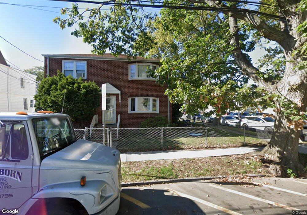
192 N 10th St Unit 194 Newark, NJ 07107
Upper Roseville NeighborhoodEstimated Value: $551,758 - $724,000
--
Bed
--
Bath
2,858
Sq Ft
$226/Sq Ft
Est. Value
About This Home
This home is located at 192 N 10th St Unit 194, Newark, NJ 07107 and is currently estimated at $646,190, approximately $226 per square foot. 192 N 10th St Unit 194 is a home located in Essex County with nearby schools including First Avenue Elementary School, Dr. William H. Horton School, and Rafael Hernandez School.
Ownership History
Date
Name
Owned For
Owner Type
Purchase Details
Closed on
Jun 20, 1994
Sold by
Avallone Ralph
Bought by
Torres Luis and Torres Rosaura
Current Estimated Value
Home Financials for this Owner
Home Financials are based on the most recent Mortgage that was taken out on this home.
Original Mortgage
$156,000
Interest Rate
8.51%
Create a Home Valuation Report for This Property
The Home Valuation Report is an in-depth analysis detailing your home's value as well as a comparison with similar homes in the area
Home Values in the Area
Average Home Value in this Area
Purchase History
| Date | Buyer | Sale Price | Title Company |
|---|---|---|---|
| Torres Luis | $165,000 | -- |
Source: Public Records
Mortgage History
| Date | Status | Borrower | Loan Amount |
|---|---|---|---|
| Closed | Torres Luis | $156,000 |
Source: Public Records
Tax History Compared to Growth
Tax History
| Year | Tax Paid | Tax Assessment Tax Assessment Total Assessment is a certain percentage of the fair market value that is determined by local assessors to be the total taxable value of land and additions on the property. | Land | Improvement |
|---|---|---|---|---|
| 2025 | $6,613 | $177,400 | $33,800 | $143,600 |
| 2024 | $6,613 | $177,400 | $33,800 | $143,600 |
| 2022 | $6,628 | $177,400 | $33,800 | $143,600 |
| 2021 | $6,624 | $177,400 | $33,800 | $143,600 |
| 2020 | $6,741 | $177,400 | $33,800 | $143,600 |
| 2019 | $6,672 | $177,400 | $33,800 | $143,600 |
| 2018 | $6,551 | $177,400 | $33,800 | $143,600 |
| 2017 | $6,315 | $177,400 | $33,800 | $143,600 |
| 2016 | $6,103 | $177,400 | $33,800 | $143,600 |
| 2015 | $5,870 | $177,400 | $33,800 | $143,600 |
| 2014 | $5,501 | $177,400 | $33,800 | $143,600 |
Source: Public Records
Map
Nearby Homes
- 431 N 12th St
- 600 N 6th St Unit B3
- 600 N 6th St
- 600 N 6th St Unit 1103
- 575 N 6th St
- 575 N 6th St Unit 4
- 108 Davenport Ave
- 141 N 16th St
- 102 N 16th St
- 202 N 17th St
- 202 N 17th St Unit 2
- 219 N 16th St
- 220 N 17th St
- 20 Heckel St
- 20 Heckel St Unit 3
- 228 N 17th St
- 101 Ellington St
- 682 N 7th St
- 322 N 10th St
- 684 N 7th St
- 192 S 10th St
- 188 N 10th St Unit 190
- 202 N 10th St
- 465 N 11th St
- 463 N 11th St
- 184 N 10th St Unit 186
- 204 N 10th St
- 184-186 N 10th St
- 459 N 11th St Unit 461
- 473 N 11th St
- 457 N 11th St
- 206 N 10th St Unit 208
- 180 N 10th St Unit 182
- 475 N 11th St Unit 477
- 475 N 11th St
- 459-461 N 11th St
- 180-182 N 10th St
- 453 N 11th St Unit 455
- 475-477 N 11th St
- 479 N 11th St