192 Reynolds Dr Dillon, MT 59725
Estimated Value: $451,000 - $494,000
4
Beds
3
Baths
1,220
Sq Ft
$387/Sq Ft
Est. Value
About This Home
This home is located at 192 Reynolds Dr, Dillon, MT 59725 and is currently estimated at $472,151, approximately $387 per square foot. 192 Reynolds Dr is a home located in Beaverhead County with nearby schools including Parkview School, Dillon Middle School, and Beaverhead Co High School.
Ownership History
Date
Name
Owned For
Owner Type
Purchase Details
Closed on
May 24, 2010
Sold by
Kostrba Thomas L and Kostrba Cynthia L
Bought by
Johnson Billy E and Jones Jessica L
Current Estimated Value
Home Financials for this Owner
Home Financials are based on the most recent Mortgage that was taken out on this home.
Original Mortgage
$182,516
Outstanding Balance
$122,213
Interest Rate
5.03%
Mortgage Type
FHA
Estimated Equity
$349,938
Purchase Details
Closed on
May 4, 2006
Sold by
Hildreth Clayton R and Hildreth Christine
Bought by
Kostrba Thomas L and Kostrba Cynthia L
Create a Home Valuation Report for This Property
The Home Valuation Report is an in-depth analysis detailing your home's value as well as a comparison with similar homes in the area
Purchase History
| Date | Buyer | Sale Price | Title Company |
|---|---|---|---|
| Johnson Billy E | -- | Southern Montana Abstract & | |
| Kostrba Thomas L | -- | None Available |
Source: Public Records
Mortgage History
| Date | Status | Borrower | Loan Amount |
|---|---|---|---|
| Open | Johnson Billy E | $182,516 |
Source: Public Records
Tax History
| Year | Tax Paid | Tax Assessment Tax Assessment Total Assessment is a certain percentage of the fair market value that is determined by local assessors to be the total taxable value of land and additions on the property. | Land | Improvement |
|---|---|---|---|---|
| 2025 | $2,006 | $452,700 | $0 | $0 |
| 2024 | $2,560 | $389,900 | $0 | $0 |
| 2023 | $2,589 | $389,900 | $0 | $0 |
| 2022 | $2,230 | $271,100 | $0 | $0 |
| 2021 | $2,174 | $271,100 | $0 | $0 |
| 2020 | $1,941 | $229,100 | $0 | $0 |
| 2019 | $1,918 | $229,100 | $0 | $0 |
| 2018 | $2,024 | $231,900 | $0 | $0 |
| 2017 | -- | $231,900 | $0 | $0 |
| 2016 | $1,764 | $217,500 | $0 | $0 |
| 2015 | -- | $217,500 | $0 | $0 |
| 2014 | -- | $120,628 | $0 | $0 |
Source: Public Records
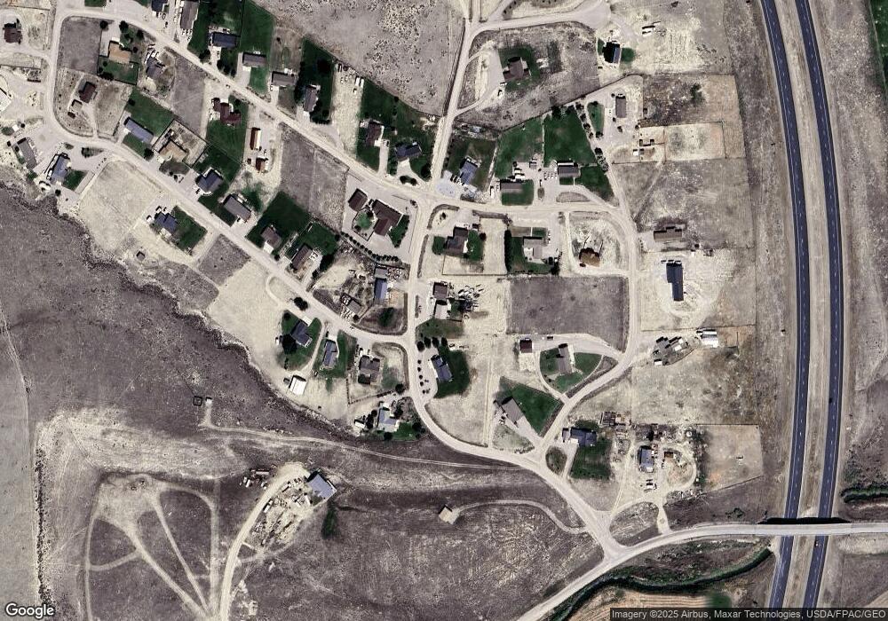
Map
Nearby Homes
- 335 Expedition Dr
- 338 Expedition Dr
- 355 Meriwether Ln
- 1070 Lovers Leap Rd
- 1325 Lovers Leap Rd
- 250 Pioneer Dr
- 325 Silverwood Loop
- 343 N Montana St
- 10 Ramshorn St
- 23 Sunrise St
- 804 N Rife St
- 619 N Railroad St
- 43 Tobacco Root Rd
- 31 Tobacco Root Rd
- 9 Skihi St
- 710 Gamblers Run
- 108 Cloudrest St
- 211 W Sebree St
- 502 Vine St
- 235 S Argenta St
- 193 Reynolds Dr
- 240 Reynolds Dr
- 157 Reynolds Dr
- 120 Reynolds Dr
- 253 Expedition Dr
- 47 Williams Dr
- 133 Reynolds Dr
- 63 Expedition Dr
- 260 Expedition Dr
- 117 Expedition Dr
- 84 Williams Dr
- 61 Williams Dr
- TBD Reynolds Dr
- 292 Expedition Dr
- 363 Expedition Dr
- 310 Expedition Dr
- 207 Expedition Dr
- 106 Williams Dr
- 385 Expedition Dr
- 24 Reynolds Dr
Your Personal Tour Guide
Ask me questions while you tour the home.