192 Summit Rd New London, NH 03257
Estimated Value: $910,000 - $1,894,000
3
Beds
4
Baths
2,501
Sq Ft
$580/Sq Ft
Est. Value
About This Home
This home is located at 192 Summit Rd, New London, NH 03257 and is currently estimated at $1,450,585, approximately $580 per square foot. 192 Summit Rd is a home with nearby schools including Sutton Central Elementary School, Kearsarge Regional Middle School, and Kearsarge Regional High School.
Ownership History
Date
Name
Owned For
Owner Type
Purchase Details
Closed on
Mar 9, 2023
Sold by
Mathias James D and Mathias Kathryn M
Bought by
Peter P Rucci Ret
Current Estimated Value
Purchase Details
Closed on
Jul 19, 2005
Sold by
Oberkotter Harold F
Bought by
Mathias James D and Mathias Kathryn Mclean
Home Financials for this Owner
Home Financials are based on the most recent Mortgage that was taken out on this home.
Original Mortgage
$800,000
Interest Rate
5.67%
Mortgage Type
Purchase Money Mortgage
Purchase Details
Closed on
Jan 2, 2004
Sold by
Blair Donald R
Bought by
Harold F Oberkotter T
Create a Home Valuation Report for This Property
The Home Valuation Report is an in-depth analysis detailing your home's value as well as a comparison with similar homes in the area
Home Values in the Area
Average Home Value in this Area
Purchase History
| Date | Buyer | Sale Price | Title Company |
|---|---|---|---|
| Peter P Rucci Ret | -- | None Available | |
| Mathias James D | -- | None Available | |
| Mathias James D | $1,000,000 | -- | |
| Harold F Oberkotter T | $975,000 | -- |
Source: Public Records
Mortgage History
| Date | Status | Borrower | Loan Amount |
|---|---|---|---|
| Previous Owner | Harold F Oberkotter T | $800,000 |
Source: Public Records
Tax History Compared to Growth
Tax History
| Year | Tax Paid | Tax Assessment Tax Assessment Total Assessment is a certain percentage of the fair market value that is determined by local assessors to be the total taxable value of land and additions on the property. | Land | Improvement |
|---|---|---|---|---|
| 2024 | $31,849 | $1,182,220 | $581,100 | $601,120 |
| 2023 | $29,632 | $1,168,000 | $581,100 | $586,900 |
| 2022 | $26,551 | $1,098,950 | $581,100 | $517,850 |
| 2021 | $26,551 | $1,098,950 | $581,100 | $517,850 |
| 2020 | $27,331 | $1,098,950 | $581,100 | $517,850 |
| 2019 | $24,711 | $821,220 | $353,000 | $468,220 |
| 2016 | $22,157 | $821,220 | $353,000 | $468,220 |
| 2015 | $22,157 | $821,220 | $353,000 | $468,220 |
| 2014 | $21,100 | $872,270 | $424,040 | $448,230 |
| 2012 | $18,121 | $840,110 | $424,040 | $416,070 |
Source: Public Records
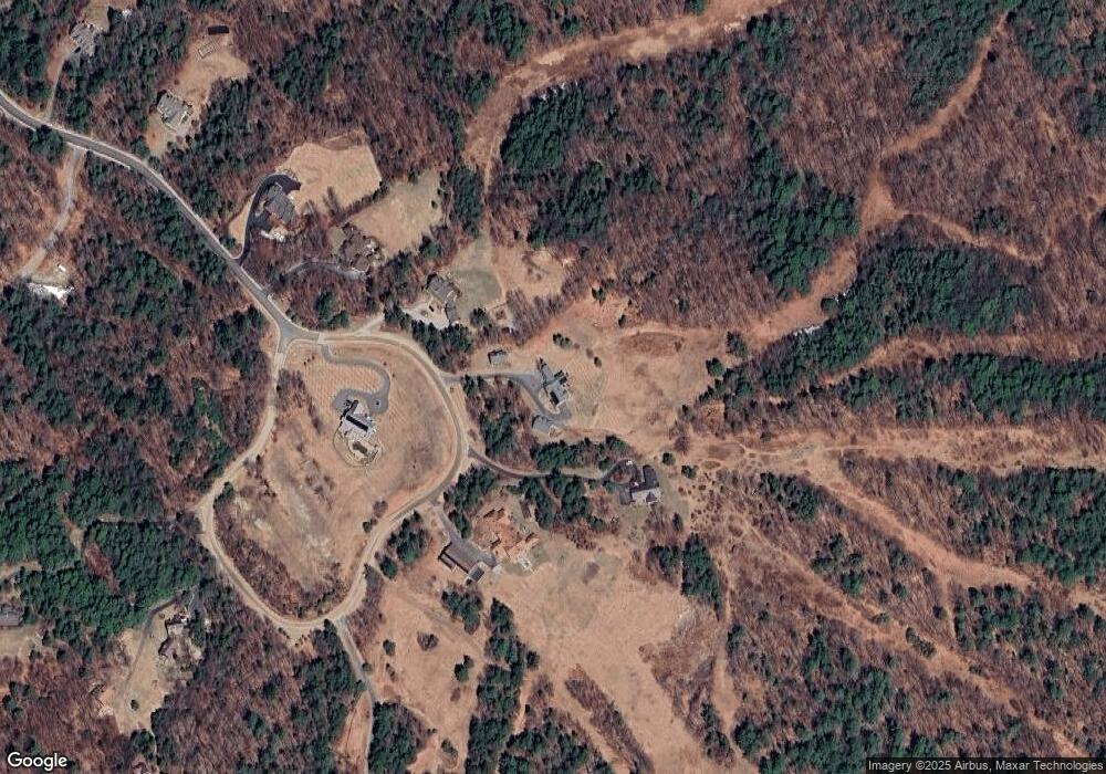
Map
Nearby Homes
- 0 Summit Rd Unit 431
- 00 Mountainside Dr Unit 183
- 158 Quail Run
- 273 Forest Acres Rd
- 0 Fairway Ln Unit 8
- 295 Andover Rd
- 106-23 Fieldstone Ln
- 000 Shaker Rd Unit 288
- 555 Shaker Rd
- 27 Pipers Glen
- 344 Chalk Pond Rd
- 91 Chalk Pond Rd
- 37 Baker Hill Rd
- 155 Wilder Ln
- 81 Gerald Dr
- Lower Crest Rd
- 25 Hilltop Dr
- 58 Kearsarge Rd
- 0 Newport Rd Unit 10
- 10 Highland Ridge Rd