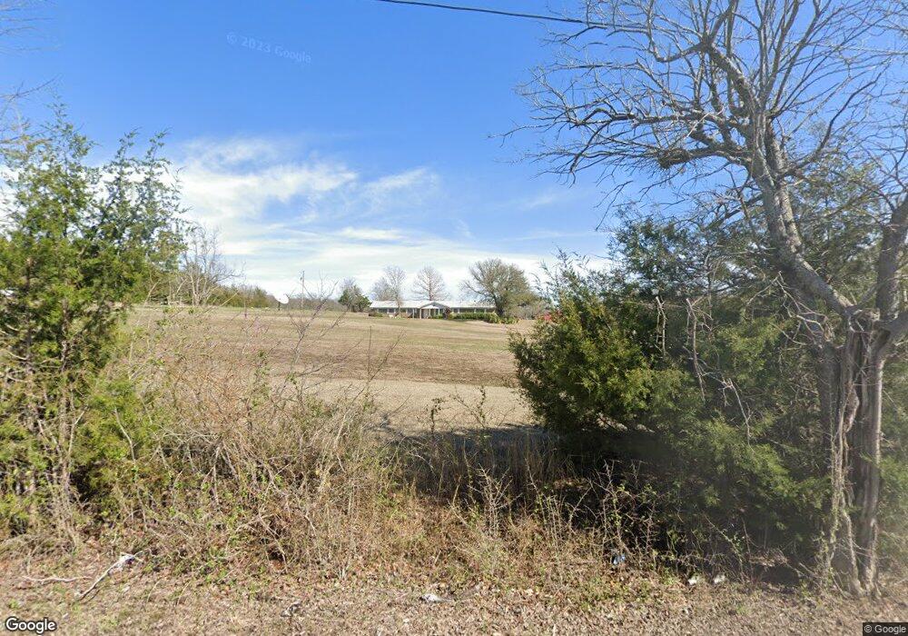
192 Whitney Rd Sherman, TX 75090
Estimated Value: $425,421 - $545,000
--
Bed
--
Bath
1,768
Sq Ft
$274/Sq Ft
Est. Value
About This Home
This home is located at 192 Whitney Rd, Sherman, TX 75090 and is currently estimated at $485,211, approximately $274 per square foot. 192 Whitney Rd is a home located in Grayson County with nearby schools including Jefferson Elementary School, Dillingham Intermediate School, and Piner Middle School.
Ownership History
Date
Name
Owned For
Owner Type
Purchase Details
Closed on
Mar 1, 2007
Sold by
Whitney Harold Wayne and Whitney Mary Alice
Bought by
Yowell Josh
Current Estimated Value
Home Financials for this Owner
Home Financials are based on the most recent Mortgage that was taken out on this home.
Original Mortgage
$59,048
Outstanding Balance
$24,916
Interest Rate
6.25%
Mortgage Type
Purchase Money Mortgage
Estimated Equity
$460,295
Create a Home Valuation Report for This Property
The Home Valuation Report is an in-depth analysis detailing your home's value as well as a comparison with similar homes in the area
Home Values in the Area
Average Home Value in this Area
Purchase History
| Date | Buyer | Sale Price | Title Company |
|---|---|---|---|
| Yowell Josh | -- | Security Title |
Source: Public Records
Mortgage History
| Date | Status | Borrower | Loan Amount |
|---|---|---|---|
| Open | Yowell Josh | $59,048 |
Source: Public Records
Tax History Compared to Growth
Tax History
| Year | Tax Paid | Tax Assessment Tax Assessment Total Assessment is a certain percentage of the fair market value that is determined by local assessors to be the total taxable value of land and additions on the property. | Land | Improvement |
|---|---|---|---|---|
| 2025 | $7,559 | $464,721 | $289,318 | $175,403 |
| 2024 | $7,559 | $447,518 | $293,156 | $154,362 |
| 2023 | $7,762 | $458,934 | $266,083 | $192,851 |
| 2022 | $6,979 | $371,656 | $175,015 | $196,641 |
| 2021 | $2,859 | $232,597 | $102,765 | $129,832 |
| 2020 | $2,752 | $202,923 | $94,990 | $107,933 |
| 2019 | $2,728 | $175,791 | $61,109 | $114,682 |
| 2018 | $2,292 | $124,330 | $6,412 | $117,918 |
| 2017 | $2,093 | $102,743 | $6,436 | $96,307 |
| 2016 | $1,920 | $91,375 | $6,422 | $84,953 |
| 2015 | $535 | $91,375 | $6,422 | $84,953 |
| 2014 | -- | $88,102 | $6,426 | $81,676 |
Source: Public Records
Map
Nearby Homes
- 4504 Bethany Rd
- 2493 Baker Ridge Rd
- 322 Grigg Rd
- 8469 State Highway 56
- 176 Blue Creek Cir
- 225 Jp Cave Rd
- 539 Smith Oak Rd
- 545 Mitchell Rd
- 22.278 Acres Baker Ridge Rd
- 642 Smith Oak Rd
- 591 Mitchell Rd
- 1350 Independence Springs
- 979 Mitchell Rd
- 11086 State Highway 56
- 262 Pecan Valley Ct
- Lot 4 Smith Oak Rd
- 1088 Smith Oak Rd
- 72 Raintree Rd
- 9426 Dripping Spring Rd
- 9436 Dripping Spring Rd
- 192 Whitney Rd
- 244 Whitney Rd
- 191 Whitney Rd
- 221 Whitney Rd
- 120 Whitney Rd
- 149 Whitney Rd
- 3377 Bethany Rd
- 3395 Bethany Rd
- 353 Whitney Rd
- 3423 Bethany Rd
- 3535 Bethany Rd
- 3333 Bethany Rd
- 3611 Bethany Rd
- 3697 Bethany Rd
- 3488 Bethany Rd
- 3629 Bethany Rd
- 3331 Bethany Rd
- 3446 Bethany Rd
- 3280 Bethany Rd
- 3374 Bethany Rd