1920 Airport Rd Gooding, ID 83330
Estimated Value: $739,000 - $1,416,000
3
Beds
4
Baths
4,964
Sq Ft
$198/Sq Ft
Est. Value
About This Home
This home is located at 1920 Airport Rd, Gooding, ID 83330 and is currently estimated at $982,013, approximately $197 per square foot. 1920 Airport Rd is a home with nearby schools including Gooding Elementary School, Gooding Middle School, and Gooding High School.
Ownership History
Date
Name
Owned For
Owner Type
Purchase Details
Closed on
Feb 10, 2012
Sold by
Thomas Barbara K
Bought by
Thomas Dale A
Current Estimated Value
Purchase Details
Closed on
Jan 3, 2006
Sold by
Thomas Dale Allen
Bought by
Thomas Dale A and Thomas Barbara K
Create a Home Valuation Report for This Property
The Home Valuation Report is an in-depth analysis detailing your home's value as well as a comparison with similar homes in the area
Home Values in the Area
Average Home Value in this Area
Purchase History
| Date | Buyer | Sale Price | Title Company |
|---|---|---|---|
| Thomas Dale A | -- | Land Title And Escrow | |
| Thomas Dale A | -- | -- |
Source: Public Records
Tax History Compared to Growth
Tax History
| Year | Tax Paid | Tax Assessment Tax Assessment Total Assessment is a certain percentage of the fair market value that is determined by local assessors to be the total taxable value of land and additions on the property. | Land | Improvement |
|---|---|---|---|---|
| 2025 | $2,342 | $547,203 | $149,444 | $397,759 |
| 2024 | $2,342 | $547,203 | $149,444 | $397,759 |
| 2023 | $2,313 | $547,203 | $149,444 | $397,759 |
| 2022 | $2,867 | $547,203 | $149,444 | $397,759 |
| 2021 | $2,751 | $470,946 | $92,128 | $378,818 |
| 2020 | $2,250 | $349,529 | $55,564 | $293,965 |
| 2019 | $2,015 | $303,259 | $46,637 | $256,622 |
| 2018 | $1,807 | $292,410 | $46,637 | $245,773 |
| 2017 | $1,711 | $0 | $0 | $0 |
| 2016 | $1,859 | $0 | $0 | $0 |
| 2015 | $2,018 | $0 | $0 | $0 |
| 2014 | -- | $0 | $0 | $0 |
| 2011 | -- | $0 | $0 | $0 |
Source: Public Records
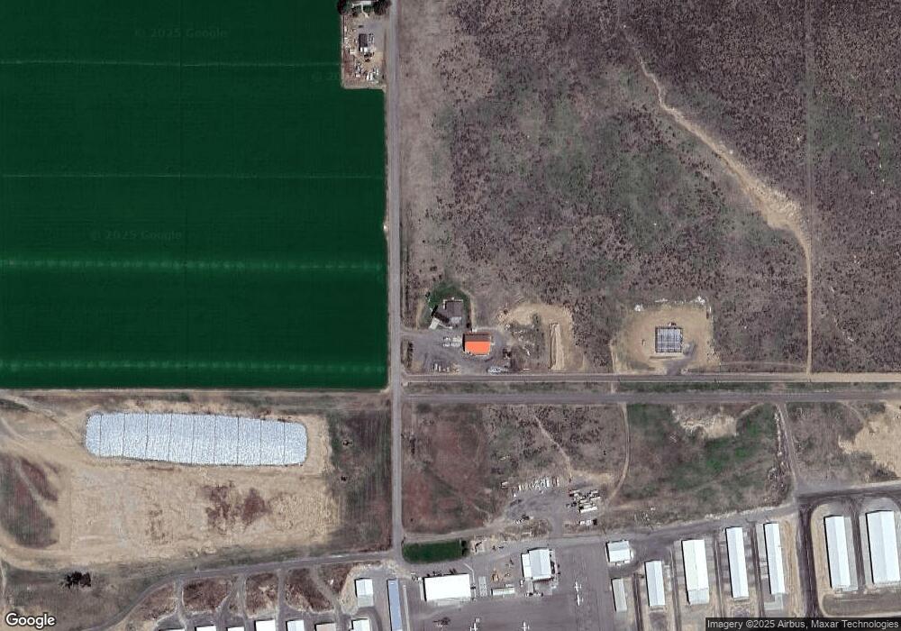
Map
Nearby Homes
- 1526 Highway 26
- 1872 S 1800 E
- 1846 S 1800 E
- 1806 E 1800 S
- 1808 E 1800 S
- 1810 E 1800 S
- 1814 E 1800 S
- 1812 E 1800 S
- 1816 E 1800 S
- 1525 Mountain View Dr
- 1786 S 1800 E
- 636 Spruce Cir
- 1306 7th Ave W
- 1045 Utah St
- 238 Dorothy Ave
- 1711 California St
- 1224 Colorado St
- TBD U S Highway 26
- 1410 California St
- 2039 Main St
- 1671 E 1925 S
- 0 Airport Rd
- 1945 Airport Rd
- 1901 Airport Rd
- 1761 E 2200 S
- 1729 Gillette Rd
- 1875 S 1600 E
- 1875 S 1600 E
- 1869 S 1600 E
- 1654 E 1850 S Unit A
- 1640 E 1850 S
- 1735 Gillette Rd
- 1741 Gillette Rd Unit 26
- 1863 S 1600 E
- 1741 Highway 26
- 1741 U S Highway 26
- 1745 Gillette Rd
- 1747 Gillette Rd
- 1603 E 1850 S